
Road cycling GPX tracks in Corsica
23 GPX tracks in Corsica, with distance, elevation gain and time for each track. Filter by department, sport, distance, elevation gain and time.
Departments in Corsica
Filter the list below by department.
Regions
Pick a region on the map or below. Grey regions have no tracks yet.
Mountain ranges
Pick a mountain range on the map or below: all its tracks, whatever the region.
All GPX tracks in Corsica


 Plan IGN © IGN 2026 · track © OpenStreetMapBastia - CasamozzaCorsica, Biguglia (2B) · Point to point
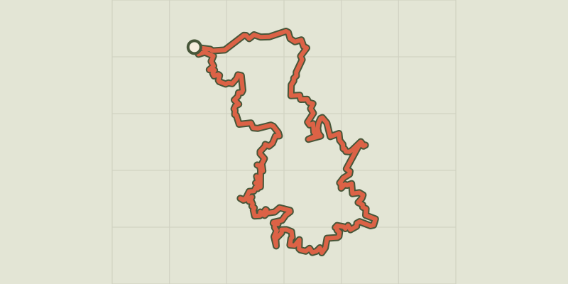 Plan IGN © IGN 2026 · track © OpenStreetMapCol de BattagliaBalagne, L'Île-Rousse (2B) · Loop
 Plan IGN © IGN 2026 · track © OpenStreetMapGrand tour des PieveBalagne, L'Île-Rousse (2B) · Loop
 Plan IGN © IGN 2026 · track © OpenStreetMapGT20 / Étape 1 : Bastia - CenturiCap Corse, Bastia (2B) · Point to point
 Plan IGN © IGN 2026 · track © OpenStreetMapGT20 / Étape 10 : Ghisoni - ZicavuCorsica, Ghisoni (2B) · Point to point
 Plan IGN © IGN 2026 · track © OpenStreetMapGT20 / Étape 11 : Zicavu - ZonzaCorsica, Cozzano (2A) · Point to point
 Plan IGN © IGN 2026 · track © OpenStreetMapGT20 / Étape 12 : Zonza - BunifaziuCorsica, Zonza (2A) · Point to point
 Plan IGN © IGN 2026 · track © OpenStreetMapGT20 / Étape 3 : San Fiurenzu - BelgudeBalagne, Saint-Florent (2B) · Point to point
 Plan IGN © IGN 2026 · track © OpenStreetMapGT20 / Étape 4 : Belgude - CalinzanaBalagne, Belgodère (2B) · Point to point
 Plan IGN © IGN 2026 · track © OpenStreetMapGT20 / Étape 5 : Calinzana - GaleriaBalagne, Calenzana (2B) · Point to point
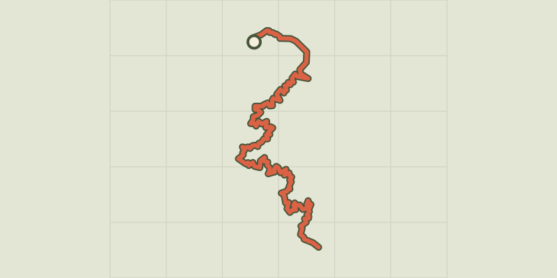 Plan IGN © IGN 2026 · track © OpenStreetMapGT20 / Étape 6 : Galeria - PortuBalagne, Galéria (2B) · Point to point
 Plan IGN © IGN 2026 · track © OpenStreetMapGT20 / Étape 7 : Portu - VerghjuCorsica, Ota (2A) · Point to point
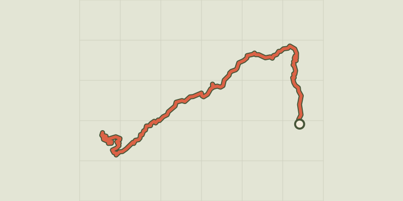 Plan IGN © IGN 2026 · track © OpenStreetMapGT20 / Étape 8 : Verghju - CortiCorsica, Corte (2B) · Point to point
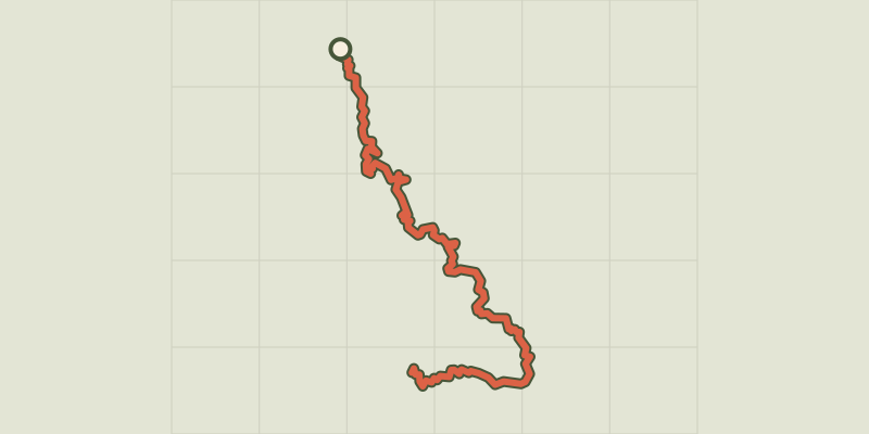 Plan IGN © IGN 2026 · track © OpenStreetMapGT20 / Étape 9 : Corti - GhisoniCorsica, Corte (2B) · Point to point
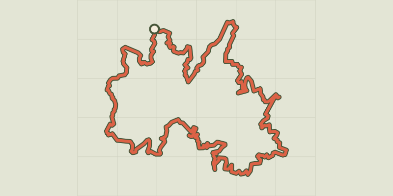 Plan IGN © IGN 2026 · track © OpenStreetMapTour de la Haute BalagneBalagne, L'Île-Rousse (2B) · Loop
 Plan IGN © IGN 2026 · track © OpenStreetMapTour du piemont balaninBalagne, Monticello (2B) · Point to point
 Plan IGN © IGN 2026 · track © OpenStreetMapTour du ReginuBalagne, L'Île-Rousse (2B) · Loop
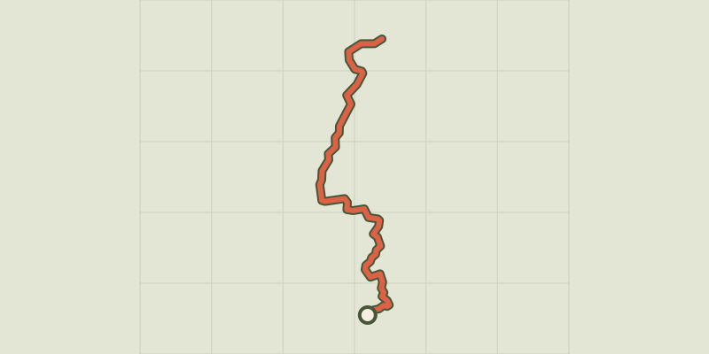 Plan IGN © IGN 2026 · track © OpenStreetMapTraversée Belgodere - LosariBalagne, Belgodère (2B) · Point to point
 Plan IGN © IGN 2026 · track © OpenStreetMapTraversée Feliceto - L'Ile-RousseBalagne, Feliceto (2B) · Point to point
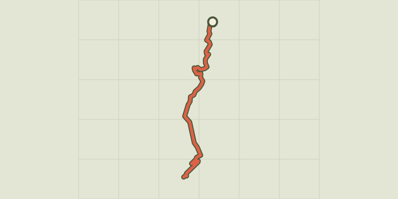 Plan IGN © IGN 2026 · track © OpenStreetMapVers GT20 : L'Ile-Rousse - MuroBalagne, L'Île-Rousse (2B) · Point to point
 Plan IGN © IGN 2026 · track © OpenStreetMapVers GT20 : L'Ile-Rousse - Ville di ParasoBalagne, L'Île-Rousse (2B) · Point to point
 Plan IGN © IGN 2026 · track © OpenStreetMapVers GT20 : Losari - PalascaBalagne, Belgodère (2B) · Point to point
 Plan IGN © IGN 2026 · track © OpenStreetMapVers GT20 (Salvi) : L'Ile-Rousse - MontemaggioreBalagne, L'Île-Rousse (2B) · Point to point