
GPX tracks in the Vercors
8 GPX tracks in the Vercors, with distance, elevation gain and time for each track. Filter by department, sport, distance, elevation gain and time.
Departments in the Vercors
Filter the list below by department.
Regions
Pick a region on the map or below. Grey regions have no tracks yet.
Mountain ranges
Pick a mountain range on the map or below: all its tracks, whatever the region.
All GPX tracks in the Vercors

 Plan IGN © IGN 2026 · track © OpenStreetMapChemin du GoutarouxVercors, Saint-Martin-de-Clelles (38) · Point to point
 Plan IGN © IGN 2026 · track © OpenStreetMapChemin patrimonial de la montagne du LaudVercors, Gresse-en-Vercors (38) · Loop
 Plan IGN © IGN 2026 · track © OpenStreetMapD'Ezy au tunnel du MortierVercors, Noyarey (38) · Point to point
 Plan IGN © IGN 2026 · track © OpenStreetMapLes carnets d'AchianeVercors, Châtillon-en-Diois (26) · Loop
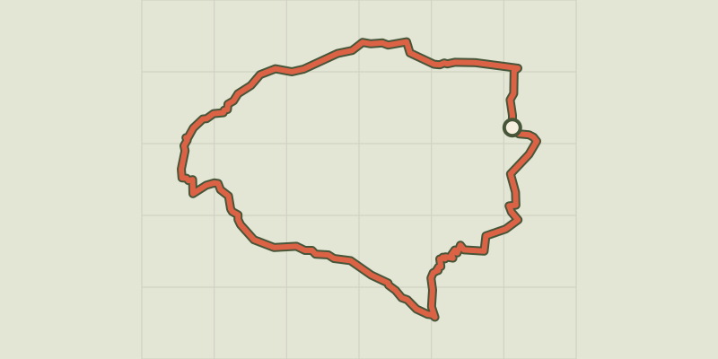 Plan IGN © IGN 2026 · track © OpenStreetMapPas de l'AiguilleVercors, Chichilianne (38) · Loop
 Plan IGN © IGN 2026 · track © OpenStreetMapSentier d'interprétation du karstVercors, Bouvante (26) · Loop
 Plan IGN © IGN 2026 · track © OpenStreetMapSentier des deux colsVercors, Saint-Paul-de-Varces (38) · Point to point
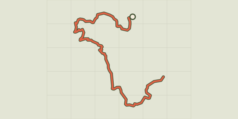 Plan IGN © IGN 2026 · track © OpenStreetMapTraversée de la ferme DurandVercors, Sassenage (38) · Point to point