
GPX tracks in Cap Corse
9 GPX tracks in Cap Corse, with distance, elevation gain and time for each track. Filter by sport, distance, elevation gain and time.
Regions
Pick a region on the map or below. Grey regions have no tracks yet.
Mountain ranges
Pick a mountain range on the map or below: all its tracks, whatever the region.
All GPX tracks in Cap Corse

 Plan IGN © IGN 2026 · track © OpenStreetMapBalade littorale du Monte Rossu et des moulinsCap Corse, Morsiglia (2B) · Point to point
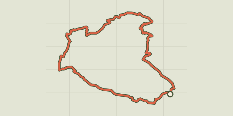 Plan IGN © IGN 2026 · track © OpenStreetMapBoucle du Monte StelloCap Corse, Brando (2B) · Loop
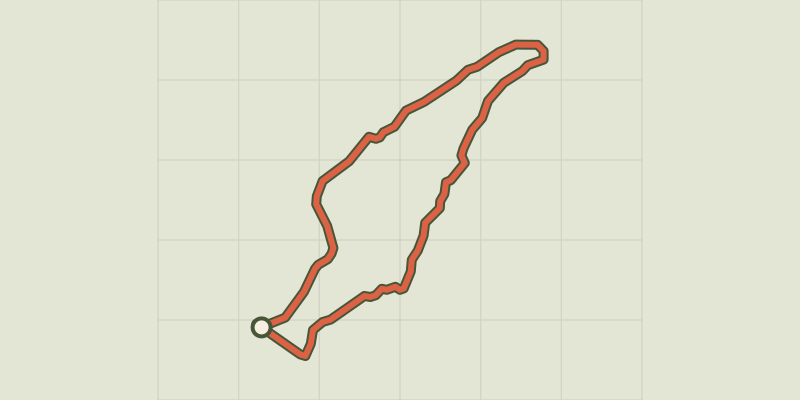 Plan IGN © IGN 2026 · track © OpenStreetMapBoucle Imiza-Bergerie de GolpaniCap Corse, Canari (2B) · Loop
 Plan IGN © IGN 2026 · track © OpenStreetMapBoucle Marinca-ScalaCap Corse, Canari (2B) · Point to point
 Plan IGN © IGN 2026 · track © OpenStreetMapBoucle Scala BrocciuCap Corse, Canari (2B) · Loop

 Plan IGN © IGN 2026 · track © OpenStreetMapGT20 / Étape 1 : Bastia - CenturiCap Corse, Bastia (2B) · Point to point
 Plan IGN © IGN 2026 · track © OpenStreetMapLe tour du CucaruCap Corse, Canari (2B) · Point to point
 Plan IGN © IGN 2026 · track © OpenStreetMapMonte Pratu et Cima di e FollicCap Corse, Canari (2B) · Point to point
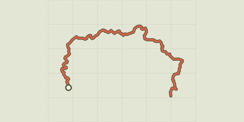 Plan IGN © IGN 2026 · track © OpenStreetMapSentier des Douaniers du Cap CorseCap Corse, Centuri (2B) · Point to point