
GPX tracks in the Basque Country
10 GPX tracks in the Basque Country, with distance, elevation gain and time for each track. Filter by sport, distance, elevation gain and time.
Regions
Pick a region on the map or below. Grey regions have no tracks yet.
Mountain ranges
Pick a mountain range on the map or below: all its tracks, whatever the region.
All GPX tracks in the Basque Country

 Plan IGN © IGN 2026 · track © OpenStreetMapArtagaBasque Country, Saint-Pierre-d'Irube (64) · Loop
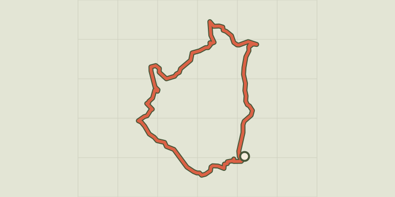 Plan IGN © IGN 2026 · track © OpenStreetMapAutour de Sare / Sarako itzuliaPyrenees, Sare (64) · Loop
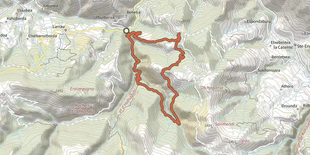 Plan IGN © IGN 2026 · track © OpenStreetMapBoucle d'ArdakotxeaPyrenees, Larrau (64) · Loop
 Plan IGN © IGN 2026 · track © OpenStreetMapElizaberriBasque Country, Mouguerre (64) · Point to point
 Plan IGN © IGN 2026 · track © OpenStreetMapElorrietaPyrenees, Saint-Étienne-de-Baïgorry (64) · Loop
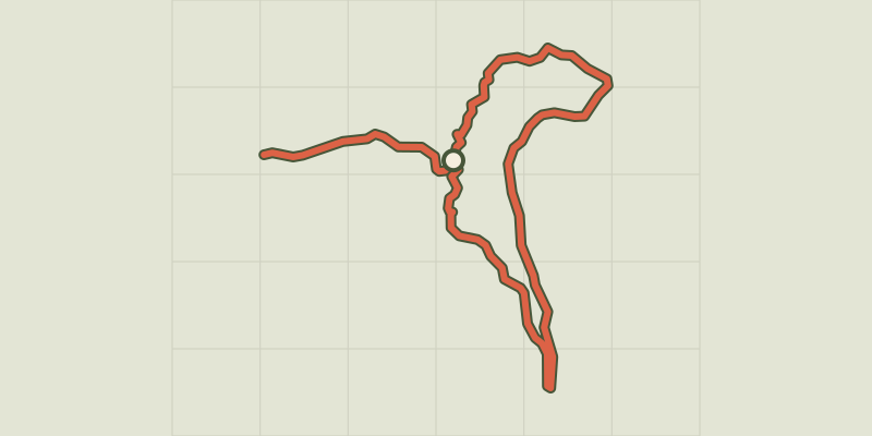 Plan IGN © IGN 2026 · track © OpenStreetMapHaitzederBasque Country, Hasparren (64) · Point to point

 Plan IGN © IGN 2026 · track © OpenStreetMapLe sentier d'IbardinBasque Country, Urrugne (64) · Loop
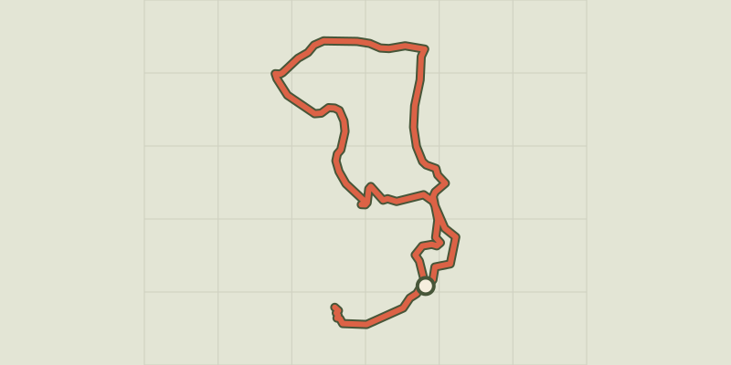 Plan IGN © IGN 2026 · track © OpenStreetMapPic des EscaliersPyrenees, Larrau (64) · Point to point
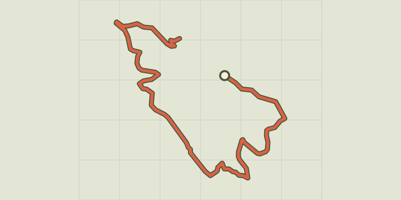 Plan IGN © IGN 2026 · track © OpenStreetMapSentier des sommetsBasque Country, Ascain (64) · Point to point
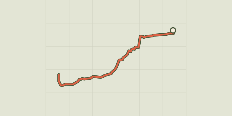 Plan IGN © IGN 2026 · track © OpenStreetMapSentier Littoral Bidart-Hendaye : tracé temporaireBasque Country, Ciboure (64) · Point to point