
GPX tracks in Auvergne-Rhône-Alpes
551 GPX tracks in Auvergne-Rhône-Alpes, with distance, elevation gain and time for each track. Filter by department, sport, distance, elevation gain and time.
Departments in Auvergne-Rhône-Alpes
Filter the list below by department.
Regions
Pick a region on the map or below. Grey regions have no tracks yet.
Mountain ranges
Pick a mountain range on the map or below: all its tracks, whatever the region.
All GPX tracks in Auvergne-Rhône-Alpes

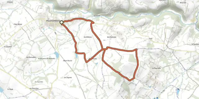
 Plan IGN © IGN 2026Allee des ChenesAuvergne, Villossanges (63) · Loop
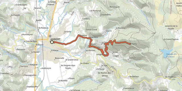 Plan IGN © IGN 2026Ambert / ChomyAuvergne, Ambert (63) · Point to point
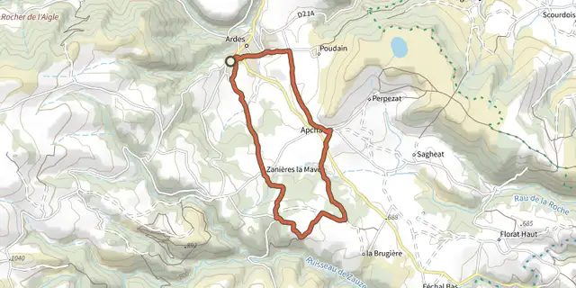 Plan IGN © IGN 2026ApchatAuvergne, Ardes (63) · Loop
 Plan IGN © IGN 2026Aubusson-d'Auvergne - OllierguesAuvergne, Olliergues (63) · Point to point
 Plan IGN © IGN 2026AulnayAuvergne, Égliseneuve-d'Entraigues (63) · Loop
 Plan IGN © IGN 2026Autour de ChatratAuvergne, Saint-Genès-Champanelle (63) · Loop
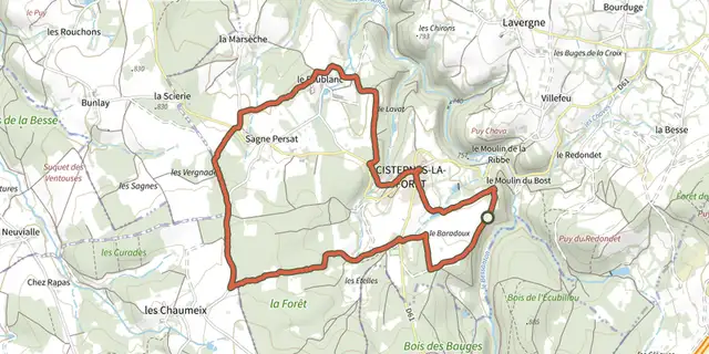 Plan IGN © IGN 2026Autour de CisternesAuvergne, Cisternes-la-Forêt (63) · Loop
 Plan IGN © IGN 2026Autour de la Maison du ParcAuvergne, Saint-Gervais-sous-Meymont (63) · Loop
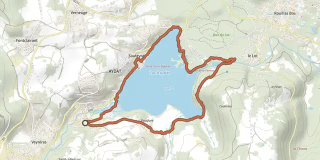 Plan IGN © IGN 2026Autour du lac d'AydatAuvergne, Aydat (63) · Loop
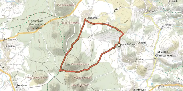 Plan IGN © IGN 2026Autour du Puy de MercoeurAuvergne, Saint-Genès-Champanelle (63) · Loop
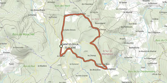 Plan IGN © IGN 2026Aux Sources de La DoloreAuvergne, Saint-Éloy-la-Glacière (63) · Loop
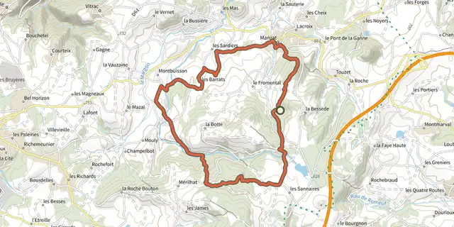 Plan IGN © IGN 2026Aux Sources de la MorgeAuvergne, Manzat (63) · Loop
 Plan IGN © IGN 2026Aydat et ses puysAuvergne, Aydat (63) · Loop
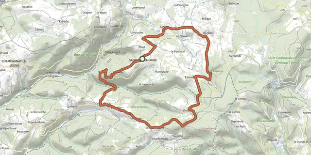 Plan IGN © IGN 2026Balade des CrêtesAuvergne, Sainte-Catherine (63) · Loop
 Plan IGN © IGN 2026Bane et AnzelleAuvergne, Cournon-d'Auvergne (63) · Loop
 Plan IGN © IGN 2026BanneCévennes, Banne (07) · LoopOfficial rating by Parc national des Cévennes
 Plan IGN © IGN 2026Bard et LetzAuvergne, Madriat (63) · Loop
 Plan IGN © IGN 2026BeauvoirAuvergne, Saint-Anthème (63) · Loop
 Plan IGN © IGN 2026BÉNIVAY-OLLON, Le vallon d'AyguemarseAuvergne-Rhône-Alpes, Bénivay-Ollon (26) · LoopOfficial rating by Parcs naturels régionaux de Provence-Alpes-Côte d'Azur
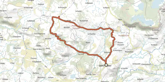 Plan IGN © IGN 2026BertinetAuvergne, Saint-Donat (63) · Loop
 Plan IGN © IGN 2026Besserve et SiouleAuvergne, Sauret-Besserve (63) · Loop
 Plan IGN © IGN 2026BogonAuvergne, Égliseneuve-d'Entraigues (63) · Loop
 Plan IGN © IGN 2026Bois de MotaillasAuvergne, Vitrac (63) · Loop
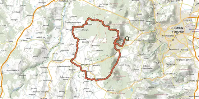 Plan IGN © IGN 2026Boucle des Dômes 49 km Version courteAuvergne, Orcines (63) · Point to point