
Hiking GPX tracks in the Vosges
548 GPX tracks in the Vosges, with distance, elevation gain and time for each track. Filter by department, sport, distance, elevation gain and time.
Departments in the Vosges
Filter the list below by department.
Regions
Pick a region on the map or below. Grey regions have no tracks yet.
Mountain ranges
Pick a mountain range on the map or below: all its tracks, whatever the region.
All GPX tracks in the Vosges


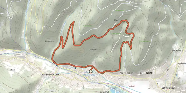
 Plan IGN © IGN 2026 · track © OpenStreetMapA la recherche du chaudron de DiableVosges, Lautenbach (68) · Loop
 Plan IGN © IGN 2026 · track © OpenStreetMapAndreaskreuz gelbVosges, Dabo (57) · Point to point
 Plan IGN © IGN 2026 · track © OpenStreetMapAnneau bleuVosges, Dabo (57) · Loop
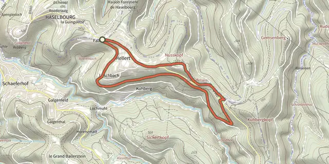 Plan IGN © IGN 2026 · track © OpenStreetMapAnneau bleuVosges, Haselbourg (57) · Loop
 Plan IGN © IGN 2026 · track © OpenStreetMapAnneau vertVosges, Wissembourg (67) · Loop
 Plan IGN © IGN 2026 · track © OpenStreetMapAutour de Mollau (parcours expo photo)Vosges, Mollau (68) · Loop
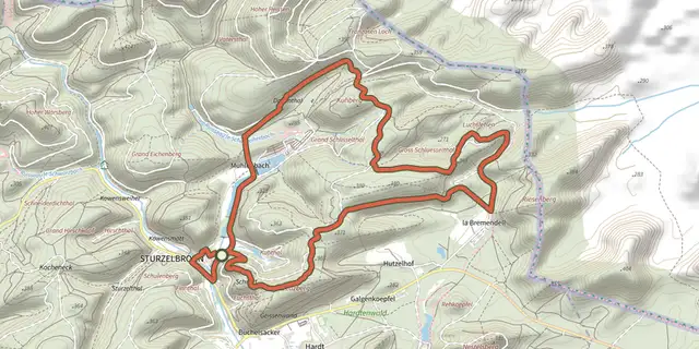 Plan IGN © IGN 2026 · track © OpenStreetMapAutour des Moines de SturzelbronnVosges, Sturzelbronn (57) · Loop
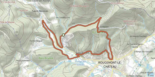 Plan IGN © IGN 2026 · track © OpenStreetMapBalade au pied du châteauVosges, Rougemont-le-Château (90) · Loop
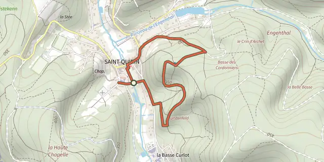 Plan IGN © IGN 2026 · track © OpenStreetMapBalade CroquenotVosges, Saint-Quirin (57) · Loop
 Plan IGN © IGN 2026 · track © OpenStreetMapBalade des BornesVosges, Leval (90) · Loop
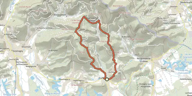 Plan IGN © IGN 2026 · track © OpenStreetMapBalade des ChevreuilsVosges, Étueffont (90) · Loop
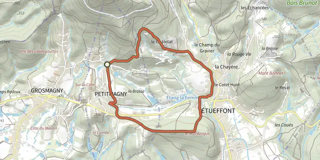 Plan IGN © IGN 2026 · track © OpenStreetMapBalade des Terres RougesVosges, Petitmagny (90) · Loop
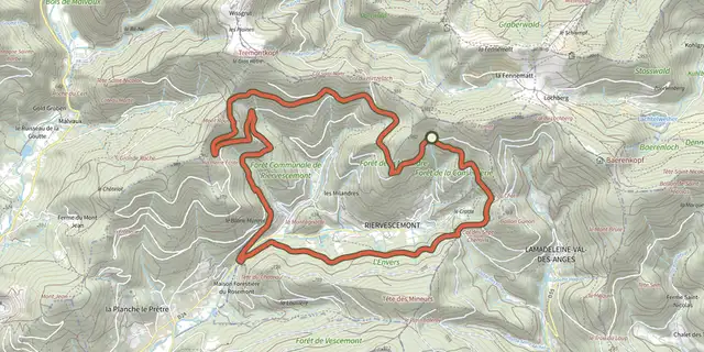 Plan IGN © IGN 2026 · track © OpenStreetMapBalade du ChantoiseauVosges, Riervescemont (90) · Loop
 Plan IGN © IGN 2026 · track © OpenStreetMapBalade du Mont BonnetVosges, Étueffont (90) · Loop
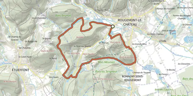 Plan IGN © IGN 2026 · track © OpenStreetMapBalade du Mont MartyVosges, Rougemont-le-Château (90) · Loop
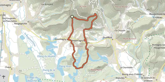 Plan IGN © IGN 2026 · track © OpenStreetMapBalade sous le FayéVosges, Grosmagny (90) · Loop
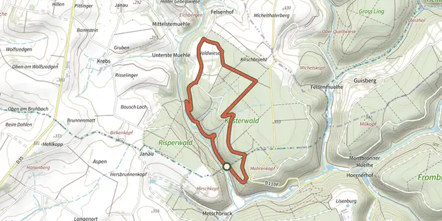 Plan IGN © IGN 2026 · track © OpenStreetMapBig Bining Oak circular hikeVosges, Montbronn (57) · Loop
 Plan IGN © IGN 2026 · track © OpenStreetMapBlue dotVosges, Philippsbourg (57) · Point to point
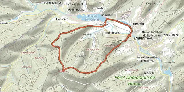 Plan IGN © IGN 2026 · track © OpenStreetMapBlue ringVosges, Baerenthal (57) · Loop
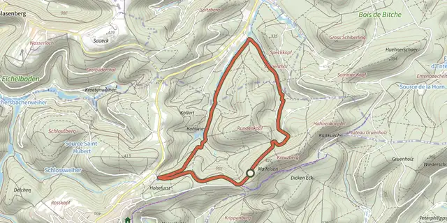 Plan IGN © IGN 2026 · track © OpenStreetMapBlue ringVosges, Lemberg (57) · Loop
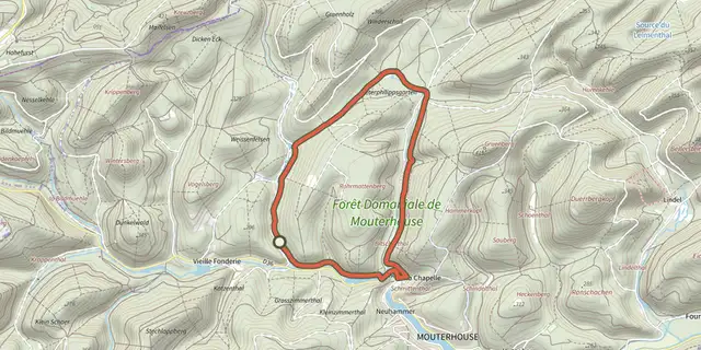 Plan IGN © IGN 2026 · track © OpenStreetMapBlue ringVosges, Mouterhouse (57) · Loop
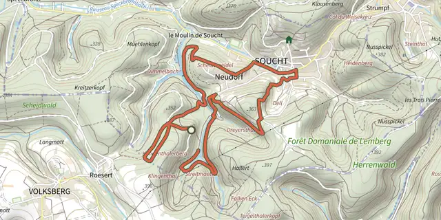 Plan IGN © IGN 2026 · track © OpenStreetMapBlue ringVosges, Soucht (57) · Loop
 Plan IGN © IGN 2026 · track © OpenStreetMapBlue triangleVosges, Philippsbourg (57) · Point to point
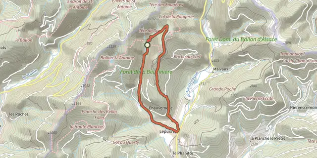 Plan IGN © IGN 2026 · track © OpenStreetMapBoucle de la BeucinièreVosges, Lepuix (90) · Loop