
GPX tracks in Provence-Alpes-Côte d'Azur (page 26)
1,146 GPX tracks in Provence-Alpes-Côte d'Azur, with distance, elevation gain and time for each track. Filter by department, sport, distance, elevation gain and time.
All GPX tracks in Provence-Alpes-Côte d'Azur


 Plan IGN © IGN 2026Le Mas - Montagne de CharamelProvence-Alpes-Côte d'Azur, Le Mas (06) · LoopOfficial rating by Parcs naturels régionaux de Provence-Alpes-Côte d'Azur
 Plan IGN © IGN 2026Le MéaleProvence-Alpes-Côte d'Azur, Saint-Sauveur (05) · LoopOfficial rating by Parc national des Écrins

 Plan IGN © IGN 2026Le MéaleProvence-Alpes-Côte d'Azur, Les Orres (05) · LoopOfficial rating by Parc national des Écrins
 Plan IGN © IGN 2026Le Mélézin depuis le Centre MontagneProvence-Alpes-Côte d'Azur, Villar-Saint-Pancrace (05) · Out and backOfficial rating by Parc national des Écrins
 Plan IGN © IGN 2026Le Mont ChabertonProvence-Alpes-Côte d'Azur, Montgenèvre (05) · Out and backOfficial rating by Parc national des Écrins
 Plan IGN © IGN 2026Le Mont Thabor depuis la vallée étroiteProvence-Alpes-Côte d'Azur, Névache (05) · Out and backOfficial rating by Parc national des Écrins
 Plan IGN © IGN 2026Le Mont Thabor depuis LavalProvence-Alpes-Côte d'Azur, Névache (05) · Out and backOfficial rating by Parc national des Écrins
 Plan IGN © IGN 2026Le montagne du MoutetProvence-Alpes-Côte d'Azur, La Fare-en-Champsaur (05) · Out and backOfficial rating by Parc national des Écrins
 Plan IGN © IGN 2026Col du Morgonnet and Cabane du JasProvence-Alpes-Côte d'Azur, Pontis (04) · LoopOfficial rating by Parc national des Écrins
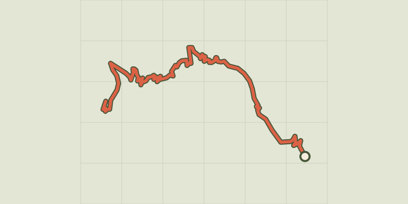 Plan IGN © IGN 2026Le PalastreÉcrins, Saint-Jean-Saint-Nicolas (05) · Out and backOfficial rating by Parc national des Écrins
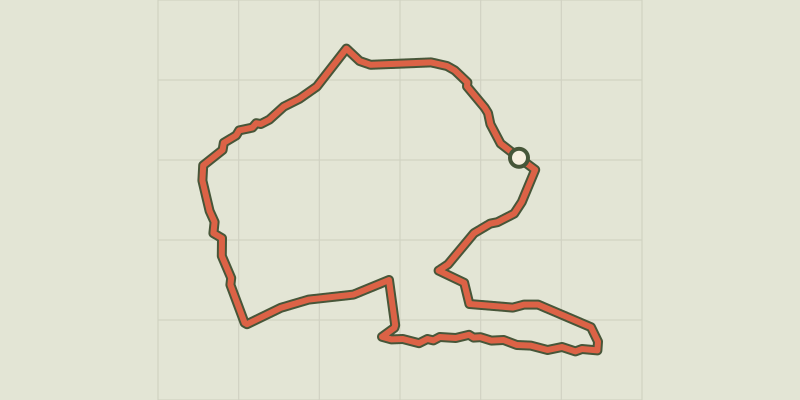 Plan IGN © IGN 2026Le Paradou - Défends de SousteyranProvence-Alpes-Côte d'Azur, Paradou (13) · LoopOfficial rating by Parcs naturels régionaux de Provence-Alpes-Côte d'Azur
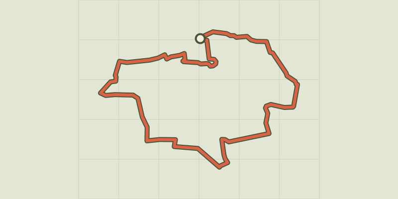
 Plan IGN © IGN 2026Le Paradou - Le tour du Marais des Baux à véloProvence-Alpes-Côte d'Azur, Paradou (13) · LoopOfficial rating by Parcs naturels régionaux de Provence-Alpes-Côte d'Azur
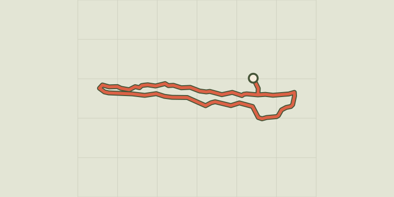 Plan IGN © IGN 2026Le Paradou - The Castillon TowersProvence-Alpes-Côte d'Azur, Paradou (13) · LoopOfficial rating by Parcs naturels régionaux de Provence-Alpes-Côte d'Azur

 Plan IGN © IGN 2026Le ParpaillonProvence-Alpes-Côte d'Azur, Crévoux (05) · Out and backOfficial rating by Parc national des Écrins
 Plan IGN © IGN 2026The Pas de l'OlanÉcrins, La Chapelle-en-Valgaudémar (05) · LoopOfficial rating by Parc national des Écrins
 Plan IGN © IGN 2026Le Pas de CavaleÉcrins, L'Argentière-la-Bessée (05) · Out and backOfficial rating by Parc national des Écrins
 Plan IGN © IGN 2026Le petit boisProvence-Alpes-Côte d'Azur, Chorges (05) · LoopOfficial rating by Parc national des Écrins
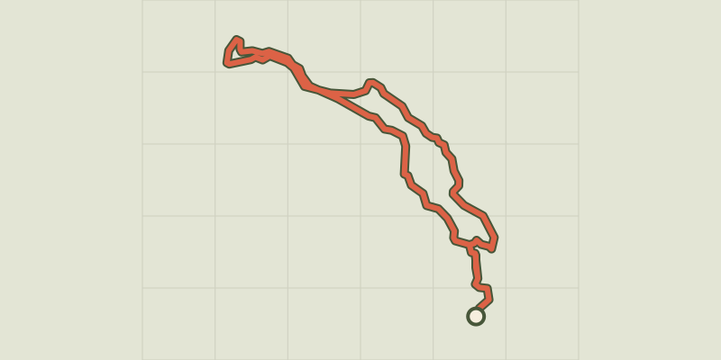 Plan IGN © IGN 2026Le Peuple des OiseauxÉcrins, Réallon (05) · LoopOfficial rating by Parc national des Écrins
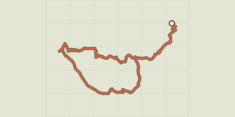 Plan IGN © IGN 2026The Pic de MorgonÉcrins, Crots (05) · LoopOfficial rating by Parc national des Écrins
 Plan IGN © IGN 2026Le Pic de Morgon via Pierre ArnouxÉcrins, Savines-le-Lac (05) · Out and backOfficial rating by Parc national des Écrins
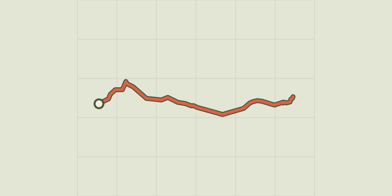 Plan IGN © IGN 2026Le pic de RochebruneProvence-Alpes-Côte d'Azur, Arvieux (05) · Out and backOfficial rating by Parc national des Écrins
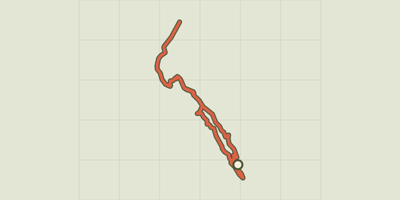 Plan IGN © IGN 2026Le Pic du Mas de La GraveÉcrins, La Grave (05) · Out and backOfficial rating by Parc national des Écrins
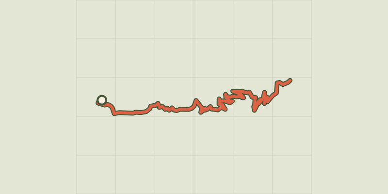 Plan IGN © IGN 2026Le PiolitÉcrins, Ancelle (05) · Out and backOfficial rating by Parc national des Écrins
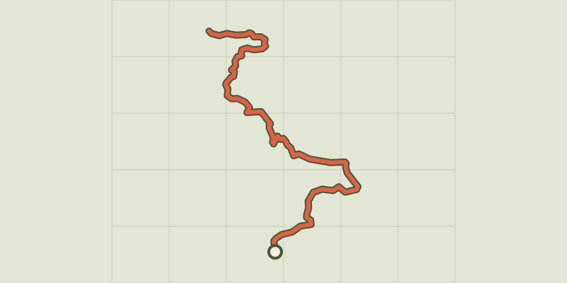 Plan IGN © IGN 2026Le Piolit via the Col de ChorgesProvence-Alpes-Côte d'Azur, Chorges (05) · Out and backOfficial rating by Parc national des Écrins