
The Pas de l'Olan

Key facts
- Distance
- 13.8 km
- Ascent
- +1,588 m
- Descent
- −1,561 m
- Estimated time
- 8 hr 15
- hiking
- Difficulty
- Difficult
- official rating
- Route
- Loop
- back to the start
Profile and gradient
- under 10%
- 10 to 20%
- over 20%
Gradient along the route: 0.3 km under 10%, 3.4 km at 10 to 20% and 10.0 km over 20%. Elevation from 1,107 m to 2,670 m over 13.8 km.
Surface and path types
- Surface
- Dirt & gravel 98%
- Unknown 2%
- Path types
- Trail 97%
- Track 1%
- Off-network 2%
Description
Striding along at the alpine level, this itinerary leads to a refuge then to the Pas de l'Olan (2695 m) where you can admire the landscape of this valley perched up high. A regular and sustained ascent leads hikers in the direction of the sky. The reward is a more and more vast panorama of the Valgaudemar valley and breathtaking views of the South West and South East faces of the Olan (3564 m), with the satellites of the Cime du Vallon (3409 m) and the pic de la Rouye (3085 m). The path starts with a few bends on the scree and continues by crossing a heathland of heather. The view of the Navette valley and Portes hamlet which faces it comes progressively in to view. Then you arrive at the mountainous level in the middle of alpine grasslands, where there is a view of the village de la Chapelle and the l'Olan refuge. A few steps from there is an old concrete slab which was witness to the passage of an avalanche in the 1950s. A visit to the refuge to meet the guardian and/or to have a small snack is always agreeable. The last part of the ascent can really be admired for its alpine character. The path leads on between old polished glaciers before finishing on the scree just in front of the Pas de l'Olan (2695 m). The field of view extends from the entrance to the valley, the Pic Turbat (3023 m) and in the distance the Dévoluy massif. To begin the descent on the other slope attention is required but there is no technical difficulty. The descent is carried out quite directly on the scree slopes to reach the Clot de Combe-Froide, ancient meadow land. At this point an intersection leads to a crossroads at Bourelle with the original path.
Difficulty
Official rating: difficult, by Parc national des Écrins.
Before you go
- Leave in the early morning because the hike is exposed to the South and represents a very steep climb. It is possible to break the hike overnight in the refuge. Crossing the Pas de l'Olan is to be avoided when it rains or if there is a risk of storms.
Getting there
Start: La Chapelle-en-Valgaudemar, La Chapelle-en-Valgaudémar (05).
Sources
- Track: Parc national des Écrins, Licence Ouverte 2.0, Licence Ouverte 2.0 (Etalab) (destination.ecrins-parcnational.fr/trek/903494-Le-Pas-de-l-Olan). Time estimated by GPX Path with the Mac app rule, breaks not included.
- Surface and path types: © OpenStreetMap contributors, ODbL, extract of 28 October 2026, matched to the track every 10 m (openstreetmap.org/copyright)
- Official elevation gain: 1,588 m, Parc national des Écrins
Nearby tracks

 Plan IGN © IGN 2026Les Oulles du DiableÉcrins, La Chapelle-en-Valgaudémar (05) · LoopOfficial rating by Parc national des Écrins
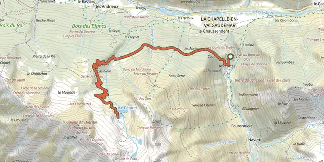 Plan IGN © IGN 2026The Pétarel Lakes via Les PortesÉcrins, La Chapelle-en-Valgaudémar (05) · Out and backOfficial rating by Parc national des Écrins
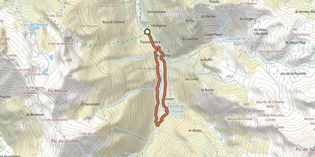 Plan IGN © IGN 2026Navette ValleyÉcrins, La Chapelle-en-Valgaudémar (05) · LoopOfficial rating by Parc national des Écrins
 Plan IGN © IGN 2026Pétarel Lakes by the AndrieuxÉcrins, La Chapelle-en-Valgaudémar (05) · Out and backOfficial rating by Parc national des Écrins
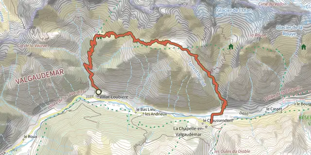 Plan IGN © IGN 2026From Villar-Loubière to La-Chapelle-en-ValgaudemarÉcrins, Villar-Loubière (05) · Point to pointOfficial rating by Parc national des Écrins
 Plan IGN © IGN 2026Valgaudemar refugesÉcrins, Villar-Loubière (05) · Point to pointOfficial rating by Parc national des Écrins