
MTB GPX tracks in Provence-Alpes-Côte d'Azur
135 GPX tracks in Provence-Alpes-Côte d'Azur, with distance, elevation gain and time for each track. Filter by department, sport, distance, elevation gain and time.
Departments in Provence-Alpes-Côte d'Azur
Filter the list below by department.
Regions
Pick a region on the map or below. Grey regions have no tracks yet.
Mountain ranges
Pick a mountain range on the map or below: all its tracks, whatever the region.
All GPX tracks in Provence-Alpes-Côte d'Azur


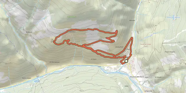
 Plan IGN © IGN 2026The Tirail on mountain bikeQueyras, Abriès-Ristolas (05) · LoopOfficial rating by Parcs naturels régionaux de Provence-Alpes-Côte d'Azur
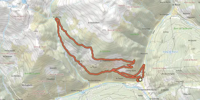 Plan IGN © IGN 2026The Bertins on mountain bikeQueyras, Abriès-Ristolas (05) · LoopOfficial rating by Parcs naturels régionaux de Provence-Alpes-Côte d'Azur
 Plan IGN © IGN 2026Marassan - la Bleue on mountain bikeQueyras, Aiguilles (05) · LoopOfficial rating by Parcs naturels régionaux de Provence-Alpes-Côte d'Azur
 Plan IGN © IGN 2026Andon - Plaine de CailleProvence-Alpes-Côte d'Azur, Andon (06) · LoopOfficial rating by Parcs naturels régionaux de Provence-Alpes-Côte d'Azur
 Plan IGN © IGN 2026Au fil de la RomancheÉcrins, La Grave (05) · Out and backOfficial rating by Parc national des Écrins
 Plan IGN © IGN 2026The Civadières with a Mountain bikeProvence-Alpes-Côte d'Azur, Aureille (13) · LoopOfficial rating by Parcs naturels régionaux de Provence-Alpes-Côte d'Azur
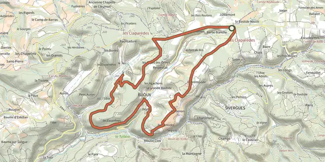 Plan IGN © IGN 2026The balconies of Aiguebrun by mountain bikeLuberon, Buoux (84) · LoopOfficial rating by Parcs naturels régionaux de Provence-Alpes-Côte d'Azur
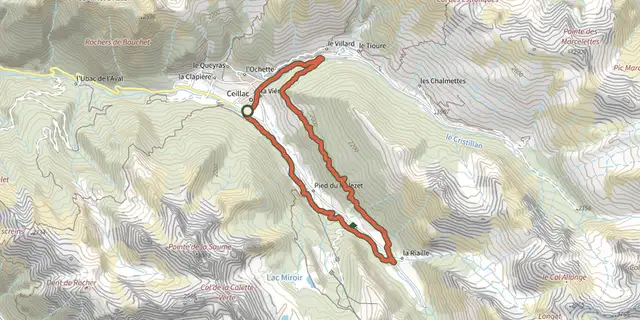 Plan IGN © IGN 2026Bois de Jalavez on mountain bikeQueyras, Ceillac (05) · LoopOfficial rating by Parcs naturels régionaux de Provence-Alpes-Côte d'Azur
 Plan IGN © IGN 2026Chanteloube mountain bike loopProvence-Alpes-Côte d'Azur, Chorges (05) · LoopOfficial rating by Parc national des Écrins
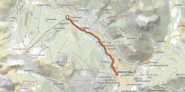 Plan IGN © IGN 2026Chantemerle - Briançon - Premier tronçon de la Via GuisaneProvence-Alpes-Côte d'Azur, Saint-Chaffrey (05) · Point to pointOfficial rating by Parc national des Écrins
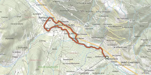 Plan IGN © IGN 2026Chantemerle - VilleneuveProvence-Alpes-Côte d'Azur, Saint-Chaffrey (05) · LoopOfficial rating by Parc national des Écrins
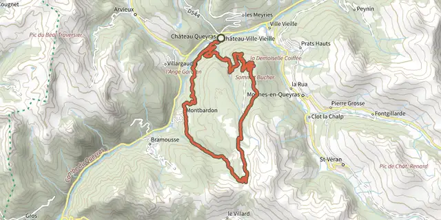 Plan IGN © IGN 2026Sommet Bucher on mountain bikeQueyras, Château-Ville-Vieille (05) · LoopOfficial rating by Parcs naturels régionaux de Provence-Alpes-Côte d'Azur
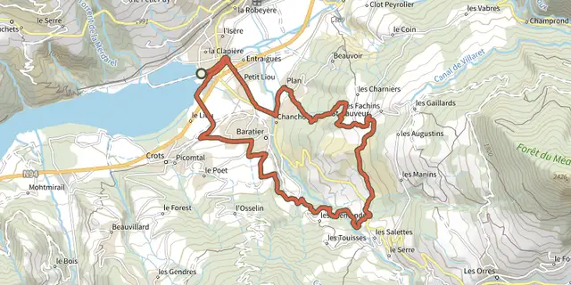 Plan IGN © IGN 2026The Saint Sauveur loopÉcrins, Embrun (05) · LoopOfficial rating by Parc national des Écrins
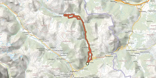 Plan IGN © IGN 2026Circuit des cadrans solaires de la Clarée en VAEProvence-Alpes-Côte d'Azur, Val-des-Prés (05) · Out and backOfficial rating by Parc national des Écrins
 Plan IGN © IGN 2026Clarée DuranceProvence-Alpes-Côte d'Azur, Val-des-Prés (05) · LoopOfficial rating by Parc national des Écrins
 Plan IGN © IGN 2026Clot BessonÉcrins, Crots (05) · LoopOfficial rating by Parc national des Écrins
 Plan IGN © IGN 2026Clot RollandProvence-Alpes-Côte d'Azur, Montgenèvre (05) · Point to pointOfficial rating by Parc national des Écrins
 Plan IGN © IGN 2026Col de ValbelleProvence-Alpes-Côte d'Azur, Saint-André-d'Embrun (05) · Out and backOfficial rating by Parc national des Écrins
 Plan IGN © IGN 2026Collongues - Circuit des MujoulsProvence-Alpes-Côte d'Azur, Collongues (06) · LoopOfficial rating by Parcs naturels régionaux de Provence-Alpes-Côte d'Azur
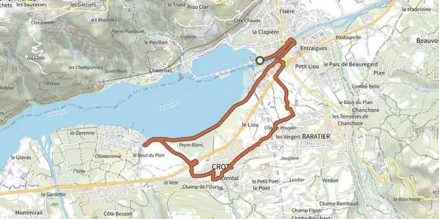 Plan IGN © IGN 2026Crots BeachÉcrins, Embrun (05) · LoopOfficial rating by Parc national des Écrins
 Plan IGN © IGN 2026De Chorges à la Baie Saint-Michel en VTT ou GravelProvence-Alpes-Côte d'Azur, Chorges (05) · Point to pointOfficial rating by Parc national des Écrins
 Plan IGN © IGN 2026Descente de la ClaréeProvence-Alpes-Côte d'Azur, Névache (05) · Point to pointOfficial rating by Parc national des Écrins
 Plan IGN © IGN 2026Descent from Les OrresProvence-Alpes-Côte d'Azur, Les Orres (05) · Point to pointOfficial rating by Parc national des Écrins
 Plan IGN © IGN 2026Descent from Les Orres via the County Town.Provence-Alpes-Côte d'Azur, Les Orres (05) · Point to pointOfficial rating by Parc national des Écrins