
GPX tracks in Provence-Alpes-Côte d'Azur (page 27)
1,146 GPX tracks in Provence-Alpes-Côte d'Azur, with distance, elevation gain and time for each track. Filter by department, sport, distance, elevation gain and time.
All GPX tracks in Provence-Alpes-Côte d'Azur


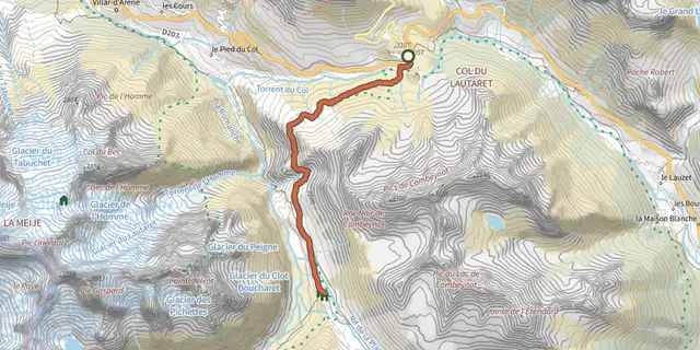
 Plan IGN © IGN 2026Le Plan de l'Alpe de Villar par le sentier des CrevassesÉcrins, Villar-d'Arêne (05) · Out and backOfficial rating by Parc national des Écrins

 Plan IGN © IGN 2026Le PlanparinProvence-Alpes-Côte d'Azur, Villar-Saint-Pancrace (05) · LoopOfficial rating by Parc national des Écrins
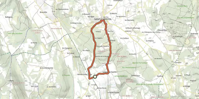 Plan IGN © IGN 2026Le plateau d’Albion et la chapelle Notre-Dame de LamaronMont Ventoux, Saint-Christol (84) · LoopOfficial rating by Parcs naturels régionaux de Provence-Alpes-Côte d'Azur
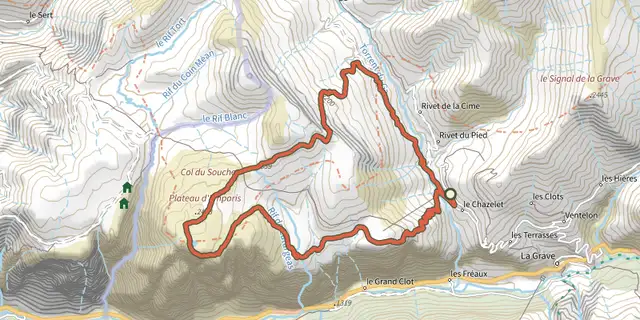 Plan IGN © IGN 2026Le plateau d'Emparis et ses lacs - lac noir et lac lériéÉcrins, La Grave (05) · LoopOfficial rating by Parc national des Écrins
 Plan IGN © IGN 2026Le Pré de l'AubreProvence-Alpes-Côte d'Azur, Chorges (05) · LoopOfficial rating by Parc national des Écrins
 Plan IGN © IGN 2026Le ravin des MerlesProvence-Alpes-Côte d'Azur, Puy-Saint-André (05) · LoopOfficial rating by Parc national des Écrins
 Plan IGN © IGN 2026The loop of Le RéalProvence-Alpes-Côte d'Azur, Crévoux (05) · LoopOfficial rating by Parc national des Écrins
 Plan IGN © IGN 2026Adèle Planchard RefugeÉcrins, Villar-d'Arêne (05) · Out and backOfficial rating by Parc national des Écrins
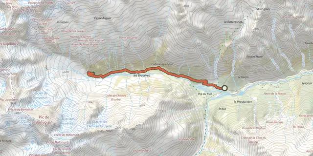 Plan IGN © IGN 2026Bans RefugeÉcrins, Vallouise-Pelvoux (05) · Out and backOfficial rating by Parc national des Écrins
 Plan IGN © IGN 2026The White GlacierÉcrins, Vallouise-Pelvoux (05) · Out and backOfficial rating by Parc national des Écrins
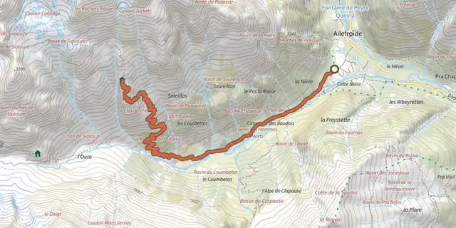 Plan IGN © IGN 2026Le refuge du PelvouxÉcrins, Vallouise-Pelvoux (05) · Out and backOfficial rating by Parc national des Écrins
 Plan IGN © IGN 2026Refuge at Chaumette meadowProvence-Alpes-Côte d'Azur, Champoléon (05) · LoopOfficial rating by Parc national des Écrins
 Plan IGN © IGN 2026Sélé RefugeÉcrins, Vallouise-Pelvoux (05) · Out and backOfficial rating by Parc national des Écrins
 Plan IGN © IGN 2026Tourond RefugeProvence-Alpes-Côte d'Azur, Champoléon (05) · Out and backOfficial rating by Parc national des Écrins
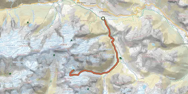 Plan IGN © IGN 2026Pavé lake and mountain refugeÉcrins, Villar-d'Arêne (05) · Out and backOfficial rating by Parc national des Écrins
 Plan IGN © IGN 2026Le refuge Évariste Chancel depuis La GraveÉcrins, La Grave (05) · Out and backOfficial rating by Parc national des Écrins
 Plan IGN © IGN 2026The Tuckett refugeÉcrins, Vallouise-Pelvoux (05) · Out and backOfficial rating by Parc national des Écrins
 Plan IGN © IGN 2026Le Rocher de l'OmbreProvence-Alpes-Côte d'Azur, Briançon (05) · LoopOfficial rating by Parc national des Écrins
 Plan IGN © IGN 2026Le Rocher de Roure par le Torrent de SachasProvence-Alpes-Côte d'Azur, Puy-Saint-André (05) · LoopOfficial rating by Parc national des Écrins
 Plan IGN © IGN 2026Le Rocher DiseurProvence-Alpes-Côte d'Azur, Montgenèvre (05) · Out and backOfficial rating by Parc national des Écrins
 Plan IGN © IGN 2026Le Saix - Boucle de ClausonneProvence-Alpes-Côte d'Azur, Le Saix (05) · LoopOfficial rating by Parcs naturels régionaux de Provence-Alpes-Côte d'Azur
 Plan IGN © IGN 2026The Saut du LaireÉcrins, Orcières (05) · Out and backOfficial rating by Parc national des Écrins
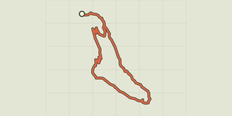 Plan IGN © IGN 2026Le Saut du Laire via le BassetÉcrins, Orcières (05) · LoopOfficial rating by Parc national des Écrins
 Plan IGN © IGN 2026 · track © OpenStreetMapLe Sentier BotaniqueVerdon, Esparron-de-Verdon (04) · Loop