
GPX tracks in Provence-Alpes-Côte d'Azur (page 25)
1,146 GPX tracks in Provence-Alpes-Côte d'Azur, with distance, elevation gain and time for each track. Filter by department, sport, distance, elevation gain and time.
All GPX tracks in Provence-Alpes-Côte d'Azur


 Plan IGN © IGN 2026Le Hameau du FontenilProvence-Alpes-Côte d'Azur, Briançon (05) · LoopOfficial rating by Parc national des Écrins
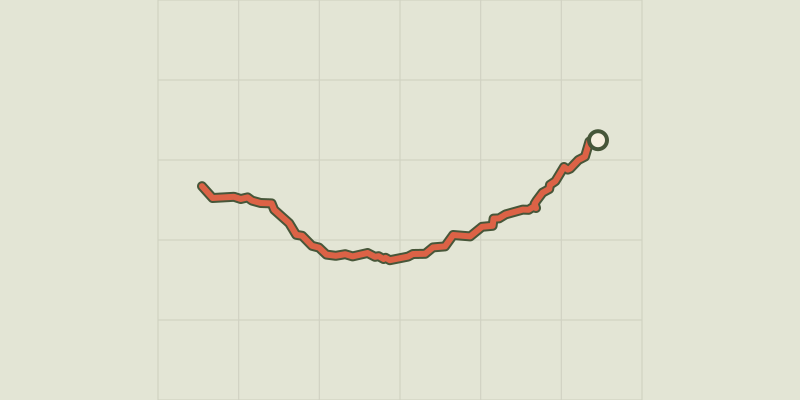
 Plan IGN © IGN 2026Combeynot LakeÉcrins, Le Monêtier-les-Bains (05) · Out and backOfficial rating by Parc national des Écrins
 Plan IGN © IGN 2026Eychauda LakeÉcrins, Vallouise-Pelvoux (05) · Out and backOfficial rating by Parc national des Écrins
 Plan IGN © IGN 2026Le Lac de l’OrceyretteProvence-Alpes-Côte d'Azur, Villar-Saint-Pancrace (05) · LoopOfficial rating by Parc national des Écrins
 Plan IGN © IGN 2026Lac de la DoucheÉcrins, Le Monêtier-les-Bains (05) · Out and backOfficial rating by Parc national des Écrins
 Plan IGN © IGN 2026Puy Aillaud LakeÉcrins, Vallouise-Pelvoux (05) · Out and backOfficial rating by Parc national des Écrins
 Plan IGN © IGN 2026Le lac de Puy Aillaud (depuis le hameau)Écrins, Vallouise-Pelvoux (05) · Out and backOfficial rating by Parc national des Écrins
 Plan IGN © IGN 2026Le lac de Saint-ApollinaireÉcrins, Saint-Apollinaire (05) · LoopOfficial rating by Parc national des Écrins
 Plan IGN © IGN 2026Le lac de VallonpierreÉcrins, La Chapelle-en-Valgaudémar (05) · Out and backOfficial rating by Parc national des Écrins
 Plan IGN © IGN 2026Le lac des Cordes depuis les ChalpsProvence-Alpes-Côte d'Azur, Cervières (05) · Out and backOfficial rating by Parc national des Écrins
 Plan IGN © IGN 2026 · track © OpenStreetMapLe lac des Estaris depuis le sommet du DrouvetÉcrins, Orcières (05) · Point to point
 Plan IGN © IGN 2026Lac des PissesÉcrins, Orcières (05) · Out and backOfficial rating by Parc national des Écrins
 Plan IGN © IGN 2026Lake DistroitÉcrins, Châteauroux-les-Alpes (05) · Out and backOfficial rating by Parc national des Écrins
 Plan IGN © IGN 2026Le lac du FangeasÉcrins, Freissinières (05) · Out and backOfficial rating by Parc national des Écrins
 Plan IGN © IGN 2026Le lac du Goléon depuis les TerrassesÉcrins, La Grave (05) · Out and backOfficial rating by Parc national des Écrins
 Plan IGN © IGN 2026 · track © OpenStreetMapLe Lac du Goléon par le Cruq des AiguillesÉcrins, La Grave (05) · Loop
 Plan IGN © IGN 2026Le Lac du Goléon par le Cruq des AiguillesÉcrins, La Grave (05) · LoopOfficial rating by Parc national des Écrins
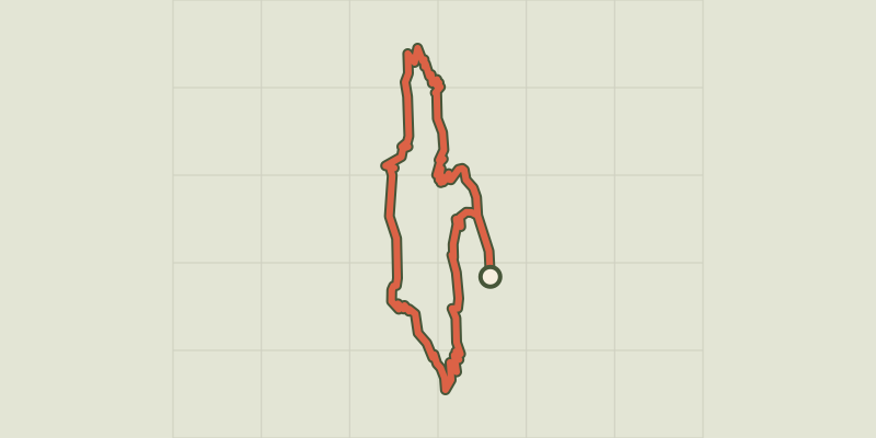 Plan IGN © IGN 2026Lauzon LakeÉcrins, La Chapelle-en-Valgaudémar (05) · LoopOfficial rating by Parc national des Écrins
 Plan IGN © IGN 2026Le Lac LaramonProvence-Alpes-Côte d'Azur, Névache (05) · Out and backOfficial rating by Parc national des Écrins
 Plan IGN © IGN 2026Le Lac VertProvence-Alpes-Côte d'Azur, Névache (05) · Out and backOfficial rating by Parc national des Écrins
 Plan IGN © IGN 2026Le chemin de NapoléonVerdon, La Martre (83) · Out and backOfficial rating by Parcs naturels régionaux de Provence-Alpes-Côte d'Azur
 Plan IGN © IGN 2026Tour de l'Artuby - 5 par Le Logis du PinVerdon, La Martre (83) · Point to pointOfficial rating by Parcs naturels régionaux de Provence-Alpes-Côte d'Azur
 Plan IGN © IGN 2026 · track © OpenStreetMapLe Malpey (bleu)Provence-Alpes-Côte d'Azur, Fréjus (83) · Point to point
 Plan IGN © IGN 2026 · track © OpenStreetMapLe Malpey (jaune)Provence-Alpes-Côte d'Azur, Fréjus (83) · Point to point