
Lac des Pisses

Key facts
- Distance
- 13.7 km
- Ascent
- +1,000 m
- Descent
- −977 m
- Estimated time
- 5 hr 45
- hiking
- Difficulty
- Moderate
- official rating
- Route
- Out and back
- same way back
Profile and gradient
- under 10%
- 10 to 20%
- over 20%
Gradient along the route: 3.4 km under 10%, 8.2 km at 10 to 20% and 2.1 km over 20%. Elevation from 1,533 m to 2,502 m over 13.7 km.
Description
Shaped by pastoral activity, the Pisses valley has for generations been the summer residence of ewes and their shepherds. This winding trail overlooks the Prapic valley and runs as far as Lac des Pisses, in a rocky high-altitude atmosphere. It crosses several torrents and is a chance to enjoy the refreshing waterfalls. From Place de Prapic, head up towards the stopover gîte, then turn left. A wide path crosses the fileds, then goes up the Blaisil valley. You pass by the Tombeau du Poète path. At the second crossroads, continue along the route to the right as far as Lac des Pisses. You follow the same route on the way back.
Difficulty
Official rating: moderate, by Parc national des Écrins.
Getting there
Start: Prapic, Orcières, Orcières (05).
Sources
- Track: Parc national des Écrins, Licence Ouverte 2.0, Licence Ouverte 2.0 (Etalab) (destination.ecrins-parcnational.fr/trek/904201-Le-lac-des-Pisses). Time estimated by GPX Path with the Mac app rule, breaks not included.
- Official elevation gain: 1,000 m, Parc national des Écrins
Nearby tracks

 Plan IGN © IGN 2026The Saut du LaireÉcrins, Orcières (05) · Out and backOfficial rating by Parc national des Écrins
 Plan IGN © IGN 2026The Poet’s tombÉcrins, Orcières (05) · Out and backOfficial rating by Parc national des Écrins
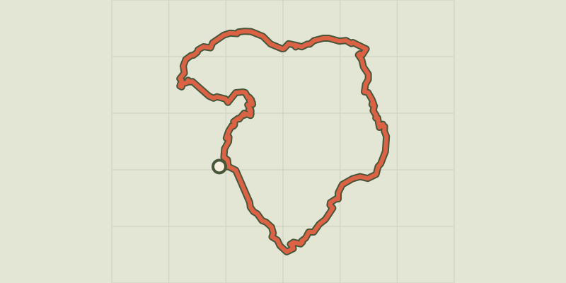 Plan IGN © IGN 2026Tour du Grand PinierÉcrins, Orcières (05) · Point to pointOfficial rating by Parc national des Écrins
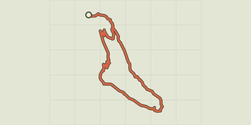 Plan IGN © IGN 2026Le Saut du Laire via le BassetÉcrins, Orcières (05) · LoopOfficial rating by Parc national des Écrins
 Plan IGN © IGN 2026Col des Terres Blanches from PrapicÉcrins, Orcières (05) · Out and backOfficial rating by Parc national des Écrins
 Plan IGN © IGN 2026From the Drouvet summit to PrapicÉcrins, Orcières (05) · Point to pointOfficial rating by Parc national des Écrins