
Le chemin de Napoléon

Key facts
- Distance
- 9.6 km
- Ascent
- +184 m
- Descent
- −148 m
- Estimated time
- 2 hr 25
- hiking
- Difficulty
- Very easy
- official rating
- Route
- Out and back
- same way back
Profile and gradient
- under 10%
- 10 to 20%
- over 20%
Gradient along the route: 9.1 km under 10% and 0.5 km at 10 to 20%. Elevation from 975 m to 1,058 m over 9.6 km.
Description
Difficulty
Official rating: very easy, by Parcs naturels régionaux de Provence-Alpes-Côte d'Azur.
Getting there
Start: Depuis le Logis du Pin, La Martre (83).
Sources
- Track: Parcs naturels régionaux de Provence-Alpes-Côte d'Azur (Chemins des Parcs), Licence Ouverte 2.0, Licence Ouverte 2.0 (Etalab) (www.cheminsdesparcs.fr/trek/95169-LE-LOGIS-DU-PIN---LA-MARTRE---Le-chemin-de-Napoleon). Time estimated by GPX Path with the Mac app rule, breaks not included.
- Official elevation gain: 184 m, Parcs naturels régionaux de Provence-Alpes-Côte d'Azur
Nearby tracks

 Plan IGN © IGN 2026Tour de l'Artuby - 5 par Le Logis du PinVerdon, La Martre (83) · Point to pointOfficial rating by Parcs naturels régionaux de Provence-Alpes-Côte d'Azur
 Plan IGN © IGN 2026La Martre - L'AvelanierVerdon, La Martre (83) · LoopOfficial rating by Parcs naturels régionaux de Provence-Alpes-Côte d'Azur
 Plan IGN © IGN 2026A round-trip to PeyroulesVerdon, Peyroules (04) · LoopOfficial rating by Parcs naturels régionaux de Provence-Alpes-Côte d'Azur
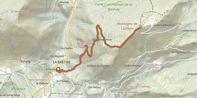 Plan IGN © IGN 2026The peak of the Lachens MountainVerdon, La Bastide (83) · Out and backOfficial rating by Parcs naturels régionaux de Provence-Alpes-Côte d'Azur
 Plan IGN © IGN 2026Chateauvieux - La boucle Chateauvieux - La MartreVerdon, Châteauvieux (83) · LoopOfficial rating by Parcs naturels régionaux de Provence-Alpes-Côte d'Azur
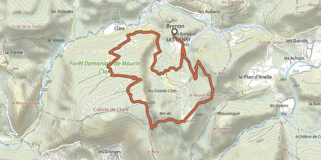 Plan IGN © IGN 2026Brenon - Le sommet de ClareVerdon, Brenon (83) · LoopOfficial rating by Parcs naturels régionaux de Provence-Alpes-Côte d'Azur