
Hiking GPX tracks in Provence-Alpes-Côte d'Azur (page 18)
842 GPX tracks in Provence-Alpes-Côte d'Azur, with distance, elevation gain and time for each track. Filter by department, sport, distance, elevation gain and time.
All GPX tracks in Provence-Alpes-Côte d'Azur


 Plan IGN © IGN 2026Le Clot de l'AigueProvence-Alpes-Côte d'Azur, Saint-Sauveur (05) · LoopOfficial rating by Parc national des Écrins
 Plan IGN © IGN 2026Le col de FreissinièresÉcrins, Freissinières (05) · Out and backOfficial rating by Parc national des Écrins
 Plan IGN © IGN 2026Le col de la Vallée EtroiteProvence-Alpes-Côte d'Azur, Névache (05) · Out and backOfficial rating by Parc national des Écrins
 Plan IGN © IGN 2026Laurichard Mountain PassÉcrins, Villar-d'Arêne (05) · Out and backOfficial rating by Parc national des Écrins
 Plan IGN © IGN 2026 · track © OpenStreetMapLe Col de Martignare et la Crête de la BuffeÉcrins, La Grave (05) · Loop
 Plan IGN © IGN 2026Le col de VallonpierreÉcrins, La Chapelle-en-Valgaudémar (05) · Out and backOfficial rating by Parc national des Écrins
 Plan IGN © IGN 2026Le Col des AyesProvence-Alpes-Côte d'Azur, Villar-Saint-Pancrace (05) · Out and backOfficial rating by Parc national des Écrins
 Plan IGN © IGN 2026Le col des PeygusProvence-Alpes-Côte d'Azur, Cervières (05) · Out and backOfficial rating by Parc national des Écrins
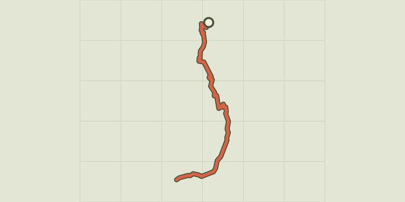 Plan IGN © IGN 2026Le Col des Terres Blanches from DormillouseÉcrins, Freissinières (05) · Out and backOfficial rating by Parc national des Écrins
 Plan IGN © IGN 2026Col des Terres Blanches from PrapicÉcrins, Orcières (05) · Out and backOfficial rating by Parc national des Écrins
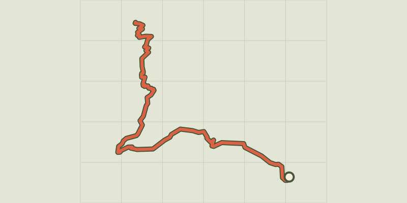 Plan IGN © IGN 2026Tourettes Mountain PassÉcrins, Châteauroux-les-Alpes (05) · Out and backOfficial rating by Parc national des Écrins
 Plan IGN © IGN 2026Le Col du ChardonnetProvence-Alpes-Côte d'Azur, Névache (05) · Out and backOfficial rating by Parc national des Écrins
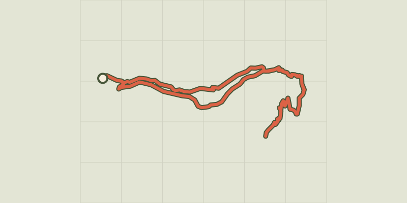 Plan IGN © IGN 2026Col du Cheval de BoisÉcrins, Champoléon (05) · LoopOfficial rating by Parc national des Écrins
 Plan IGN © IGN 2026Le col du Granon par les TronchetsProvence-Alpes-Côte d'Azur, Saint-Chaffrey (05) · LoopOfficial rating by Parc national des Écrins
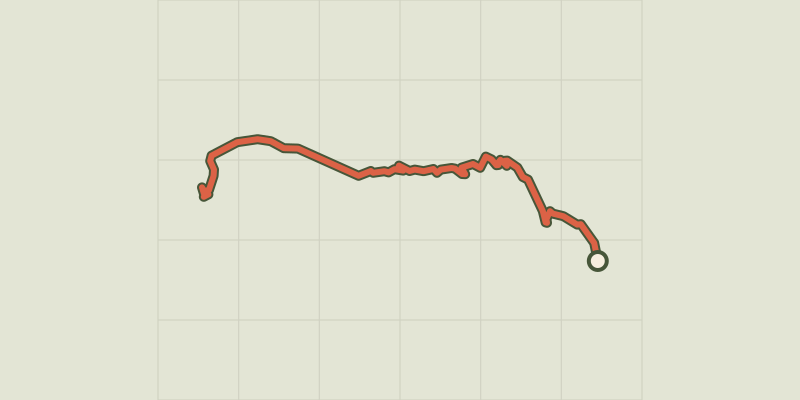 Plan IGN © IGN 2026Le col du Granon par Val-des-PrésProvence-Alpes-Côte d'Azur, Val-des-Prés (05) · Out and backOfficial rating by Parc national des Écrins
 Plan IGN © IGN 2026Le CuchonÉcrins, Saint-Léger-les-Mélèzes (05) · Out and backOfficial rating by Parc national des Écrins
 Plan IGN © IGN 2026 · track © OpenStreetMapLe fort de NiolonProvence-Alpes-Côte d'Azur, Le Rove (13) · Loop
 Plan IGN © IGN 2026Le fort des Salettes depuis La VachetteProvence-Alpes-Côte d'Azur, Val-des-Prés (05) · Out and backOfficial rating by Parc national des Écrins
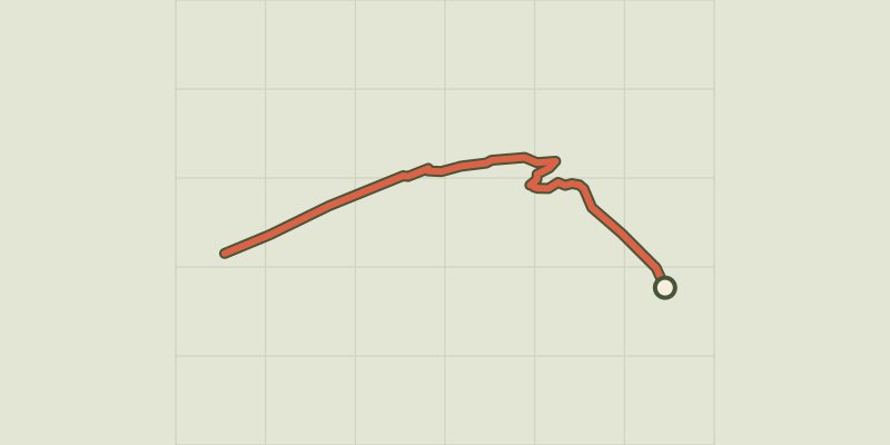 Plan IGN © IGN 2026Le glacier NoirÉcrins, Vallouise-Pelvoux (05) · Out and backOfficial rating by Parc national des Écrins
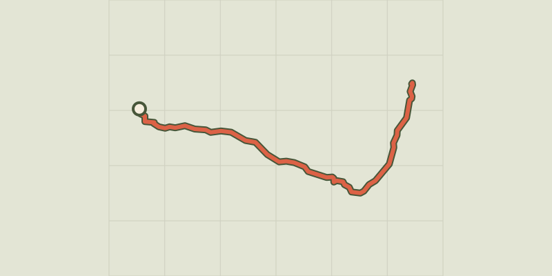 Plan IGN © IGN 2026Le Grand Glaiza - Punta MerciantairaProvence-Alpes-Côte d'Azur, Cervières (05) · Out and backOfficial rating by Parc national des Écrins
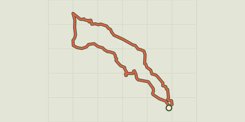 Plan IGN © IGN 2026The hamlet of VaucluseÉcrins, Réallon (05) · LoopOfficial rating by Parc national des Écrins
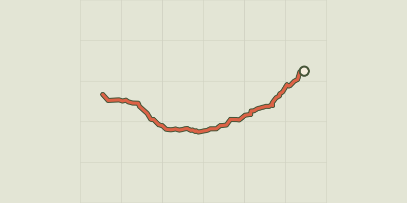 Plan IGN © IGN 2026Combeynot LakeÉcrins, Le Monêtier-les-Bains (05) · Out and backOfficial rating by Parc national des Écrins
 Plan IGN © IGN 2026Eychauda LakeÉcrins, Vallouise-Pelvoux (05) · Out and backOfficial rating by Parc national des Écrins
 Plan IGN © IGN 2026Le Lac de l’OrceyretteProvence-Alpes-Côte d'Azur, Villar-Saint-Pancrace (05) · LoopOfficial rating by Parc national des Écrins