
Col des Terres Blanches from Prapic

Key facts
- Distance
- 21.9 km
- Ascent
- +1,307 m
- Descent
- −1,203 m
- Estimated time
- 7 hr 35
- hiking
- Difficulty
- Difficult
- official rating
- Route
- Out and back
- same way back
Profile and gradient
- under 10%
- 10 to 20%
- over 20%
Gradient along the route: 9.4 km under 10%, 12.0 km at 10 to 20% and 0.5 km over 20%. Elevation from 1,529 m to 2,716 m over 21.9 km.
Description
The name of this site keeps its promise! The final surprise is greater because the suspense is kept right until the end. Magic and enchantment in a lunar landscape "Oh! What dirty pigs!" They have left their empty bottle in this supernatural setting! I get closer to pick it up, but a few metres away I realise my mistake. It is not a bottle but a mountain hare! It relies on its motionlessness to blend into the background. I saw you! Fold your ears back next time!" Michel Francou, warden in the Champsaur area From the Prapic car park head up towards the hostels. At the fork in the road (sign) go right. The track runs up along the right bank of the Drac to reach the Charnières plateau. At the oratory, go left to cross the plateau. Walk up the bends that lead to the Saulce chapel. Stay on the right bank until you reach the Saut du Laire footbridge that leads to the valley of the same name. From there, cross the first bridge of the gorges, then the second one 100 m upstream. The path continues to the right towards the Barre de la Cabane. Then the valley skirts up to the left avoiding the Barre de la Cabane. The Barre mountain hut is visible from the bottom of the pasture, leave it on the left hand side and continue until you reach an intermediary plateau. The path continues its way through the pastures until it splits in two: do not follow the right-hand route but follow a long pathway across the slope. Cross the stream and continue to climb until you reach the pass and keep your eyes peeled! No, this a not a hallucination due to lack of oxygen, welcome to the Terres Blanches pass. The return trip is made using the same itinerary in the opposite direction.
Difficulty
Official rating: difficult, by Parc national des Écrins.
Before you go
- Flocks of sheep may be guarded by dogs. Some may be good-natured but others less so. Keep calm and keep your distance.
Getting there
Start: Prapic, Orcières (05).
Sources
- Track: Parc national des Écrins, Licence Ouverte 2.0, Licence Ouverte 2.0 (Etalab) (destination.ecrins-parcnational.fr/trek/904205-Le-col-des-Terres-Blanches-depuis-Prapic). Time estimated by GPX Path with the Mac app rule, breaks not included.
- Official elevation gain: 1,307 m, Parc national des Écrins
Nearby tracks

 Plan IGN © IGN 2026Lac des PissesÉcrins, Orcières (05) · Out and backOfficial rating by Parc national des Écrins
 Plan IGN © IGN 2026The Saut du LaireÉcrins, Orcières (05) · Out and backOfficial rating by Parc national des Écrins
 Plan IGN © IGN 2026The Poet’s tombÉcrins, Orcières (05) · Out and backOfficial rating by Parc national des Écrins
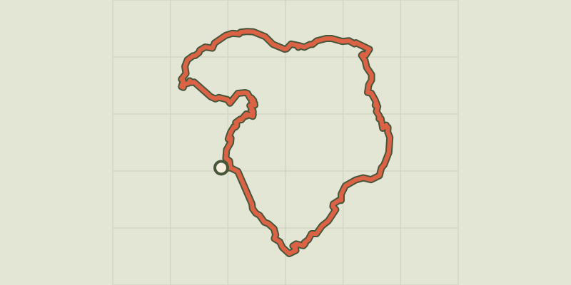 Plan IGN © IGN 2026Tour du Grand PinierÉcrins, Orcières (05) · Point to pointOfficial rating by Parc national des Écrins
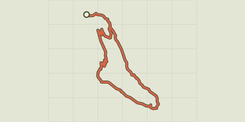 Plan IGN © IGN 2026Le Saut du Laire via le BassetÉcrins, Orcières (05) · LoopOfficial rating by Parc national des Écrins
 Plan IGN © IGN 2026From the Drouvet summit to PrapicÉcrins, Orcières (05) · Point to pointOfficial rating by Parc national des Écrins