
Laurichard Mountain Pass

Key facts
- Distance
- 5.8 km
- Ascent
- +601 m
- Descent
- −588 m
- Estimated time
- 3 hr 10
- hiking
- Difficulty
- Moderate
- official rating
- Route
- Out and back
- same way back
Profile and gradient
- under 10%
- 10 to 20%
- over 20%
Gradient along the route: 0.6 km under 10%, 2.3 km at 10 to 20% and 2.9 km over 20%. Elevation from 2,038 m to 2,633 m over 5.8 km.
Description
Permafrost and rock glacier... a hike in the land of cold pebbles. On the track, at an altitude of about 2500 m, look about! In the South/South East direction you can see at the foot of the Western peak of the Combeynot four white spheres (about 35 cm in diameter)... they are the landmarks enabling scientists to measure the evolution of the rock glacier at Laurichard. Leave the car park at the foot of Serre Orel to start the ascent in the direction of the Combe de Laurichard. Do not hesitate to look at the signs in the car park, marked « porte du parc national des Ecrins ». 250 m after the car park, the track divides into tow: stay on the one that goes up towards Laurichard and leave to your right the « track for the interpretation of crevasses ». The slope accentuates progressively up to the entrance of the Combe de Laurichard (alt. 2300 m), mineral world ‘par excellence’. The path follows its route at the foot of the South-East face of the pyramid of Laurichard and looks up at the imposing Northern faces, somber and austere, the summits at Combeynot (black rock of Combeynot and the West peak of Combeynot). It is at the foot of these two mineral giants that the Laurichard rock glacier is found with its permafrost, the soil is permanently frozen, but for how much longer, due to global warming? - Continue the ascent to reach Laurichard mountain pass, the panorama embraces the entire Meije massif and the surrounding summits (pic Gaspard, pointe Nérot, Bec de l’Homme,). For the descent, use the same itinerary in the opposite direction.
Difficulty
Official rating: moderate, by Parc national des Écrins.
Before you go
- Put a top in your bag; the weather changes so quickly at these altitudes.
Getting there
Start: Col du Lautaret, Villar-d'Arêne (05).
Sources
- Track: Parc national des Écrins, Licence Ouverte 2.0, Licence Ouverte 2.0 (Etalab) (destination.ecrins-parcnational.fr/trek/903291-Le-col-de-Laurichard). Time estimated by GPX Path with the Mac app rule, breaks not included.
- Official elevation gain: 601 m, Parc national des Écrins
Nearby tracks

 Plan IGN © IGN 2026The Arsine corrie via the Crevasses pathÉcrins, Villar-d'Arêne (05) · Out and backOfficial rating by Parc national des Écrins
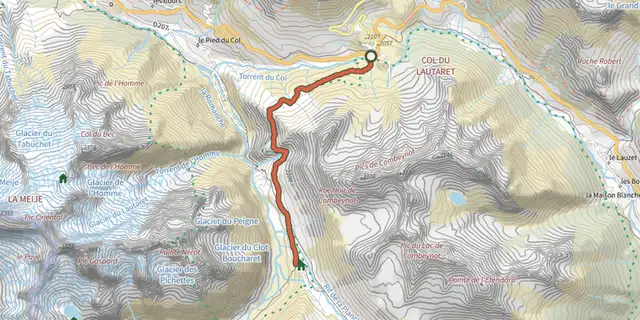 Plan IGN © IGN 2026Crossing from Lautaret to Alpe de VillarÉcrins, Villar-d'Arêne (05) · Out and backOfficial rating by Parc national des Écrins
 Plan IGN © IGN 2026Le Belvédère de l'hommeÉcrins, Villar-d'Arêne (05) · Out and backOfficial rating by Parc national des Écrins
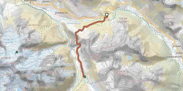 Plan IGN © IGN 2026Le Plan de l'Alpe de Villar par le sentier des CrevassesÉcrins, Villar-d'Arêne (05) · Out and backOfficial rating by Parc national des Écrins
 Plan IGN © IGN 2026Tour of the Combeynot Peaks in three daysÉcrins, Le Monêtier-les-Bains (05) · Point to pointOfficial rating by Parc national des Écrins
 Plan IGN © IGN 20264-day Tour du CombeynotÉcrins, Le Monêtier-les-Bains (05) · Point to pointOfficial rating by Parc national des Écrins