
The hamlet of Vaucluse

Key facts
- Distance
- 7.8 km
- Ascent
- +295 m
- Descent
- −274 m
- Estimated time
- 2 hr 20
- hiking ; trail running : 1 hr 05
- Difficulty
- Easy
- official rating
- Route
- Loop
- back to the start
Profile and gradient
- under 10%
- 10 to 20%
- over 20%
Gradient along the route: 5.7 km under 10% and 2.1 km at 10 to 20%. Elevation from 1,557 m to 1,798 m over 7.8 km.
Surface and path types
- Surface
- Paved 5%
- Dirt & gravel 94%
- Unknown 1%
- Path types
- Trail 54%
- Track 40%
- Road 5%
- Off-network 1%
Description
- From the main car park, drive along the resort's snow line, taking the wide track up to the ski slopes, near the Courtier ski lift. Cross the Aigue Noire ski lift, climb up to the mountain reserve (small artificial lake) and then to "Font Guillarde". - At the crossroads, turn right following the blue markings. Near a sheepfold, leave the wide track for a much wilder path (there are still blue markings). After a short descent, you reach the Font Renarde hut. From the hut, continue north. - At the next crossroads, turn right towards Vaucluse. Join the GR®50, which you take to the right, heading south-east. Stay on this GR® named "Sentier Panoramique". (Panoramic route) Leave the GR® and turn right onto a path that leads back to the resort and then to the car park.
Difficulty
Official rating: easy, by Parc national des Écrins.
Getting there
Start: Station de Réallon, Réallon, Réallon (05).
Sources
- Track: Parc national des Écrins, Licence Ouverte 2.0, Licence Ouverte 2.0 (Etalab) (destination.ecrins-parcnational.fr/trek/995713-Le-hameau-de-Vaucluse). Time estimated by GPX Path with the Mac app rule, breaks not included.
- Surface and path types: © OpenStreetMap contributors, ODbL, extract of 28 October 2026, matched to the track every 10 m (openstreetmap.org/copyright)
- Official elevation gain: 295 m, Parc national des Écrins
Nearby tracks
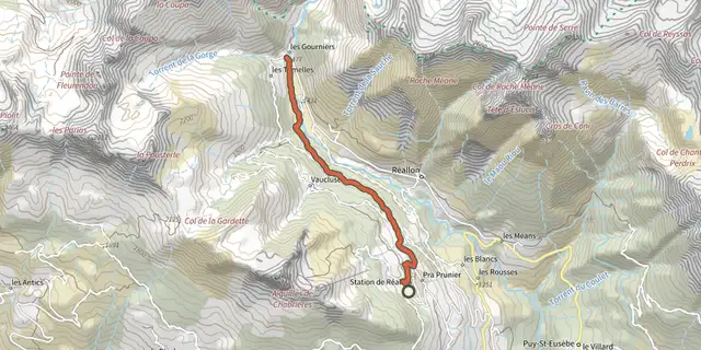
 Plan IGN © IGN 2026Hamlet of GourniersÉcrins, Réallon (05) · Point to pointOfficial rating by Parc national des Écrins
 Plan IGN © IGN 2026Le Peuple des OiseauxÉcrins, Réallon (05) · LoopOfficial rating by Parc national des Écrins
 Plan IGN © IGN 2026Serre du MoutonÉcrins, Réallon (05) · Out and backOfficial rating by Parc national des Écrins
 Plan IGN © IGN 2026Saint-Apollinaire lakeÉcrins, Réallon (05) · LoopOfficial rating by Parc national des Écrins
 Plan IGN © IGN 2026Aiguilles de ChabrièresÉcrins, Réallon (05) · LoopOfficial rating by Parc national des Écrins
 Plan IGN © IGN 2026JoubelleÉcrins, Réallon (05) · Out and backOfficial rating by Parc national des Écrins