
Le Rocher de l'Ombre

Key facts
- Distance
- 5.6 km
- Ascent
- +258 m
- Descent
- −246 m
- Estimated time
- 1 hr 45
- hiking ; trail running : 50 min
- Difficulty
- Moderate
- official rating
- Route
- Loop
- back to the start
Profile and gradient
- under 10%
- 10 to 20%
- over 20%
Gradient along the route: 3.7 km under 10%, 1.5 km at 10 to 20% and 0.4 km over 20%. Elevation from 1,265 m to 1,515 m over 5.6 km.
Surface and path types
- Surface
- Paved 47%
- Dirt & gravel 52%
- Unknown 1%
- Path types
- Trail 33%
- Track 20%
- Road 47%
Description
Un joli parcours entre Briançon et la Clarée avec une connexion à l'Espace Trail de Montgenèvre. Traversé de la Cité Vauban dans les derniers efforts. Depuis les abords de la cité Vauban dont les fortifications sont inscrites au patrimoine mondial de l’Unesco découvrez un parcours au coeur de la forêt et des fortifications qui jalonnent le secteur.
Difficulty
Official rating: moderate, by Parc national des Écrins.
Getting there
Start: Parking du Champ de Mars, Briançon, Briançon (05).
Sources
- Track: Parc national des Écrins, Licence Ouverte 2.0, Licence Ouverte 2.0 (Etalab) (destination.ecrins-parcnational.fr/trek/995168-Le-Rocher-de-l-Ombre). Time estimated by GPX Path with the Mac app rule, breaks not included.
- Surface and path types: © OpenStreetMap contributors, ODbL, extract of 28 October 2026, matched to the track every 10 m (openstreetmap.org/copyright)
- Official elevation gain: 258 m, Parc national des Écrins
Nearby tracks

 Plan IGN © IGN 2026La Croix de Toulouse (trail)Provence-Alpes-Côte d'Azur, Briançon (05) · LoopOfficial rating by Parc national des Écrins
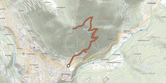
 Plan IGN © IGN 2026La Croix de ToulouseProvence-Alpes-Côte d'Azur, Briançon (05) · Out and backOfficial rating by Parc national des Écrins
 Plan IGN © IGN 2026Le fort de l'InfernetProvence-Alpes-Côte d'Azur, Briançon (05) · LoopOfficial rating by Parc national des Écrins
 Plan IGN © IGN 2026La Via GuisaneProvence-Alpes-Côte d'Azur, Briançon (05) · LoopOfficial rating by Parc national des Écrins
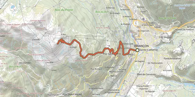 Plan IGN © IGN 2026KM vertical de Notre Dame des Neiges par les oratoiresProvence-Alpes-Côte d'Azur, Briançon (05) · Out and backOfficial rating by Parc national des Écrins
 Plan IGN © IGN 2026Notre-Dame des Neiges et ses oratoiresProvence-Alpes-Côte d'Azur, Puy-Saint-Pierre (05) · LoopOfficial rating by Parc national des Écrins