
The Civadières with a Mountain bike

Key facts
- Distance
- 15.4 km
- Ascent
- +344 m
- Descent
- −277 m
- Estimated time
- 1 hr 40
- mtb
- Difficulty
- Easy
- official rating
- Route
- Loop
- back to the start
Profile and gradient
- under 10%
- 10 to 20%
- over 20%
Gradient along the route: 15.4 km under 10%. Elevation from 128 m to 267 m over 15.4 km.
Surface and path types
- Surface
- Paved 25%
- Dirt & gravel 74%
- Unknown 1%
- Path types
- Trail 11%
- Track 63%
- Road 25%
- Off-network 1%
Description
Take a step back on the emblematic reliefs of the Alpilles thanks to this walk accessible to all and full of sensations! Leave Aureille, a typical Provencal village between Alpilles and Crau, then climb into the heart of the massif and flirt with its limestone landscapes. La Caume, Calans, Opies and of course the Civadières ... so many reliefs to admire, to have the full view! From the parking, return on the D25a. Take it on the right towards Eygalières and turn left on the Estandedou road. At the intersection stay on the right, Saint-Jean path, until the end of the houses 1- Follow the GR® on the right. Take the path on the left at the junction and continue for 4 km until the D24 road, leaving on the sides the paths encountered. 2- Cross the D24 and take a path that goes right up to a collar Go past a wide path that goes to the left and take a path down and parallel to the road. 3- Go up on the D24, pass the small stone bridge and in the bend take the path on the right. At the next crossroads, stay to the left. Just after, climb left and pass a barrier. 4- Continue on this path to another barrier. There, turn left to join the D25a. Get off on the road until after the rocky bars and take the first path on the left. 5- Walk along the fence and the olive trees to a stool. Continue, then at the next junction, turn right twice. Pass an oratory, take the D25a on the left and join Aureille and the starting point.
Difficulty
Official rating: easy, by Parcs naturels régionaux de Provence-Alpes-Côte d'Azur.
Before you go
- For your safety, and for the preservation of forest areas, access to natural areas is regulated from June to September. Inquire during the summer period on 08 11 20 13 13 (price of a local call) or on www.bouches-du-rhone.pref.gouv.fr Download the application for free MYPROVENCE ENVIE DE BALADE (available on Appstore and Android Market).
Getting there
Start: Parking du stade, Aureille, Aureille (13).
Sources
- Track: Parcs naturels régionaux de Provence-Alpes-Côte d'Azur (Chemins des Parcs), Licence Ouverte 2.0, Licence Ouverte 2.0 (Etalab) (www.cheminsdesparcs.fr/trek/60127-AUREILLE---Les-Civadieres-a-VTT). Time estimated by GPX Path with the Mac app rule, breaks not included.
- Surface and path types: © OpenStreetMap contributors, ODbL, extract of 28 October 2026, matched to the track every 10 m (openstreetmap.org/copyright)
- Official elevation gain: 344 m, Parcs naturels régionaux de Provence-Alpes-Côte d'Azur
Nearby tracks
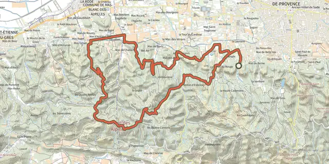
 Plan IGN © IGN 2026Saint Remy de Provence - Valampe et les Cascades en VTTProvence-Alpes-Côte d'Azur, Saint-Rémy-de-Provence (13) · LoopOfficial rating by Parcs naturels régionaux de Provence-Alpes-Côte d'Azur
 Plan IGN © IGN 2026TARASCON, La forêt méditerranéenne à VTTProvence-Alpes-Côte d'Azur, Tarascon (13) · LoopOfficial rating by Parcs naturels régionaux de Provence-Alpes-Côte d'Azur
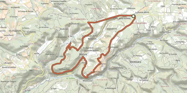 Plan IGN © IGN 2026The balconies of Aiguebrun by mountain bikeLuberon, Buoux (84) · LoopOfficial rating by Parcs naturels régionaux de Provence-Alpes-Côte d'Azur
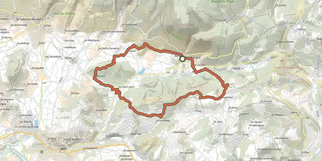 Plan IGN © IGN 2026Colorado tour by mountain bikeLuberon, Rustrel (84) · LoopOfficial rating by Parcs naturels régionaux de Provence-Alpes-Côte d'Azur
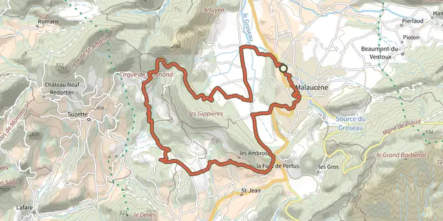 Plan IGN © IGN 2026Malaucene - Le tour des Abbayes à VTTMont Ventoux, Malaucène (84) · LoopOfficial rating by Parcs naturels régionaux de Provence-Alpes-Côte d'Azur
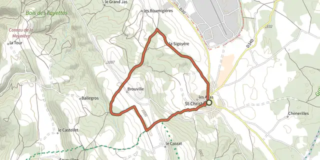 Plan IGN © IGN 2026Saint-Christol d'Albion - Les lavandes de Ballagros à VTTMont Ventoux, Saint-Christol (84) · LoopOfficial rating by Parcs naturels régionaux de Provence-Alpes-Côte d'Azur