
Hiking GPX tracks in Provence-Alpes-Côte d'Azur (page 7)
842 GPX tracks in Provence-Alpes-Côte d'Azur, with distance, elevation gain and time for each track. Filter by department, sport, distance, elevation gain and time.
All GPX tracks in Provence-Alpes-Côte d'Azur


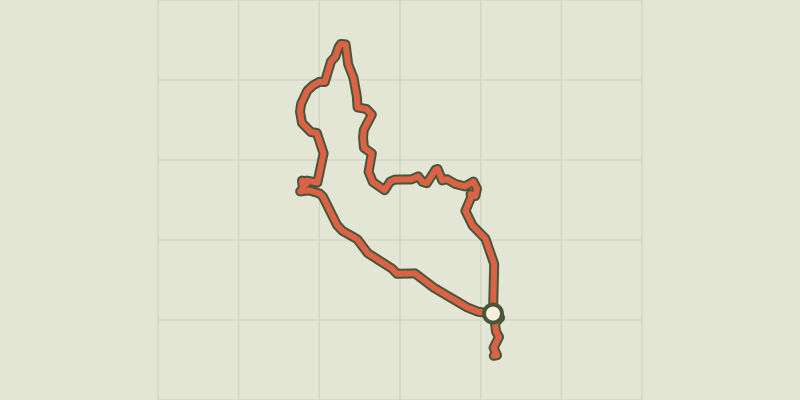
 Plan IGN © IGN 2026 · track © OpenStreetMapCircuit de PeygrosProvence-Alpes-Côte d'Azur, Auribeau-sur-Siagne (06) · Point to point
 Plan IGN © IGN 2026 · track © OpenStreetMapCircuit des CrêtesProvence-Alpes-Côte d'Azur, Gardanne (13) · Loop
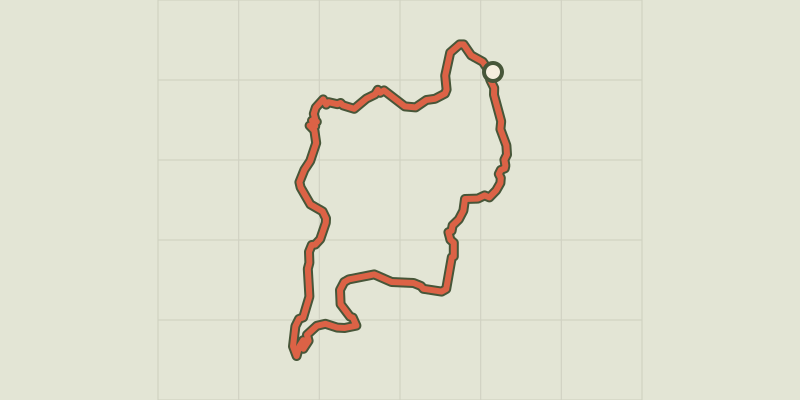 Plan IGN © IGN 2026 · track © OpenStreetMapCircuit des LacsProvence-Alpes-Côte d'Azur, Entraunes (06) · Loop
 Plan IGN © IGN 2026 · track © OpenStreetMapCircuit du Bois d'AnelleProvence-Alpes-Côte d'Azur, Saint-Étienne-de-Tinée (06) · Point to point
 Plan IGN © IGN 2026 · track © OpenStreetMapCircuit du BruguetProvence-Alpes-Côte d'Azur, Valbonne (06) · Loop
 Plan IGN © IGN 2026 · track © OpenStreetMapCircuit du CastelletProvence-Alpes-Côte d'Azur, Saint-Jeannet (06) · Loop
 Plan IGN © IGN 2026 · track © OpenStreetMapCircuit du ConquetProvence-Alpes-Côte d'Azur, Venanson (06) · Loop
 Plan IGN © IGN 2026Ascension Lake LoopProvence-Alpes-Côte d'Azur, La Roche-de-Rame (05) · LoopOfficial rating by Parc national des Écrins
 Plan IGN © IGN 2026Néal Lake and Néal Pass CircuitProvence-Alpes-Côte d'Azur, La Roche-de-Rame (05) · LoopOfficial rating by Parc national des Écrins
 Plan IGN © IGN 2026Circuit du LangoustierProvence-Alpes-Côte d'Azur, Hyères (83) · LoopOfficial rating by Parc national de Port-Cros
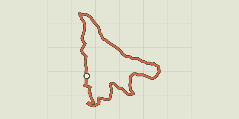 Plan IGN © IGN 2026 · track © OpenStreetMapCircuit du MalvanProvence-Alpes-Côte d'Azur, Vence (06) · Loop
 Plan IGN © IGN 2026 · track © OpenStreetMapCircuit du mont BastideProvence-Alpes-Côte d'Azur, Èze (06) · Loop
 Plan IGN © IGN 2026 · track © OpenStreetMapCircuit du Val MartinProvence-Alpes-Côte d'Azur, Valbonne (06) · Loop
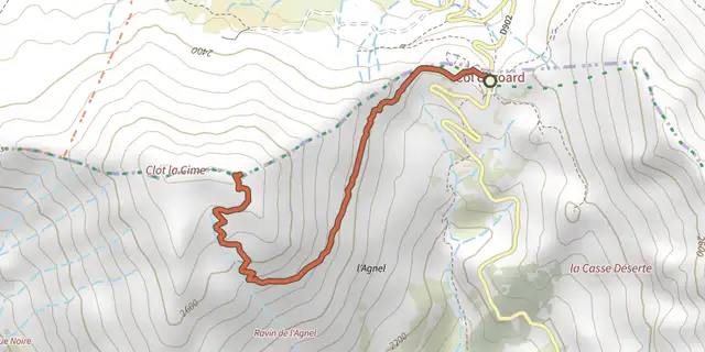 Plan IGN © IGN 2026Clot la CimeQueyras, Arvieux (05) · Out and backOfficial rating by Parc national des Écrins
 Plan IGN © IGN 2026Clot-ClavaryProvence-Alpes-Côte d'Azur, Chorges (05) · LoopOfficial rating by Parc national des Écrins
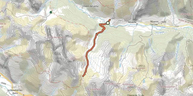 Plan IGN © IGN 2026Col de BuffèreProvence-Alpes-Côte d'Azur, Névache (05) · Out and backOfficial rating by Parc national des Écrins
 Plan IGN © IGN 2026 · track © OpenStreetMapCol de CeriseProvence-Alpes-Côte d'Azur · Point to point
 Plan IGN © IGN 2026Col de ChabaudProvence-Alpes-Côte d'Azur, Cervières (05) · Out and backOfficial rating by Parc national des Écrins
 Plan IGN © IGN 2026Font Froide Mountain PassÉcrins, La Motte-en-Champsaur (05) · Out and backOfficial rating by Parc national des Écrins
 Plan IGN © IGN 2026Col de l'Aup MartinÉcrins, Vallouise-Pelvoux (05) · Out and backOfficial rating by Parc national des Écrins
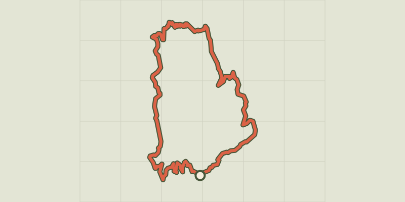 Plan IGN © IGN 2026 · track © OpenStreetMapCol de la BouchardeProvence-Alpes-Côte d'Azur, Entraunes (06) · Loop
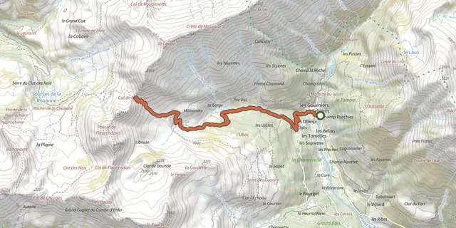 Plan IGN © IGN 2026Le col de la CoupaÉcrins, Réallon (05) · Out and backOfficial rating by Parc national des Écrins
 Plan IGN © IGN 2026Col de la GardetteProvence-Alpes-Côte d'Azur, Chorges (05) · Out and backOfficial rating by Parc national des Écrins
 Plan IGN © IGN 2026Col de la PisseProvence-Alpes-Côte d'Azur, Puy-Saint-André (05) · Out and backOfficial rating by Parc national des Écrins