
Clot-Clavary

Key facts
- Distance
- 8.8 km
- Ascent
- +428 m
- Descent
- −427 m
- Estimated time
- 2 hr 50
- hiking
- Difficulty
- Easy
- official rating
- Route
- Loop
- back to the start
Profile and gradient
- under 10%
- 10 to 20%
- over 20%
Gradient along the route: 5.7 km under 10%, 2.8 km at 10 to 20% and 0.2 km over 20%. Elevation from 1,088 m to 1,518 m over 8.8 km.
Surface and path types
- Surface
- Paved 5%
- Dirt & gravel 93%
- Unknown 2%
- Path types
- Trail 42%
- Track 51%
- Road 5%
- Off-network 2%
Description
This route through the Chorges hinterland is perfect for the whole family, taking them through pastures and forests in the foothills of Mont Colombis. Near Serre Ponçon lake, you get your first glimpse of the Pic de Morgon, marking the border between the Hautes-Alpes and the Alpes-de-Haute-Provence. - Ascend the left bank of the stream along the (initially faint) trail, then head along the path. Continue uphill along the forest track opposite for 100 m, then turn right and climb the slope, which is initially steep then gentler. At the Champ-du Comte forest hut [picnic area], continue along the gravelled forest road. - At the crossroads, head up the Route de la Procession (path) to the left. Take the forest road (D 303t) to the right until you reach a crossroads just before Clot-Clavary. - Mount the Chemin de la Procession to the left, skirt the Ruban ridge, descend via the serre des Renards until, after several switchbacks, you reach the Collet du Clot-Charmantier (1,268 m) near an electricity pole. - Descend by the track on the left, take the forest road (D 303t) on the right, then follow the D 203t on the left for 100 m and then descend by the track on the right. At each junction, turn left onto the D203t and follow it up to the car park.
Difficulty
Official rating: easy, by Parc national des Écrins.
Getting there
Start: Pont du Chazonnet (à droite, 1 km avant Le Fein), Chorges (05).
Sources
- Track: Parc national des Écrins, Licence Ouverte 2.0, Licence Ouverte 2.0 (Etalab) (destination.ecrins-parcnational.fr/trek/995372-Clot-Clavary). Time estimated by GPX Path with the Mac app rule, breaks not included.
- Surface and path types: © OpenStreetMap contributors, ODbL, extract of 28 October 2026, matched to the track every 10 m (openstreetmap.org/copyright)
- Official elevation gain: 428 m, Parc national des Écrins
Nearby tracks
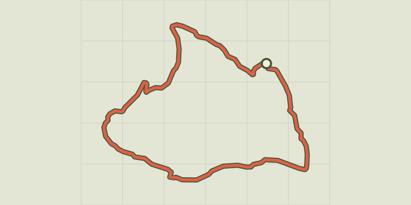
 Plan IGN © IGN 2026Bois SeignièresProvence-Alpes-Côte d'Azur, Chorges (05) · LoopOfficial rating by Parc national des Écrins
 Plan IGN © IGN 2026From Chorges to Baie-Saint-MichelProvence-Alpes-Côte d'Azur, Chorges (05) · Out and backOfficial rating by Parc national des Écrins
 Plan IGN © IGN 2026Le Fein loopProvence-Alpes-Côte d'Azur, Chorges (05) · LoopOfficial rating by Parc national des Écrins
 Plan IGN © IGN 2026Le Pré de l'AubreProvence-Alpes-Côte d'Azur, Chorges (05) · LoopOfficial rating by Parc national des Écrins
 Plan IGN © IGN 2026Le Serre du boisProvence-Alpes-Côte d'Azur, Chorges (05) · LoopOfficial rating by Parc national des Écrins
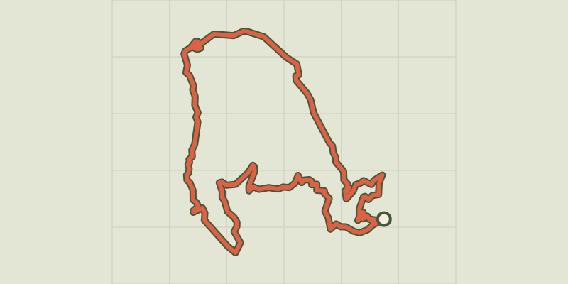 Plan IGN © IGN 2026Les GlaisollesProvence-Alpes-Côte d'Azur, Chorges (05) · LoopOfficial rating by Parc national des Écrins