
Néal Lake and Néal Pass Circuit

Key facts
- Distance
- 7.8 km
- Ascent
- +606 m
- Descent
- −595 m
- Estimated time
- 3 hr 25
- hiking
- Difficulty
- Moderate
- official rating
- Route
- Loop
- back to the start
Profile and gradient
- under 10%
- 10 to 20%
- over 20%
Gradient along the route: 2.3 km under 10%, 2.9 km at 10 to 20% and 2.5 km over 20%. Elevation from 1,901 m to 2,496 m over 7.8 km.
Surface and path types
- Surface
- Dirt & gravel 100%
- Path types
- Trail 100%
Description
In search of high-altitude lakes and lush green meadows, at the gateway to the Durance. It is on the border between the Durance and the Queyras Regional Park that this hike will lead you to discover an authentic corner of the Hautes-Alpes. Little known to hikers, Néal Lake is nevertheless well worth the detour, with its emerald water fringed with small white flowers known as cottongrass. A magnificent view over the Écrins will reward your final efforts at the Néal pass. - At the entrance to the hamlet of Le Cougnet, take the right-hand path that climbs through the meadow just before the first chalets. - Continue to the Néal mountain hut, then keep climbing through a few switchbacks to a junction at 2,418m. - Turn right towards Lac de Néal, which is 500m from the junction. - Upon reaching the lake, continue straight ahead along the path, then turn right at the junction to climb up to the Col de Néal. - Enjoy the viewpoint before descending by the same path as the ascent.
Difficulty
Official rating: moderate, by Parc national des Écrins.
Before you go
- Check weather conditions before setting off on a hike Emergency contacts: Mountain Rescue: 112 Respect the work of farmers, landowners and property owners Close all gates behind you Take all your litter home Do not cut across meadows
Getting there
Start: Entrée du hameau, Le Cougnet, La Roche-de-Rame (05).
Sources
- Track: Parc national des Écrins, Licence Ouverte 2.0, Licence Ouverte 2.0 (Etalab) (destination.ecrins-parcnational.fr/trek/995094-Circuit-du-lac-et-du-col-de-Neal). Time estimated by GPX Path with the Mac app rule, breaks not included.
- Surface and path types: © OpenStreetMap contributors, ODbL, extract of 28 October 2026, matched to the track every 10 m (openstreetmap.org/copyright)
- Official elevation gain: 606 m, Parc national des Écrins
Nearby tracks

 Plan IGN © IGN 2026Ascension Lake LoopProvence-Alpes-Côte d'Azur, La Roche-de-Rame (05) · LoopOfficial rating by Parc national des Écrins
 Plan IGN © IGN 2026Col Garnier par le Lac du Lauzet - Saint-CrépinProvence-Alpes-Côte d'Azur, Saint-Crépin (05) · LoopOfficial rating by Parcs naturels régionaux de Provence-Alpes-Côte d'Azur
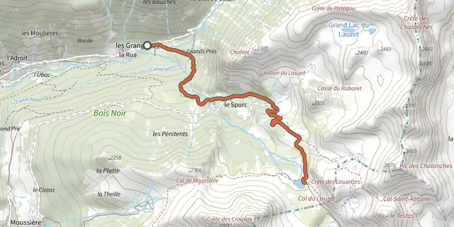 Plan IGN © IGN 2026Lac du Lauzet - Saint-CrépinProvence-Alpes-Côte d'Azur, Saint-Crépin (05) · Out and backOfficial rating by Parcs naturels régionaux de Provence-Alpes-Côte d'Azur
 Plan IGN © IGN 2026THEMED PATH: The Serre-Duc CanalProvence-Alpes-Côte d'Azur, La Roche-de-Rame (05) · LoopOfficial rating by Parc national des Écrins
 Plan IGN © IGN 2026RANDOLAND : La Roche de RameProvence-Alpes-Côte d'Azur, La Roche-de-Rame (05) · LoopOfficial rating by Parc national des Écrins
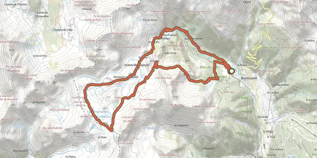 Plan IGN © IGN 2026Arvieux - Les chalets de Clapeyto et le col de NéalQueyras, Arvieux (05) · LoopOfficial rating by Parcs naturels régionaux de Provence-Alpes-Côte d'Azur