
GPX tracks in Provence-Alpes-Côte d'Azur (page 22)
1,146 GPX tracks in Provence-Alpes-Côte d'Azur, with distance, elevation gain and time for each track. Filter by department, sport, distance, elevation gain and time.
All GPX tracks in Provence-Alpes-Côte d'Azur


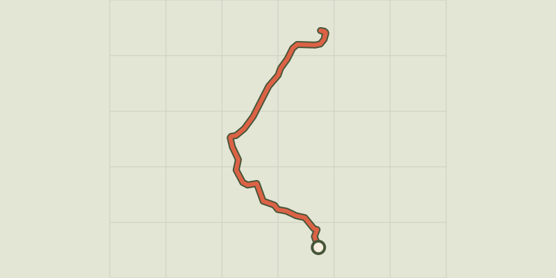
 Plan IGN © IGN 2026Lac des ChiensProvence-Alpes-Côte d'Azur, Cervières (05) · Out and backOfficial rating by Parc national des Écrins
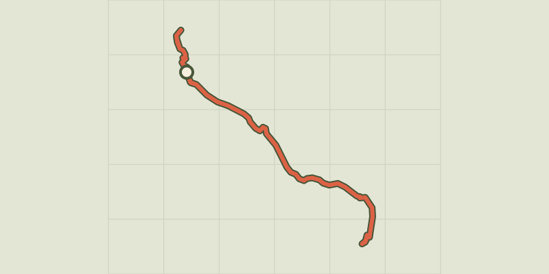 Plan IGN © IGN 2026Lac des SaraillesProvence-Alpes-Côte d'Azur, Cervières (05) · LoopOfficial rating by Parc national des Écrins
 Plan IGN © IGN 2026Lac du CrachetProvence-Alpes-Côte d'Azur, Crévoux (05) · Out and backOfficial rating by Parc national des Écrins
 Plan IGN © IGN 2026Lac du Goléon depuis les HièresÉcrins, La Grave (05) · Out and backOfficial rating by Parc national des Écrins
 Plan IGN © IGN 2026 · track © OpenStreetMapLac du LauzanierProvence-Alpes-Côte d'Azur, Val d'Oronaye (04) · Point to point
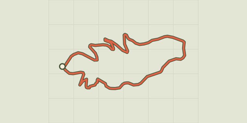 Plan IGN © IGN 2026Lac du LauzerotÉcrins, Crots (05) · LoopOfficial rating by Parc national des Écrins
 Plan IGN © IGN 2026Lac du PontetÉcrins, Villar-d'Arêne (05) · LoopOfficial rating by Parc national des Écrins
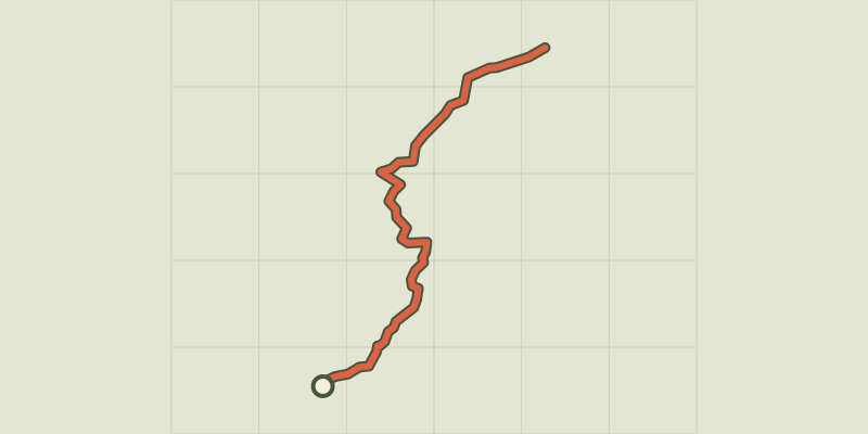 Plan IGN © IGN 2026Lac GignouxProvence-Alpes-Côte d'Azur, Cervières (05) · Out and backOfficial rating by Parc national des Écrins
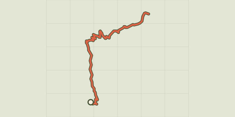 Plan IGN © IGN 2026Lac Laramon et Lac du SerpentProvence-Alpes-Côte d'Azur, Névache (05) · Out and backOfficial rating by Parc national des Écrins
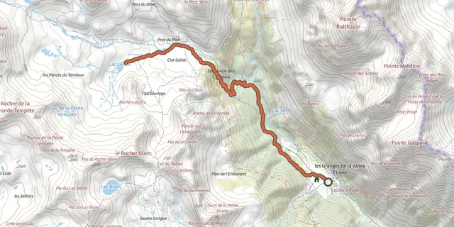 Plan IGN © IGN 2026Lac LavoirProvence-Alpes-Côte d'Azur, Névache (05) · Out and backOfficial rating by Parc national des Écrins
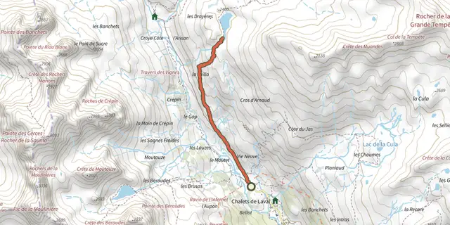 Plan IGN © IGN 2026Lac Long des MuandesProvence-Alpes-Côte d'Azur, Névache (05) · Out and backOfficial rating by Parc national des Écrins
 Plan IGN © IGN 2026Lac noir du ChenailletProvence-Alpes-Côte d'Azur, Cervières (05) · Out and backOfficial rating by Parc national des Écrins
 Plan IGN © IGN 2026Lac Noir et lac Lérié depuis le ChazeletÉcrins, La Grave (05) · LoopOfficial rating by Parc national des Écrins
 Plan IGN © IGN 2026Lake Sainte MargueriteProvence-Alpes-Côte d'Azur, Les Orres (05) · LoopOfficial rating by Parc national des Écrins
 Plan IGN © IGN 2026 · track © OpenStreetMapLacs de PralsProvence-Alpes-Côte d'Azur, Saint-Martin-Vésubie (06) · Loop
 Plan IGN © IGN 2026Lagnes - Sentier découverteLuberon, Lagnes (84) · LoopOfficial rating by Parcs naturels régionaux de Provence-Alpes-Côte d'Azur
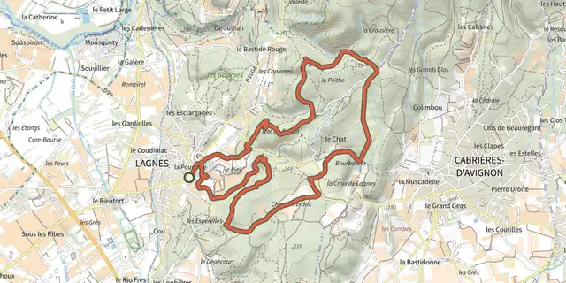 Plan IGN © IGN 2026Lagnes - Sur les sentiers de LagnesLuberon, Lagnes (84) · LoopOfficial rating by Parcs naturels régionaux de Provence-Alpes-Côte d'Azur
 Plan IGN © IGN 2026Lagnes - Tête du soldat et Mur de la pesteLuberon, Lagnes (84) · LoopOfficial rating by Parcs naturels régionaux de Provence-Alpes-Côte d'Azur
 Plan IGN © IGN 2026Lamanon - Autour de CalèsProvence-Alpes-Côte d'Azur, Lamanon (13) · LoopOfficial rating by Parcs naturels régionaux de Provence-Alpes-Côte d'Azur
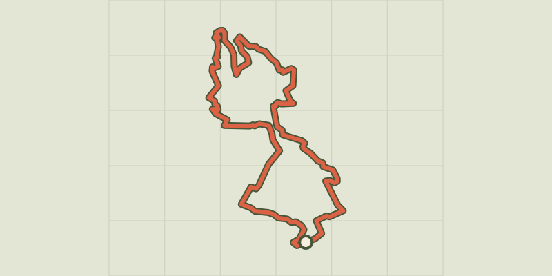
 Plan IGN © IGN 2026Lamanon - La plaine paysanne de la Durance en gravelProvence-Alpes-Côte d'Azur, Lamanon (13) · LoopOfficial rating by Parcs naturels régionaux de Provence-Alpes-Côte d'Azur
 Plan IGN © IGN 2026Lauris - De Recaute à SautadouLuberon, Lauris (84) · LoopOfficial rating by Parcs naturels régionaux de Provence-Alpes-Côte d'Azur
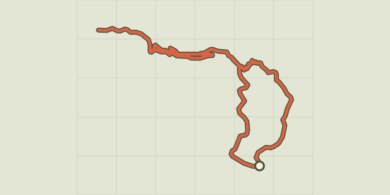 Plan IGN © IGN 2026Lauris - Portalas et biodiversité en cheminLuberon, Lauris (84) · LoopOfficial rating by Parcs naturels régionaux de Provence-Alpes-Côte d'Azur
 Plan IGN © IGN 2026 · track © OpenStreetMapLe balcon du CaderaouProvence-Alpes-Côte d'Azur, Saint-Mitre-les-Remparts (13) · Loop
 Plan IGN © IGN 2026Le balcon du ChampsaurÉcrins, Saint-Michel-de-Chaillol (05) · LoopOfficial rating by Parc national des Écrins