
Lac du Crachet

Key facts
- Distance
- 7.0 km
- Ascent
- +584 m
- Descent
- −581 m
- Estimated time
- 3 hr 15
- hiking
- Difficulty
- Moderate
- official rating
- Route
- Out and back
- same way back
Profile and gradient
- under 10%
- 10 to 20%
- over 20%
Gradient along the route: 2.1 km under 10%, 1.9 km at 10 to 20% and 3.0 km over 20%. Elevation from 1,666 m to 2,247 m over 7.0 km.
Surface and path types
- Surface
- Paved 1%
- Dirt & gravel 99%
- Path types
- Trail 84%
- Track 15%
- Road 1%
Description
The waterfall opens onto the valley of Le Crachet, with its lively mountain stream, before flowing into the Lac du Crachet. The route winds uphill, first running along a farm track and then a path. As you ascend, in the distance you will be able to see the entire valley of Crévoux as well as the Razis waterfall which is a unique sight. After the winding section, as you leave the forest take the time to admire the Le Crachet waterfall which is fed by the mountain stream you are going to follow. From here, you will come to the vast valley brimming with landscape features, leading to the Lac du Crachet. From the car park, take the track on the right after the earth mound, and head towards the Lac du Crachet (1). Further up, in the forest, follow the mountain stream Le Crachet. Near the cabin, follow the path on the right which hugs the water course until you reach the lake (2).
Difficulty
Official rating: moderate, by Parc national des Écrins.
Before you go
- Dependant upon snow melt, the Lac du Crachet is not fed with water all year round.
Getting there
Start: La Chalp, Crévoux, Crévoux (05).
Sources
- Track: Parc national des Écrins, Licence Ouverte 2.0, Licence Ouverte 2.0 (Etalab) (destination.ecrins-parcnational.fr/trek/973843-Lac-du-Crachet). Time estimated by GPX Path with the Mac app rule, breaks not included.
- Surface and path types: © OpenStreetMap contributors, ODbL, extract of 28 October 2026, matched to the track every 10 m (openstreetmap.org/copyright)
- Official elevation gain: 584 m, Parc national des Écrins
Nearby tracks
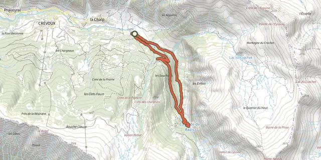
 Plan IGN © IGN 2026The Razis WaterfallProvence-Alpes-Côte d'Azur, Crévoux (05) · LoopOfficial rating by Parc national des Écrins
 Plan IGN © IGN 2026Le MéaleProvence-Alpes-Côte d'Azur, Saint-Sauveur (05) · LoopOfficial rating by Parc national des Écrins
 Plan IGN © IGN 2026Col des OrresProvence-Alpes-Côte d'Azur, Les Orres (05) · Out and backOfficial rating by Parc national des Écrins
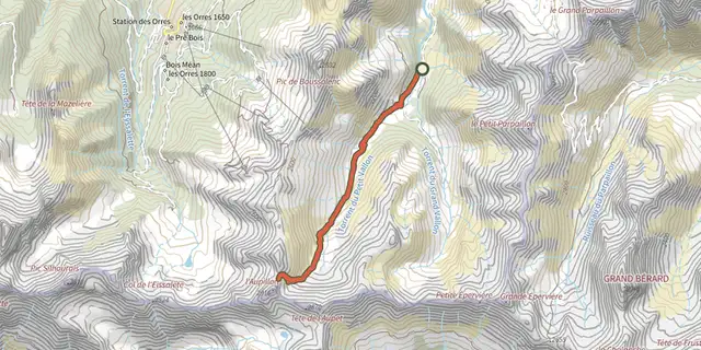 Plan IGN © IGN 2026l'AupillonProvence-Alpes-Côte d'Azur, Les Orres (05) · Out and backOfficial rating by Parc national des Écrins
 Plan IGN © IGN 2026The Grand PastreProvence-Alpes-Côte d'Azur, Les Orres (05) · LoopOfficial rating by Parc national des Écrins
 Plan IGN © IGN 2026Belvédère de l'Homme de Pierre - RisoulProvence-Alpes-Côte d'Azur, Risoul (05) · LoopOfficial rating by Parcs naturels régionaux de Provence-Alpes-Côte d'Azur