
GPX tracks in Provence-Alpes-Côte d'Azur (page 17)
1,146 GPX tracks in Provence-Alpes-Côte d'Azur, with distance, elevation gain and time for each track. Filter by department, sport, distance, elevation gain and time.
All GPX tracks in Provence-Alpes-Côte d'Azur


 Plan IGN © IGN 2026Rue des Masques - GuillestreProvence-Alpes-Côte d'Azur, Guillestre (05) · LoopOfficial rating by Parcs naturels régionaux de Provence-Alpes-Côte d'Azur
 Plan IGN © IGN 2026Rif-Bel - GuillestreProvence-Alpes-Côte d'Azur, Guillestre (05) · LoopOfficial rating by Parcs naturels régionaux de Provence-Alpes-Côte d'Azur

 Plan IGN © IGN 2026Tour de Guillestre - Guillestre en VTTProvence-Alpes-Côte d'Azur, Guillestre (05) · LoopOfficial rating by Parcs naturels régionaux de Provence-Alpes-Côte d'Azur
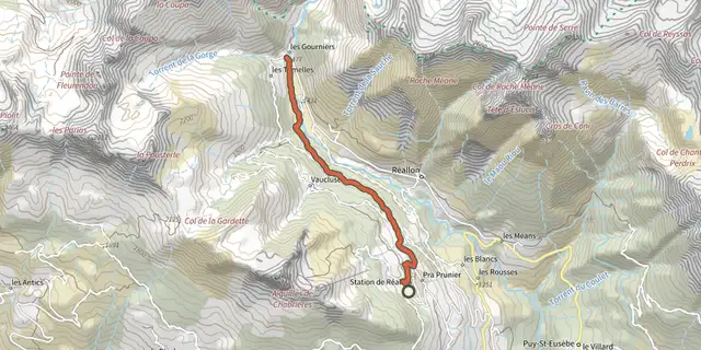 Plan IGN © IGN 2026Hamlet of GourniersÉcrins, Réallon (05) · Point to pointOfficial rating by Parc national des Écrins
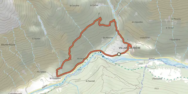 Plan IGN © IGN 2026Village of Les PeinesÉcrins, Villar-Loubière (05) · LoopOfficial rating by Parc national des Écrins
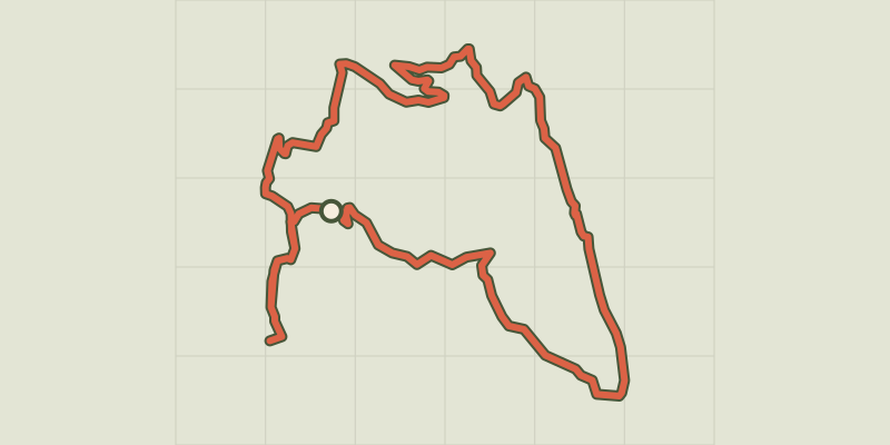 Plan IGN © IGN 2026Hameau du PoilProvence-Alpes-Côte d'Azur, Senez (04) · LoopOfficial rating by Département des Alpes-de-Haute-Provence
 Plan IGN © IGN 2026 · track © OpenStreetMapIsthme de Saint-JeanProvence-Alpes-Côte d'Azur, Saint-Jean-Cap-Ferrat (06) · Loop
 Plan IGN © IGN 2026 · track © OpenStreetMapjauneProvence-Alpes-Côte d'Azur, Allauch (13) · Point to point
 Plan IGN © IGN 2026Jusqu’aux plages du lac de Sainte-Croix à VTTVerdon, Moustiers-Sainte-Marie (04) · Out and backOfficial rating by Parcs naturels régionaux de Provence-Alpes-Côte d'Azur

 Plan IGN © IGN 2026Kilomètre Vertical - FreissinièresÉcrins, Freissinières (05) · Out and backOfficial rating by Parc national des Écrins
 Plan IGN © IGN 2026Kilomètre Vertical - L'Argentière-la-BesséeÉcrins, L'Argentière-la-Bessée (05) · Out and backOfficial rating by Parc national des Écrins
 Plan IGN © IGN 2026Les Oriols (trail route no. 9)Provence-Alpes-Côte d'Azur, Saint-Martin-de-Queyrières (05) · Out and backOfficial rating by Parc national des Écrins
 Plan IGN © IGN 2026Kilomètre Vertical - Vallouise-PelvouxÉcrins, Vallouise-Pelvoux (05) · Out and backOfficial rating by Parc national des Écrins
 Plan IGN © IGN 2026Kilomètre vertical des FréauxÉcrins, La Grave (05) · Out and backOfficial rating by Parc national des Écrins
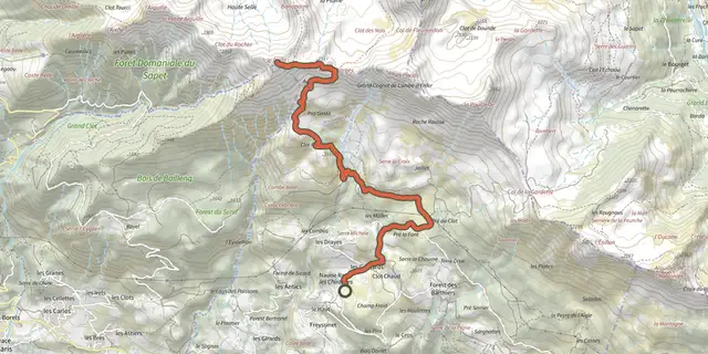 Plan IGN © IGN 2026Le Piolit vertical kilometreProvence-Alpes-Côte d'Azur, Chorges (05) · Out and backOfficial rating by Parc national des Écrins
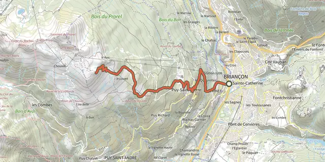 Plan IGN © IGN 2026KM vertical de Notre Dame des Neiges par les oratoiresProvence-Alpes-Côte d'Azur, Briançon (05) · Out and backOfficial rating by Parc national des Écrins
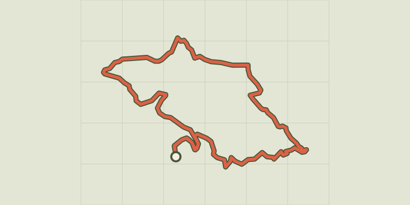 Plan IGN © IGN 2026The slopes of ChorgesProvence-Alpes-Côte d'Azur, Chorges (05) · LoopOfficial rating by Parc national des Écrins
 Plan IGN © IGN 2026L'AiguillonÉcrins, Villar-d'Arêne (05) · LoopOfficial rating by Parc national des Écrins
 Plan IGN © IGN 2026L'Aiguillon depuis les HièresÉcrins, La Grave (05) · Out and backOfficial rating by Parc national des Écrins
 Plan IGN © IGN 2026L'Alp du Pied et la Chapelle Sainte-Marie-MadeleineProvence-Alpes-Côte d'Azur, Cervières (05) · Out and backOfficial rating by Parc national des Écrins
 Plan IGN © IGN 2026The Tourond pastures and refugeProvence-Alpes-Côte d'Azur, Champoléon (05) · Out and backOfficial rating by Parc national des Écrins
 Plan IGN © IGN 2026The Alpe de Villar d'ArêneÉcrins, Villar-d'Arêne (05) · LoopOfficial rating by Parc national des Écrins
 Plan IGN © IGN 2026L'ancien fort de la Lausette depuis le LausProvence-Alpes-Côte d'Azur, Cervières (05) · Out and backOfficial rating by Parc national des Écrins

 Plan IGN © IGN 2026L'argentière La Bessée - Les RobertsÉcrins, L'Argentière-la-Bessée (05) · Point to pointOfficial rating by Parc national des Écrins