
The Alpe de Villar d'Arêne

Key facts
- Distance
- 10.7 km
- Ascent
- +425 m
- Descent
- −385 m
- Estimated time
- 3 hr 10
- hiking
- Difficulty
- Easy
- official rating
- Route
- Loop
- back to the start
Profile and gradient
- under 10%
- 10 to 20%
- over 20%
Gradient along the route: 7.7 km under 10%, 1.9 km at 10 to 20% and 1.1 km over 20%. Elevation from 1,677 m to 2,064 m over 10.7 km.
Description
An easy walk to discover the alpine universe with the family within the geographical boundaries of the Oisans and the upper Briançonnais. At the heart of the Alpe valley, the mountain pastures continue the story of pastoralism in the present as they did in the past. The refuge gives hikers a taste of the high mountains and provides the opportunity of spending a night with the family in the refuge. From the car park at Gravière, follow the bottom of the valley on the right bank on an excellent path that crosses the Pas d'Anna Falque. The fork that divides the way between the Alpe and Adèle Planchard is well marked. Take the track that goes up to the left, cross the path of crevasses near to the weather station... A little later leave the GR 54 and fork to the right and continue straight ahead until the Alpe refuge at Villar-d'Arêne. Go round the refuge to the right and go down to the crossroads which overhangs the Romanche. Turn right in order to go back down to the Plan de l'Alpe and pass several streams until the path originally used at the beginning. Pick up the path slightly to the left which crosses the Pas d'Anna Falque in order to come back to the car park.
Difficulty
Official rating: easy, by Parc national des Écrins.
Getting there
Start: Parking de la micro centrale du plan de l'Alpe, Villar-d'Arêne (05).
Sources
- Track: Parc national des Écrins, Licence Ouverte 2.0, Licence Ouverte 2.0 (Etalab) (destination.ecrins-parcnational.fr/trek/905606-L-Alpe-de-Villar-d-Arene). Time estimated by GPX Path with the Mac app rule, breaks not included.
- Official elevation gain: 425 m, Parc national des Écrins
Nearby tracks

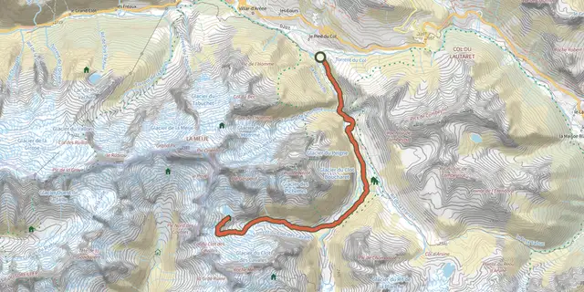
 Plan IGN © IGN 2026Adèle Planchard RefugeÉcrins, Villar-d'Arêne (05) · Out and backOfficial rating by Parc national des Écrins
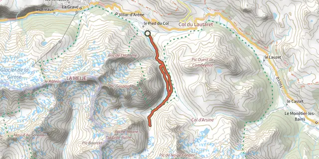
 Plan IGN © IGN 2026Pavé lake and mountain refugeÉcrins, Villar-d'Arêne (05) · Out and backOfficial rating by Parc national des Écrins
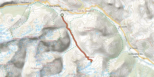
 Plan IGN © IGN 2026Les Sources de la RomancheÉcrins, Villar-d'Arêne (05) · Out and backOfficial rating by Parc national des Écrins
 Plan IGN © IGN 2026Les lacs d'Arsine par Villar d'ArèneÉcrins, Villar-d'Arêne (05) · Out and backOfficial rating by Parc national des Écrins
 Plan IGN © IGN 2026Boucle de la Gravière, Arsine, Villar d'ArèneÉcrins, Villar-d'Arêne (05) · LoopOfficial rating by Parc national des Écrins
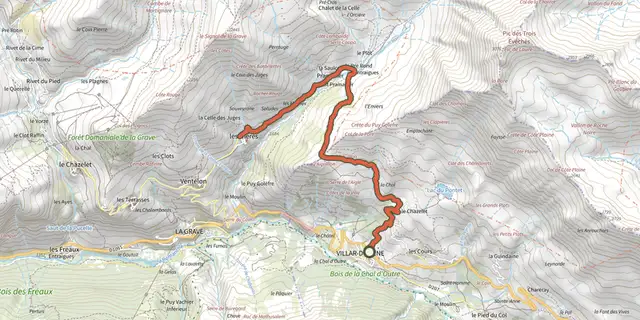 Plan IGN © IGN 2026De Villar d'Arène au hameau des HièresÉcrins, Villar-d'Arêne (05) · Out and backOfficial rating by Parc national des Écrins