
l'Aupillon
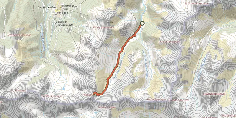
Key facts
- Distance
- 12.1 km
- Ascent
- +917 m
- Descent
- −913 m
- Estimated time
- 5 hr 15
- hiking
- Difficulty
- Difficult
- official rating
- Route
- Out and back
- same way back
Profile and gradient
- under 10%
- 10 to 20%
- over 20%
Gradient along the route: 4.9 km under 10%, 3.0 km at 10 to 20% and 4.2 km over 20%. Elevation from 1,869 m to 2,783 m over 12.1 km.
Surface and path types
- Surface
- Dirt & gravel 99%
- Unknown 1%
- Path types
- Trail 61%
- Track 38%
- Off-network 1%
Description
A tough climb to one of the highest peaks in the Parpaillon massif. The view over the Ubaye valley and the Mercantour massif from the summit of Aupillon is well worth the detour! You'll start out in a pastoral atmosphere, with open landscapes, peaceful herds and a stream flowing at the bottom of the valley. Gradually, the stones rolling under your feet will remind you that you are in an increasingly rocky landscape, where snow can remain until early August. - Take the track that crosses the river, then turn right 500m after the start at the signpost for the Col de l'Aupillon (yellow markings). Turn left after 150m and follow the stream. Keep to the right of the riverbank level with a small bridge, then continue to the source of the river. - Continue straight on into mountain pastures. Stay at the bottom of the valley until you find a path marked with yellow markings and cairns. The route then ascends steeply, crossing a mountain pasture where a sign points to l’Aupillon. The path twists up the wall on the right and then crosses some scree. The final section up to the pass requires care as it is more vertiginous. - Once at the pass, bear left to reach the summit. Once again, there are a few more technical passages that require extra care.
Difficulty
Official rating: difficult, by Parc national des Écrins.
Getting there
Start: les Tomples, Les Orres, Les Orres (05).
Sources
- Track: Parc national des Écrins, Licence Ouverte 2.0, Licence Ouverte 2.0 (Etalab) (destination.ecrins-parcnational.fr/trek/991183-l-Aupillon). Time estimated by GPX Path with the Mac app rule, breaks not included.
- Surface and path types: © OpenStreetMap contributors, ODbL, extract of 28 October 2026, matched to the track every 10 m (openstreetmap.org/copyright)
- Official elevation gain: 917 m, Parc national des Écrins
Nearby tracks

 Plan IGN © IGN 2026Col des OrresProvence-Alpes-Côte d'Azur, Les Orres (05) · Out and backOfficial rating by Parc national des Écrins
 Plan IGN © IGN 2026The Grand PastreProvence-Alpes-Côte d'Azur, Les Orres (05) · LoopOfficial rating by Parc national des Écrins
 Plan IGN © IGN 2026Lake Sainte MargueriteProvence-Alpes-Côte d'Azur, Les Orres (05) · LoopOfficial rating by Parc national des Écrins
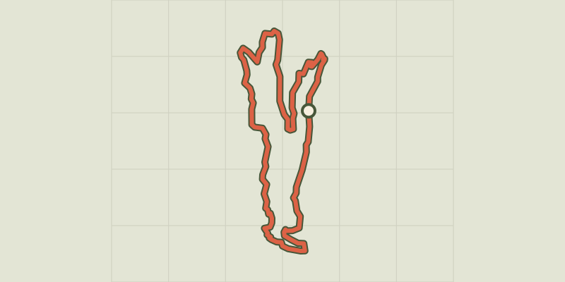 Plan IGN © IGN 2026Sources de Jérusalem (Jerusalem Springs)Provence-Alpes-Côte d'Azur, Les Orres (05) · LoopOfficial rating by Parc national des Écrins
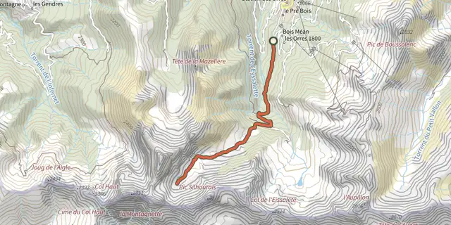 Plan IGN © IGN 2026Vallon de MuretierProvence-Alpes-Côte d'Azur, Les Orres (05) · Out and backOfficial rating by Parc national des Écrins
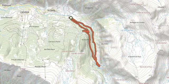 Plan IGN © IGN 2026The Razis WaterfallProvence-Alpes-Côte d'Azur, Crévoux (05) · LoopOfficial rating by Parc national des Écrins