
Col des Orres

Key facts
- Distance
- 10.9 km
- Ascent
- +732 m
- Descent
- −725 m
- Estimated time
- 4 hr 20
- hiking
- Difficulty
- Moderate
- official rating
- Route
- Out and back
- same way back
Profile and gradient
- under 10%
- 10 to 20%
- over 20%
Gradient along the route: 4.1 km under 10%, 4.1 km at 10 to 20% and 2.7 km over 20%. Elevation from 1,868 m to 2,597 m over 10.9 km.
Surface and path types
- Surface
- Dirt & gravel 100%
- Path types
- Trail 51%
- Track 49%
Description
Head up the Grand Vallon stream to the Col des Orres in an enchanting setting that feels like the end of the world. This secluded valley reveals a myriad of colours as the rustle of the water accompanies you on your way to the pass. From here, the landscape suddenly opens up, losing its discreet charm and becoming more majestic. The Ubaye valley and the town of Barcelonette appear as if from nowhere. - Cross the bridge over the river. The route is signposted in yellow. At the le Pré l'Ansouré sign, turn left towards Col des Orres. - Pass in front of the Rama hut then continue, overhanging the river. Then take a small path to the left by the Grand Vallon hut and cross the torrent. Follow the river for about 100 m then cross the torrent again on a wooden footbridge 50 m after the hut. - Then follow the path on the right bank then cross the stream again below a tiered waterfall in the mountain pastures. A narrow path, marked with yellow markings and cairns, leads to the summit. Keep your eyes peeled for a left turn in a grassy area.
Difficulty
Official rating: moderate, by Parc national des Écrins.
Getting there
Start: les Tomples, Les Orres, Les Orres (05).
Sources
- Track: Parc national des Écrins, Licence Ouverte 2.0, Licence Ouverte 2.0 (Etalab) (destination.ecrins-parcnational.fr/trek/991181-Col-des-Orres). Time estimated by GPX Path with the Mac app rule, breaks not included.
- Surface and path types: © OpenStreetMap contributors, ODbL, extract of 28 October 2026, matched to the track every 10 m (openstreetmap.org/copyright)
- Official elevation gain: 732 m, Parc national des Écrins
Nearby tracks
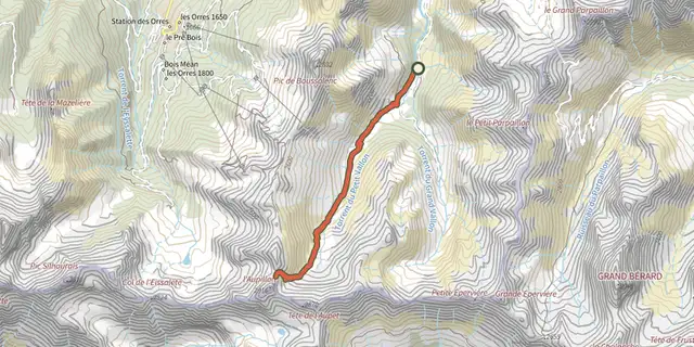
 Plan IGN © IGN 2026l'AupillonProvence-Alpes-Côte d'Azur, Les Orres (05) · Out and backOfficial rating by Parc national des Écrins
 Plan IGN © IGN 2026The Grand PastreProvence-Alpes-Côte d'Azur, Les Orres (05) · LoopOfficial rating by Parc national des Écrins
 Plan IGN © IGN 2026Lake Sainte MargueriteProvence-Alpes-Côte d'Azur, Les Orres (05) · LoopOfficial rating by Parc national des Écrins
 Plan IGN © IGN 2026Sources de Jérusalem (Jerusalem Springs)Provence-Alpes-Côte d'Azur, Les Orres (05) · LoopOfficial rating by Parc national des Écrins
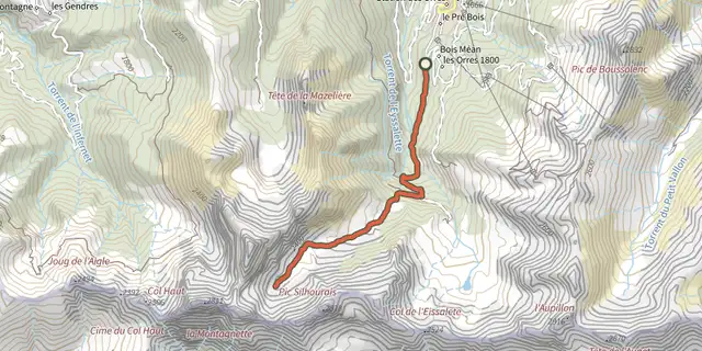 Plan IGN © IGN 2026Vallon de MuretierProvence-Alpes-Côte d'Azur, Les Orres (05) · Out and backOfficial rating by Parc national des Écrins
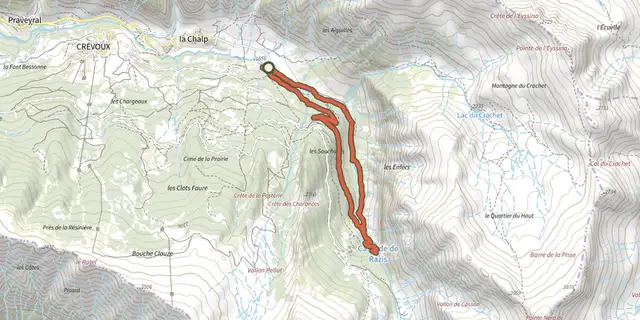 Plan IGN © IGN 2026The Razis WaterfallProvence-Alpes-Côte d'Azur, Crévoux (05) · LoopOfficial rating by Parc national des Écrins