
Hiking GPX tracks in Provence-Alpes-Côte d'Azur (page 29)
749 GPX tracks in Provence-Alpes-Côte d'Azur, with distance, elevation gain and time for each track. Filter by department, sport, distance, elevation gain and time.
All GPX tracks in Provence-Alpes-Côte d'Azur


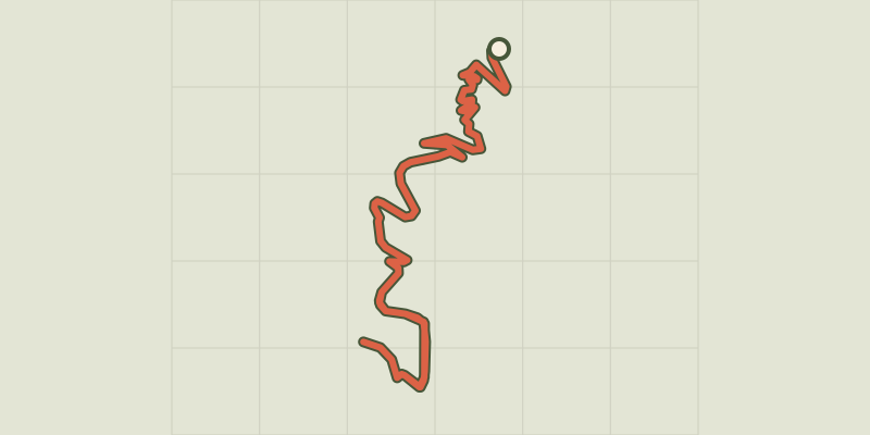
 Plan IGN © IGN 2026Sentier des MoinesÉcrins, Crots (05) · Out and backOfficial rating by Parc national des Écrins
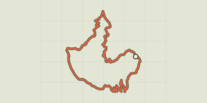 Plan IGN © IGN 2026The Sentier des PyramidesÉcrins, Crots (05) · LoopOfficial rating by Parc national des Écrins
 Plan IGN © IGN 2026Sentier des VignesÉcrins, Châteauroux-les-Alpes (05) · LoopOfficial rating by Parc national des Écrins
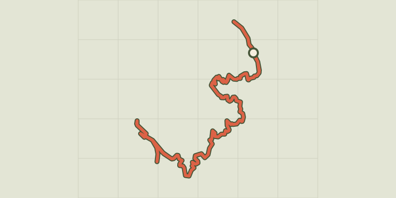 Plan IGN © IGN 2026Sentier du bord de LacProvence-Alpes-Côte d'Azur, Chorges (05) · Out and backOfficial rating by Parc national des Écrins
 Plan IGN © IGN 2026Sentier géologique du ChenailletProvence-Alpes-Côte d'Azur, Cervières (05) · Out and backOfficial rating by Parc national des Écrins
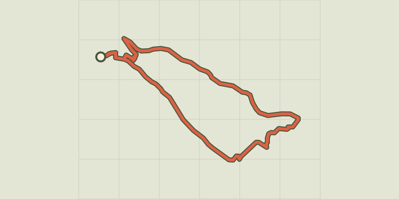 Plan IGN © IGN 2026Maou RiouÉcrins, Réallon (05) · LoopOfficial rating by Parc national des Écrins
 Plan IGN © IGN 2026Sentier Paul-Louis RoussetÉcrins, La Grave (05) · LoopOfficial rating by Parc national des Écrins
 Plan IGN © IGN 2026Sentier pédagogique de la Taure dans la réserve biologique du bois des AyesProvence-Alpes-Côte d'Azur, Villar-Saint-Pancrace (05) · Out and backOfficial rating by Parc national des Écrins
 Plan IGN © IGN 2026THEMED PATH: Industrial circuit walkÉcrins, L'Argentière-la-Bessée (05) · LoopOfficial rating by Parc national des Écrins
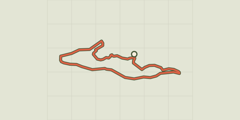 Plan IGN © IGN 2026THEMED PATH: Mr Alfred's woodÉcrins, Freissinières (05) · LoopOfficial rating by Parc national des Écrins
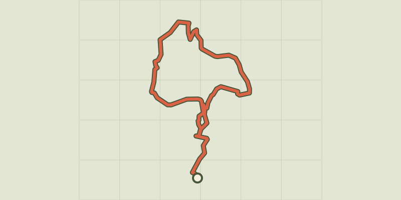 Plan IGN © IGN 2026THEMED PATH: The Serre-Duc CanalProvence-Alpes-Côte d'Azur, La Roche-de-Rame (05) · LoopOfficial rating by Parc national des Écrins
 Plan IGN © IGN 2026THEMED PATH: The Mountain Hut pathProvence-Alpes-Côte d'Azur, Saint-Martin-de-Queyrières (05) · LoopOfficial rating by Parc national des Écrins
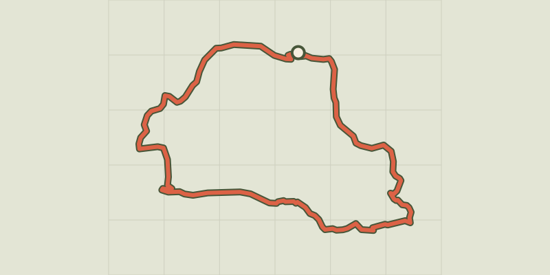 Plan IGN © IGN 2026THEMED PATH: The Le Cloutas pathÉcrins, Les Vigneaux (05) · LoopOfficial rating by Parc national des Écrins
 Plan IGN © IGN 2026THEMED PATH: The precipice pathÉcrins, Champcella (05) · LoopOfficial rating by Parc national des Écrins
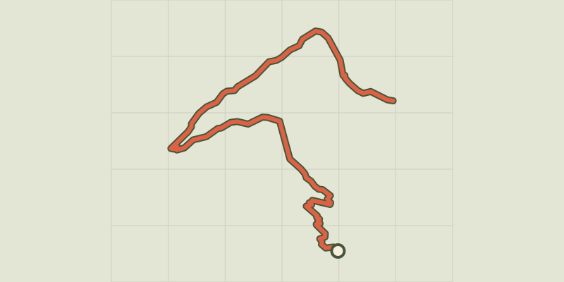 Plan IGN © IGN 2026THEMED PATH: The larch forest pathÉcrins, Puy-Saint-Vincent (05) · Point to pointOfficial rating by Parc national des Écrins
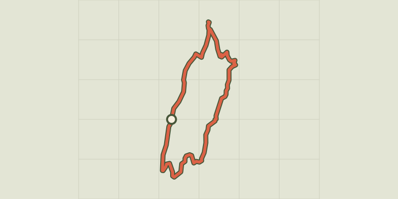 Plan IGN © IGN 2026THEMED PATH: In the shepherds' footstepsÉcrins, Vallouise-Pelvoux (05) · LoopOfficial rating by Parc national des Écrins
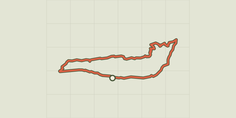 Plan IGN © IGN 2026Séranon - Crêtes du BaurouxProvence-Alpes-Côte d'Azur, Séranon (06) · LoopOfficial rating by Parcs naturels régionaux de Provence-Alpes-Côte d'Azur
 Plan IGN © IGN 2026Serre Bernard par la BercheÉcrins, La Grave (05) · LoopOfficial rating by Parc national des Écrins
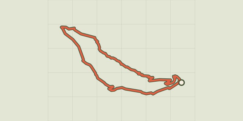 Plan IGN © IGN 2026Monks' TrailProvence-Alpes-Côte d'Azur, Serres (05) · LoopOfficial rating by Parcs naturels régionaux de Provence-Alpes-Côte d'Azur
 Plan IGN © IGN 2026Sigale - Circuit de la CaciaProvence-Alpes-Côte d'Azur, Sigale (06) · LoopOfficial rating by Parcs naturels régionaux de Provence-Alpes-Côte d'Azur
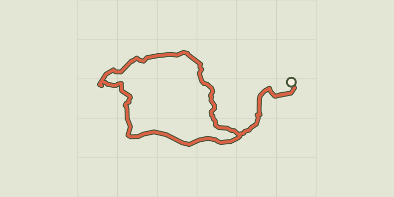 Plan IGN © IGN 2026Signes - L'éléphant de pierreProvence-Alpes-Côte d'Azur, Signes (83) · LoopOfficial rating by Parcs naturels régionaux de Provence-Alpes-Côte d'Azur
 Plan IGN © IGN 2026Signes - Les Aiguilles de ValbelleProvence-Alpes-Côte d'Azur, Signes (83) · LoopOfficial rating by Parcs naturels régionaux de Provence-Alpes-Côte d'Azur
 Plan IGN © IGN 2026The Tour of Défens des ColettesVerdon, Soleilhas (04) · LoopOfficial rating by Parcs naturels régionaux de Provence-Alpes-Côte d'Azur
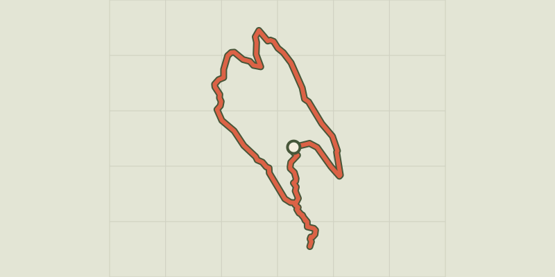 Plan IGN © IGN 2026Sollies-Toucas - Le circuit du Grand CapProvence-Alpes-Côte d'Azur, Solliès-Toucas (83) · LoopOfficial rating by Parcs naturels régionaux de Provence-Alpes-Côte d'Azur