
THEMED PATH: The larch forest path
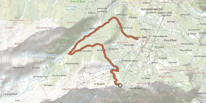
Key facts
- Distance
- 7.6 km
- Ascent
- +72 m
- Descent
- −645 m
- Estimated time
- 2 hr 15
- hiking
- Difficulty
- Easy
- official rating
- Route
- Point to point
- ends elsewhere
Profile and gradient
- under 10%
- 10 to 20%
- over 20%
Gradient along the route: 4.7 km under 10%, 2.7 km at 10 to 20% and 0.2 km over 20%. Elevation from 1,675 m to 2,277 m over 7.6 km.
Description
A nature walk in the heart of the Puy Saint-Vincent resort! This downhill route offers some lovely panoramic views and varied landscapes. An itinerary punctuated with information panels on the fauna and flora, giving an insight into life on the mountain. A trail that is rich with discoveries, with a succession of points of interest. Don't forget your binoculars! Starting from the bottom terminal of the La Bergerie chairlift, take the chairlift if it is open. If it is not operating, go up the “La Bergerie” track to reach the chairlift top terminal. - Facing away from the chairlift terminal, take the path on the right. - Continue along the path on the left to the Combe de Narreyroux mountain stream. - Take the path on the right which follows the mountain stream and leads back to your starting point.
Difficulty
Official rating: easy, by Parc national des Écrins.
Before you go
- Enquire at the Puy Saint-Vincent Tourist Information Office ("Bureau d'Information Touristique") to check whether the Le Bergerie chairlift is running, so that you can reach the starting point (paying, open one morning a week). If necessary, it is possible to reach point no. 1 on foot. Information panels are installed all along the route.
- Binoculars are recommended for observing the fauna
- Check weather conditions before setting off.
- Rescue services contact details: Secours Montagne (Mountain Rescue): +33 (0)4 92 22 22 22 or 112
- Show consideration for the work of farmers, livestock keepers and owners
- Close all gates behind you
- Take your litter home
- Do not take shortcuts across pastureland
Getting there
Start: Arrivée du télésiège de la crête des Bans, Puy-Saint-Vincent (05).
Sources
- Track: Parc national des Écrins, Licence Ouverte 2.0, Licence Ouverte 2.0 (Etalab) (destination.ecrins-parcnational.fr/trek/960388-SENTIER-THEMATIQUE-%3A-Le-Sentier-du-Melezin). Time estimated by GPX Path with the Mac app rule, breaks not included.
- Official elevation gain: 72 m, Parc national des Écrins
Nearby tracks
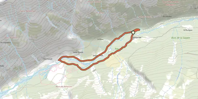
 Plan IGN © IGN 2026Les chardons bleus des DesliouresÉcrins, L'Argentière-la-Bessée (05) · LoopOfficial rating by Parc national des Écrins
 Plan IGN © IGN 2026The Grande CabaneÉcrins, L'Argentière-la-Bessée (05) · Out and backOfficial rating by Parc national des Écrins
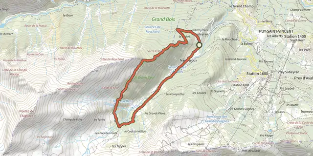 Plan IGN © IGN 2026La cabane des Grands PlansÉcrins, Puy-Saint-Vincent (05) · LoopOfficial rating by Parc national des Écrins
 Plan IGN © IGN 2026Le sentier des canauxÉcrins, Puy-Saint-Vincent (05) · LoopOfficial rating by Parc national des Écrins
 Plan IGN © IGN 2026La tête d'OréacÉcrins, Les Vigneaux (05) · LoopOfficial rating by Parc national des Écrins
 Plan IGN © IGN 2026Le belvédère des TêtesÉcrins, Les Vigneaux (05) · Out and backOfficial rating by Parc national des Écrins