
Hiking GPX tracks in Provence-Alpes-Côte d'Azur (page 15)
842 GPX tracks in Provence-Alpes-Côte d'Azur, with distance, elevation gain and time for each track. Filter by department, sport, distance, elevation gain and time.
All GPX tracks in Provence-Alpes-Côte d'Azur


 Plan IGN © IGN 2026The big Cuchon/Rouanne circuitÉcrins, Saint-Léger-les-Mélèzes (05) · LoopOfficial rating by Parc national des Écrins
 Plan IGN © IGN 2026The Grande CabaneÉcrins, L'Argentière-la-Bessée (05) · Out and backOfficial rating by Parc national des Écrins
 Plan IGN © IGN 2026 · track © OpenStreetMapLa Louve (bleu)Provence-Alpes-Côte d'Azur, Fréjus (83) · Loop
 Plan IGN © IGN 2026 · track © OpenStreetMapLa Louve (jaune)Provence-Alpes-Côte d'Azur, Fréjus (83) · Loop
 Plan IGN © IGN 2026La Martre - L'AvelanierVerdon, La Martre (83) · LoopOfficial rating by Parcs naturels régionaux de Provence-Alpes-Côte d'Azur
 Plan IGN © IGN 2026The climb at DormillouseÉcrins, Freissinières (05) · Out and backOfficial rating by Parc national des Écrins
 Plan IGN © IGN 2026La Palud - Rougon point sublime + AutocarVerdon, La Palud-sur-Verdon (04) · Point to pointOfficial rating by Parcs naturels régionaux de Provence-Alpes-Côte d'Azur
 Plan IGN © IGN 2026La Palud sur Verdon - Le Bastidon en aller retourVerdon, La Palud-sur-Verdon (04) · Out and backOfficial rating by Parcs naturels régionaux de Provence-Alpes-Côte d'Azur
 Plan IGN © IGN 2026The trail of Blanc MartelVerdon, La Palud-sur-Verdon (04) · Point to pointOfficial rating by Parcs naturels régionaux de Provence-Alpes-Côte d'Azur
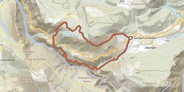 Plan IGN © IGN 2026The Bastidon TrailVerdon, La Palud-sur-Verdon (04) · LoopOfficial rating by Parcs naturels régionaux de Provence-Alpes-Côte d'Azur
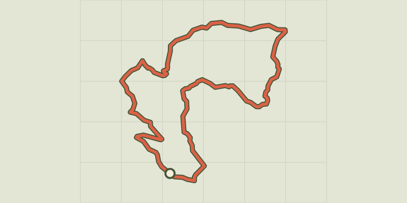 Plan IGN © IGN 2026La Peyre de l'aigleProvence-Alpes-Côte d'Azur, Chorges (05) · LoopOfficial rating by Parc national des Écrins
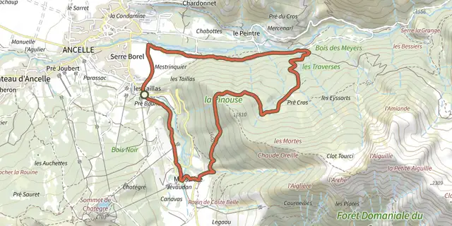 Plan IGN © IGN 2026La PinouseÉcrins, Ancelle (05) · LoopOfficial rating by Parc national des Écrins
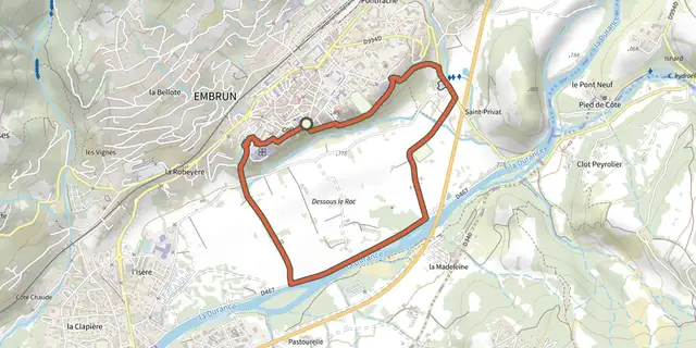 Plan IGN © IGN 2026La plaine sous le rocÉcrins, Embrun (05) · LoopOfficial rating by Parc national des Écrins
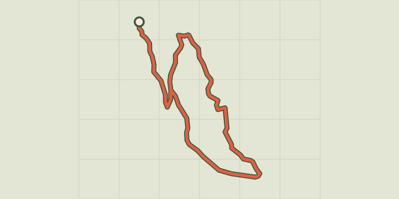 Plan IGN © IGN 2026 · track © OpenStreetMapLa RigaudeProvence-Alpes-Côte d'Azur, Rians (83) · Point to point
 Plan IGN © IGN 2026La Roquebrussanne - À la découverte du village provençalProvence-Alpes-Côte d'Azur, La Roquebrussanne (83) · Out and backOfficial rating by Parcs naturels régionaux de Provence-Alpes-Côte d'Azur
 Plan IGN © IGN 2026La Roquebrussanne - Des Molières vers les OrrisProvence-Alpes-Côte d'Azur, La Roquebrussanne (83) · LoopOfficial rating by Parcs naturels régionaux de Provence-Alpes-Côte d'Azur
 Plan IGN © IGN 2026La tête d'OréacÉcrins, Les Vigneaux (05) · LoopOfficial rating by Parc national des Écrins
 Plan IGN © IGN 2026La Verdiere - Notre Dame de la SaletteVerdon, La Verdière (83) · LoopOfficial rating by Parcs naturels régionaux de Provence-Alpes-Côte d'Azur
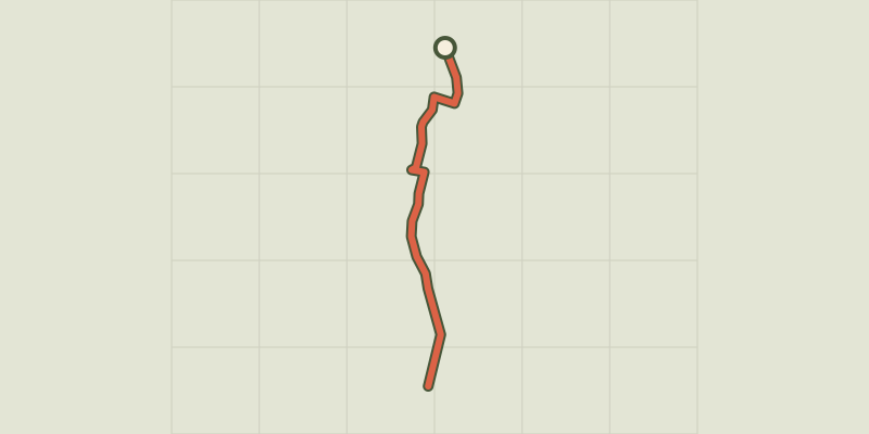 Plan IGN © IGN 2026The L’Argentière-la-Bessée green route ("Voie Verte")Écrins, L'Argentière-la-Bessée (05) · Out and backOfficial rating by Parc national des Écrins
 Plan IGN © IGN 2026The Liou wetlandÉcrins, Baratier (05) · Out and backOfficial rating by Parc national des Écrins
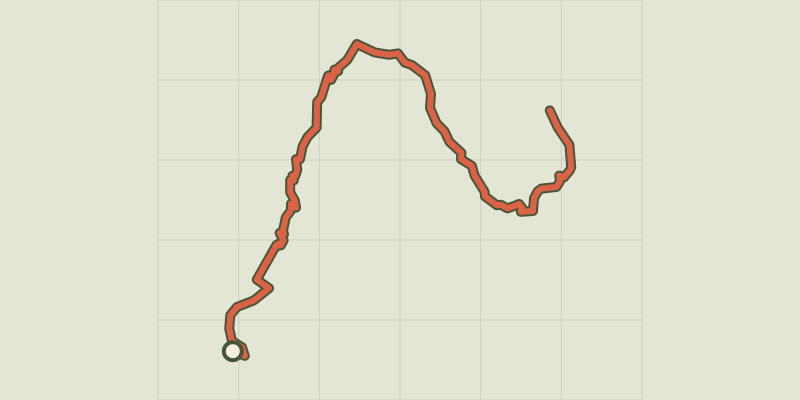 Plan IGN © IGN 2026Lake BrunÉcrins, Réallon (05) · Out and backOfficial rating by Parc national des Écrins
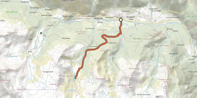 Plan IGN © IGN 2026Lac de CristolProvence-Alpes-Côte d'Azur, Névache (05) · Out and backOfficial rating by Parc national des Écrins
 Plan IGN © IGN 2026Lac de l'HivernetÉcrins, Embrun (05) · LoopOfficial rating by Parc national des Écrins
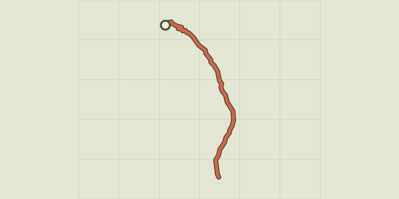 Plan IGN © IGN 2026Lac de l'Orceyrette depuis le Centre MontagneProvence-Alpes-Côte d'Azur, Villar-Saint-Pancrace (05) · Out and backOfficial rating by Parc national des Écrins