
The Grande Cabane
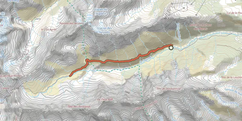
Key facts
- Distance
- 14.3 km
- Ascent
- +764 m
- Descent
- −689 m
- Estimated time
- 4 hr 40
- hiking
- Difficulty
- Moderate
- official rating
- Route
- Out and back
- same way back
Profile and gradient
- under 10%
- 10 to 20%
- over 20%
Gradient along the route: 7.2 km under 10% and 7.2 km at 10 to 20%. Elevation from 1,569 m to 2,234 m over 14.3 km.
Description
This long elevated hike in the superb glacial Fournel valley gives you access to exceptional biodiversity. « At sunrise, as I went up to carry out a sanitary check on the chamois goats in Clouzis valley, the grass suddenly moved under my shoes. It was a slow worm, this lizard without legs which is very rare to see at altitude. » Jean-Philippe Telmon, park ranger in Vallouise. From the carpark at Deslioures, take the path on the right, the alternative itinerary on the GR54 (Tour de l'Oisans). - Go along several bends in « la Folie » to reach the plateau which will take you along a gentle elevation, by the « Malafosse » shale, to the pastoral cabin of Balme. - Continue on the elevated path under the cabin until the torrent at Clausis, the entrance into the heart of the national park, then up to the Grande Cabane, positioned above the glacial cross cliff at Fournel. - Go down by the same track. It is possible to continue towards the Pas de la Cavale, mountain pass which enables you to get back to the Pré de la Chaumette in the Champsaur.
Difficulty
Official rating: moderate, by Parc national des Écrins.
Before you go
- The carpark is two steps away from the Deslioures nature reserve, the biggest European site for The Queen of the Alps (Alpine Sea Holly), a protected plant. It usually flowers at the end of June and the beginning of August. It is forbidden to pick this plant.
Getting there
Start: La Salce, l'Argentière-la-Bessée, L'Argentière-la-Bessée (05).
Sources
- Track: Parc national des Écrins, Licence Ouverte 2.0, Licence Ouverte 2.0 (Etalab) (destination.ecrins-parcnational.fr/trek/903299-La-Grande-Cabane). Time estimated by GPX Path with the Mac app rule, breaks not included.
- Official elevation gain: 764 m, Parc national des Écrins
Nearby tracks
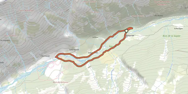
 Plan IGN © IGN 2026Les chardons bleus des DesliouresÉcrins, L'Argentière-la-Bessée (05) · LoopOfficial rating by Parc national des Écrins
 Plan IGN © IGN 2026THEMED PATH: The larch forest pathÉcrins, Puy-Saint-Vincent (05) · Point to pointOfficial rating by Parc national des Écrins
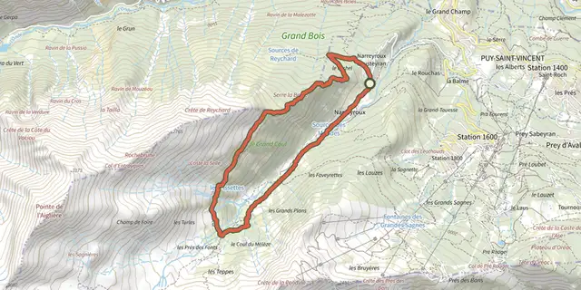 Plan IGN © IGN 2026La cabane des Grands PlansÉcrins, Puy-Saint-Vincent (05) · LoopOfficial rating by Parc national des Écrins
 Plan IGN © IGN 2026Le sentier des canauxÉcrins, Puy-Saint-Vincent (05) · LoopOfficial rating by Parc national des Écrins
 Plan IGN © IGN 2026La tête d'OréacÉcrins, Les Vigneaux (05) · LoopOfficial rating by Parc national des Écrins
 Plan IGN © IGN 2026Le belvédère des TêtesÉcrins, Les Vigneaux (05) · Out and backOfficial rating by Parc national des Écrins