
Hiking GPX tracks in Provence-Alpes-Côte d'Azur (page 11)
749 GPX tracks in Provence-Alpes-Côte d'Azur, with distance, elevation gain and time for each track. Filter by department, sport, distance, elevation gain and time.
All GPX tracks in Provence-Alpes-Côte d'Azur


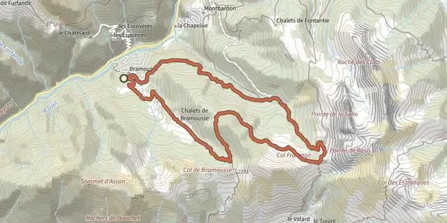
 Plan IGN © IGN 2026Cols de Bramousse et Fromage depuis Bramousse - GuillestreQueyras, Guillestre (05) · LoopOfficial rating by Parcs naturels régionaux de Provence-Alpes-Côte d'Azur
 Plan IGN © IGN 2026Mélèze remarquable de Bramousse - GuillestreQueyras, Guillestre (05) · LoopOfficial rating by Parcs naturels régionaux de Provence-Alpes-Côte d'Azur
 Plan IGN © IGN 2026Pain de Sucre de GuillestreProvence-Alpes-Côte d'Azur, Guillestre (05) · Out and backOfficial rating by Parcs naturels régionaux de Provence-Alpes-Côte d'Azur
 Plan IGN © IGN 2026Rue des Masques - GuillestreProvence-Alpes-Côte d'Azur, Guillestre (05) · LoopOfficial rating by Parcs naturels régionaux de Provence-Alpes-Côte d'Azur
 Plan IGN © IGN 2026Rif-Bel - GuillestreProvence-Alpes-Côte d'Azur, Guillestre (05) · LoopOfficial rating by Parcs naturels régionaux de Provence-Alpes-Côte d'Azur
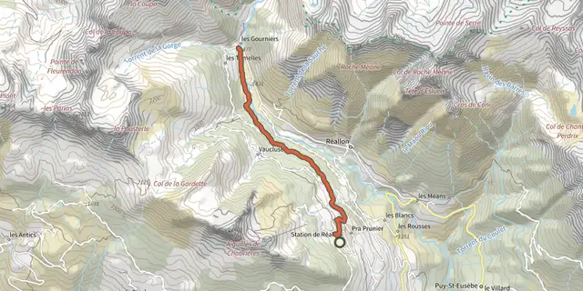 Plan IGN © IGN 2026Hamlet of GourniersÉcrins, Réallon (05) · Point to pointOfficial rating by Parc national des Écrins
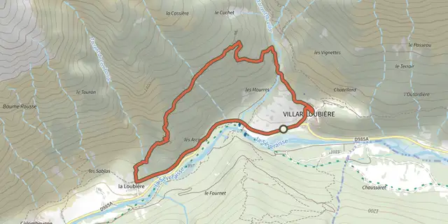 Plan IGN © IGN 2026Village of Les PeinesÉcrins, Villar-Loubière (05) · LoopOfficial rating by Parc national des Écrins
 Plan IGN © IGN 2026The slopes of ChorgesProvence-Alpes-Côte d'Azur, Chorges (05) · LoopOfficial rating by Parc national des Écrins
 Plan IGN © IGN 2026L'Aiguillon depuis les HièresÉcrins, La Grave (05) · Out and backOfficial rating by Parc national des Écrins
 Plan IGN © IGN 2026L'Alp du Pied et la Chapelle Sainte-Marie-MadeleineProvence-Alpes-Côte d'Azur, Cervières (05) · Out and backOfficial rating by Parc national des Écrins
 Plan IGN © IGN 2026The Tourond pastures and refugeProvence-Alpes-Côte d'Azur, Champoléon (05) · Out and backOfficial rating by Parc national des Écrins
 Plan IGN © IGN 2026The Alpe de Villar d'ArêneÉcrins, Villar-d'Arêne (05) · LoopOfficial rating by Parc national des Écrins
 Plan IGN © IGN 2026L'ancien fort de la Lausette depuis le LausProvence-Alpes-Côte d'Azur, Cervières (05) · Out and backOfficial rating by Parc national des Écrins
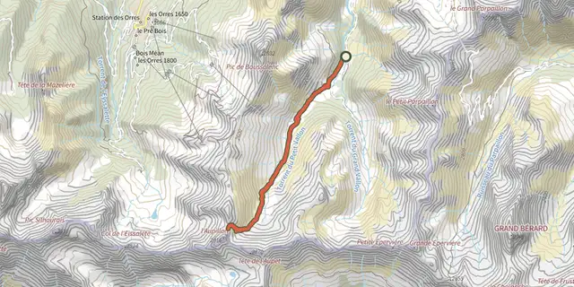 Plan IGN © IGN 2026l'AupillonProvence-Alpes-Côte d'Azur, Les Orres (05) · Out and backOfficial rating by Parc national des Écrins
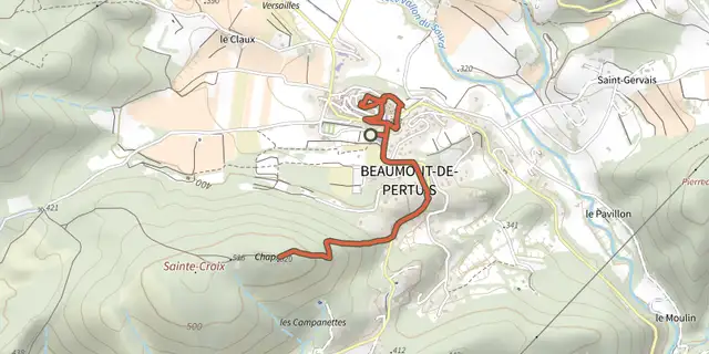 Plan IGN © IGN 2026L'eau des fontaines et Chapelle Sainte-CroixLuberon, Beaumont-de-Pertuis (84) · Out and backOfficial rating by Parcs naturels régionaux de Provence-Alpes-Côte d'Azur
 Plan IGN © IGN 2026L'Epine - Le DuffreProvence-Alpes-Côte d'Azur, L'Épine (05) · LoopOfficial rating by Parcs naturels régionaux de Provence-Alpes-Côte d'Azur
 Plan IGN © IGN 2026L’Onde and Le VillardÉcrins, Vallouise-Pelvoux (05) · LoopOfficial rating by Parc national des Écrins
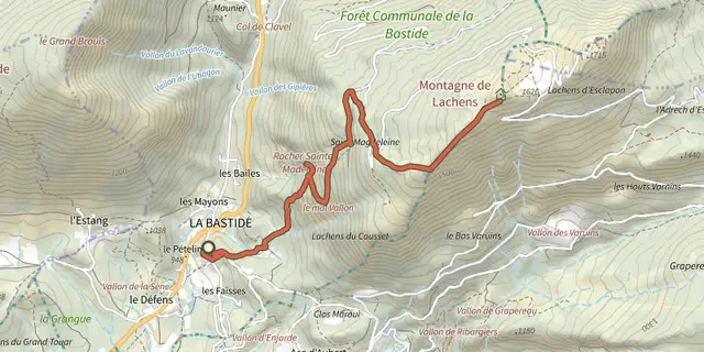 Plan IGN © IGN 2026The peak of the Lachens MountainVerdon, La Bastide (83) · Out and backOfficial rating by Parcs naturels régionaux de Provence-Alpes-Côte d'Azur
 Plan IGN © IGN 2026La Bastidonne - Chapelle Saint-JulienLuberon, La Bastidonne (84) · Out and backOfficial rating by Parcs naturels régionaux de Provence-Alpes-Côte d'Azur
 Plan IGN © IGN 2026La BlancheÉcrins, Vallouise-Pelvoux (05) · Out and backOfficial rating by Parc national des Écrins
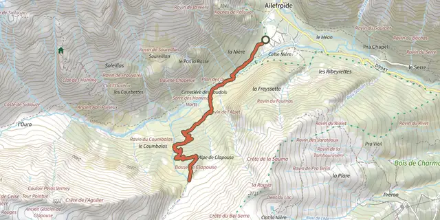 Plan IGN © IGN 2026La Bosse de ClapouseÉcrins, Vallouise-Pelvoux (05) · Out and backOfficial rating by Parc national des Écrins
 Plan IGN © IGN 2026The Ailefroide loopÉcrins, Vallouise-Pelvoux (05) · LoopOfficial rating by Parc national des Écrins
 Plan IGN © IGN 2026The Dormillouse circuitÉcrins, Freissinières (05) · LoopOfficial rating by Parc national des Écrins
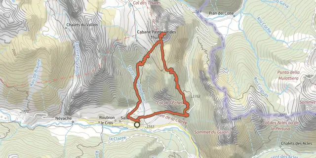 Plan IGN © IGN 2026La boucle de l’Aiguille RougeProvence-Alpes-Côte d'Azur, Névache (05) · LoopOfficial rating by Parc national des Écrins