
GPX tracks in France (page 197)
7,609 GPX tracks in France, with distance, elevation gain and time for each track. Pick a region on the map, then filter by department, sport, distance, elevation gain and time.
All GPX tracks in France
Activity : All activities
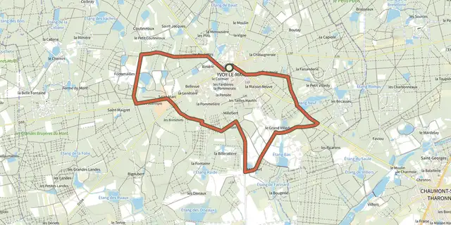
 Plan IGN © IGN 2026 · track © OpenStreetMapLe Grand VilledyCentre-Val de Loire, Yvoy-le-Marron (41) · Loop

 Plan IGN © IGN 2026Le Grand-Bois - n° 111Bourgogne-Franche-Comté, Chaffois (25) · LoopOfficial rating by Département du Doubs
 Plan IGN © IGN 2026 · track © OpenStreetMapLe Granit BleuBrittany, Mesnil-Roc'h (35) · Loop
 Plan IGN © IGN 2026Le gros hêtreNormandy, Culey-le-Patry (14) · Loop
 Plan IGN © IGN 2026Le Grun de ChignoreAuvergne, Vollore-Ville (63) · Loop
 Plan IGN © IGN 2026The ford at HiverneCévennes, Aujac (30) · LoopOfficial rating by Parc national des Cévennes
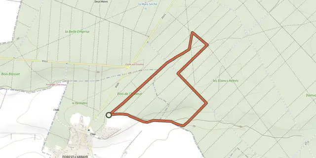 Plan IGN © IGN 2026 · track © OpenStreetMapLe HallotHauts-de-France, Forest-l'Abbaye (80) · Loop
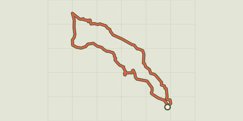 Plan IGN © IGN 2026The hamlet of VaucluseÉcrins, Réallon (05) · LoopOfficial rating by Parc national des Écrins
 Plan IGN © IGN 2026Le Hameau du FontenilProvence-Alpes-Côte d'Azur, Briançon (05) · LoopOfficial rating by Parc national des Écrins
 Plan IGN © IGN 2026Le Haut ClairvauxNouvelle-Aquitaine, Scorbé-Clairvaux (86) · Loop
 Plan IGN © IGN 2026 · track © OpenStreetMapLe Haut d'Herméfosse - Côtes de TayonVosges, La Chapelle-devant-Bruyères (88) · Loop
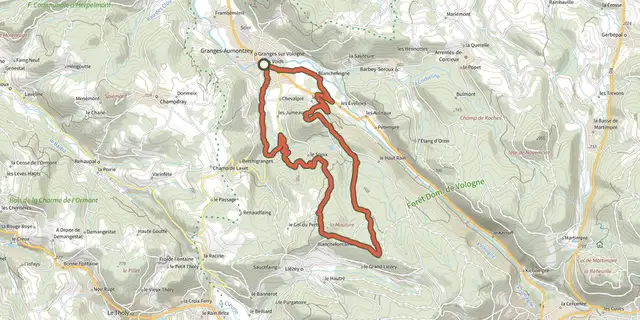 Plan IGN © IGN 2026 · track © OpenStreetMapLe Haut de Menaumont - La MoulureVosges, Granges-Aumontzey (88) · Loop
 Plan IGN © IGN 2026 · track © OpenStreetMapLe Haut des ÉchellesBrittany, Les Portes du Coglais (35) · Loop
 Plan IGN © IGN 2026 · track © OpenStreetMapLe haut du boisVosges, Docelles (88) · Loop

 Plan IGN © IGN 2026 · track © OpenStreetMapLe Haut PaysHauts-de-France, Hucqueliers (62) · Loop
 Plan IGN © IGN 2026Le HéronPays de la Loire, La Chapelle-des-Marais (44) · LoopOfficial rating by Département de Loire-Atlantique
 Plan IGN © IGN 2026 · track © OpenStreetMapLe HonlieuHauts-de-France, Montcavrel (62) · Loop
 Plan IGN © IGN 2026 · track © OpenStreetMapLe HourdelHauts-de-France, Cayeux-sur-Mer (80) · Loop
 Plan IGN © IGN 2026 · track © OpenStreetMapLe HourquetHauts-de-France, Samer (62) · Loop
 Plan IGN © IGN 2026 · track © OpenStreetMapLe Jardin BourgNouvelle-Aquitaine, Montaignac-sur-Doustre (19) · Loop
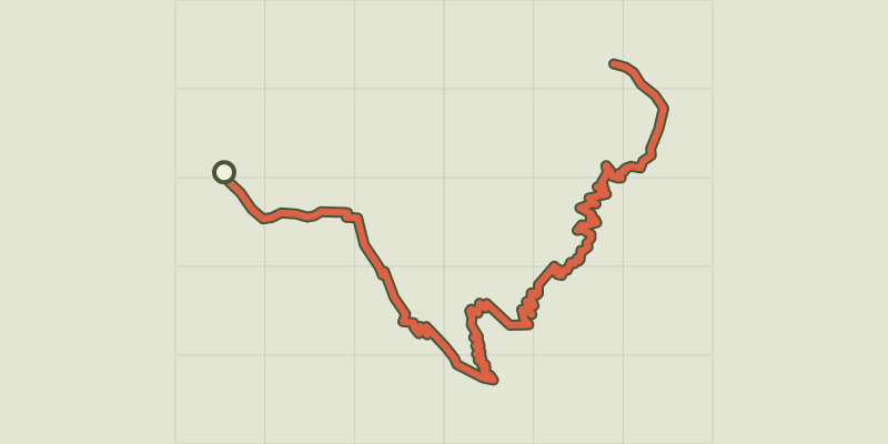 Plan IGN © IGN 2026The jas des Agneaux by the Combe des RobertsÉcrins, Entraigues (38) · Out and backOfficial rating by Parc national des Écrins
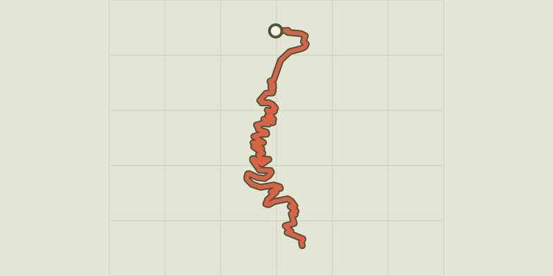 Plan IGN © IGN 2026Jas des Agneaux via Pissard des AiguillesÉcrins, Chantepérier (38) · Out and backOfficial rating by Parc national des Écrins
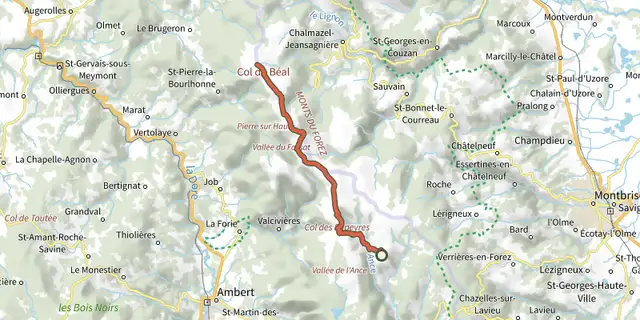 Plan IGN © IGN 2026Le Jas-du-Mas / Chalet-de-la-RocheAuvergne, Saint-Anthème (63) · Point to point
 Plan IGN © IGN 2026 · track © OpenStreetMapLe LacVosges, Saulxures-sur-Moselotte (88) · Loop