
Jas des Agneaux via Pissard des Aiguilles

Key facts
- Distance
- 9.2 km
- Ascent
- +969 m
- Descent
- −961 m
- Estimated time
- 5 hr 10
- hiking
- Difficulty
- Moderate
- official rating
- Route
- Out and back
- same way back
Profile and gradient
- under 10%
- 10 to 20%
- over 20%
Gradient along the route: 5.1 km at 10 to 20% and 4.1 km over 20%. Elevation from 911 m to 1,876 m over 9.2 km.
Surface and path types
- Surface
- Dirt & gravel 78%
- Unknown 22%
- Path types
- Trail 78%
- Off-network 22%
Description
A forest trail in the shade of tall pine trees up to a light-filled, unique belvedere. On a carpet of pine needles and leaves, you make your way along a winding path for a long distance. The typical north-facing slope of the forest provides humidity and coolness, excepting in rare places where the sun’s rays peep through the gaps made by uprooted trees after the storm of 5 January 2012. Bernard Nicollet, Ecrins National Park keeper The car park - in a cul de sac - is 300 m after the Dessous la Roche car park. From there, under a large beech tree, follow the marked footpath along an uneven forest trail, then turn right onto a small path marking the real entrance to the forest and the heart of the Ecrins Park. From there, follow the path for a long distance across the Combe de La Géline as far as the Pissard des Aiguilles, and you finally arrive in lush sub-Alpine grassland. After three loops through the prairie, you reach the Jas des Agneaux, at point 1893m. Take the same route on the way back or the Vêt - Lac Gary route, arriving at the village of Entraigues, 4 km downstream from Dessous la Roche.
Difficulty
Official rating: moderate, by Parc national des Écrins.
Getting there
Start: Dessous la Roche, Chantepérier (38).
Sources
- Track: Parc national des Écrins, Licence Ouverte 2.0, Licence Ouverte 2.0 (Etalab) (destination.ecrins-parcnational.fr/trek/917262-Le-jas-des-Agneaux-par-le-Pissard-des-Aiguilles). Time estimated by GPX Path with the Mac app rule, breaks not included.
- Surface and path types: © OpenStreetMap contributors, ODbL, extract of 28 October 2026, matched to the track every 10 m (openstreetmap.org/copyright)
- Official elevation gain: 969 m, Parc national des Écrins
Nearby tracks

 Plan IGN © IGN 2026Touret RockÉcrins, Chantepérier (38) · Out and backOfficial rating by Parc national des Écrins
 Plan IGN © IGN 2026Lac Gary via le VetÉcrins, Entraigues (38) · Out and backOfficial rating by Parc national des Écrins
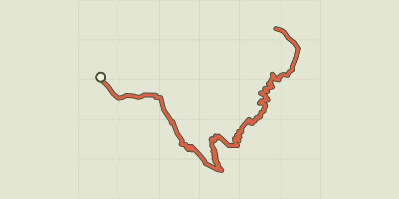 Plan IGN © IGN 2026The jas des Agneaux by the Combe des RobertsÉcrins, Entraigues (38) · Out and backOfficial rating by Parc national des Écrins
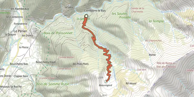 Plan IGN © IGN 2026La cabane de Rif MeyolÉcrins, Chantepérier (38) · Out and backOfficial rating by Parc national des Écrins
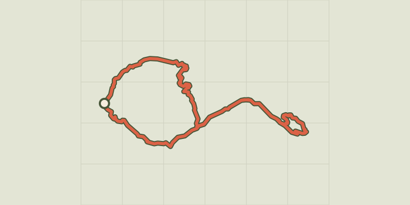 Plan IGN © IGN 2026Tour of Pic de ValsenestreÉcrins, Valjouffrey (38) · Point to pointOfficial rating by Parc national des Écrins
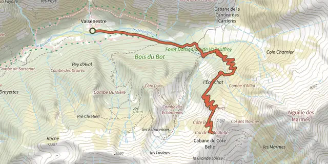 Plan IGN © IGN 2026Col de Côte Belle from ValsenestreÉcrins, Valjouffrey (38) · Out and backOfficial rating by Parc national des Écrins