
GPX tracks in France (page 194)
7,609 GPX tracks in France, with distance, elevation gain and time for each track. Pick a region on the map, then filter by department, sport, distance, elevation gain and time.
All GPX tracks in France
Activity : All activities

 Plan IGN © IGN 2026Col des FossesCévennes, Saint-Roman-de-Codières (30) · LoopOfficial rating by Parc national des Cévennes
 Plan IGN © IGN 2026Le col des PeygusProvence-Alpes-Côte d'Azur, Cervières (05) · Out and backOfficial rating by Parc national des Écrins
 Plan IGN © IGN 2026Le col des PradeauxAuvergne, Grandrif (63) · Loop
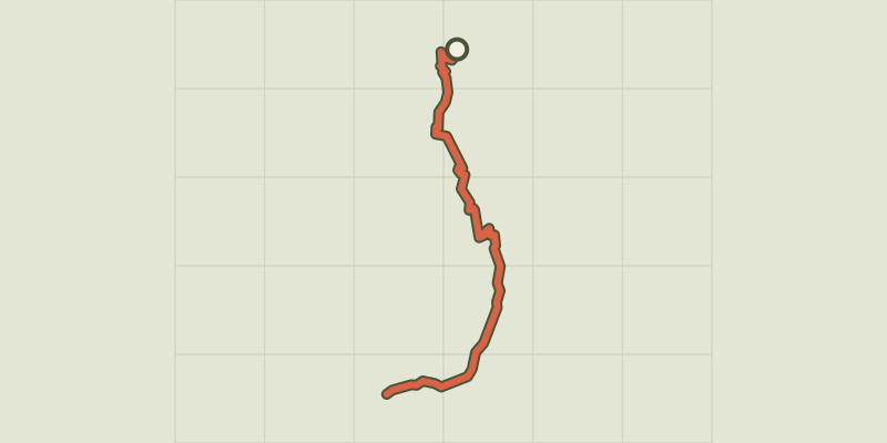 Plan IGN © IGN 2026Le Col des Terres Blanches from DormillouseÉcrins, Freissinières (05) · Out and backOfficial rating by Parc national des Écrins
 Plan IGN © IGN 2026Col des Terres Blanches from PrapicÉcrins, Orcières (05) · Out and backOfficial rating by Parc national des Écrins
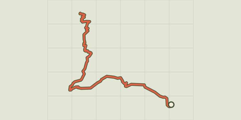 Plan IGN © IGN 2026Tourettes Mountain PassÉcrins, Châteauroux-les-Alpes (05) · Out and backOfficial rating by Parc national des Écrins
 Plan IGN © IGN 2026Le Col du ChardonnetProvence-Alpes-Côte d'Azur, Névache (05) · Out and backOfficial rating by Parc national des Écrins
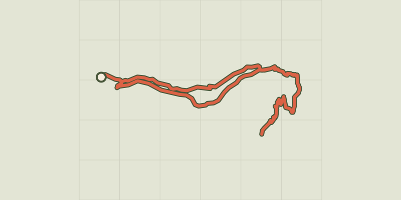 Plan IGN © IGN 2026Col du Cheval de BoisÉcrins, Champoléon (05) · LoopOfficial rating by Parc national des Écrins
 Plan IGN © IGN 2026Le col du Granon par les TronchetsProvence-Alpes-Côte d'Azur, Saint-Chaffrey (05) · LoopOfficial rating by Parc national des Écrins
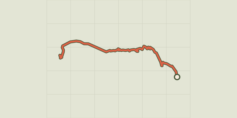 Plan IGN © IGN 2026Le col du Granon par Val-des-PrésProvence-Alpes-Côte d'Azur, Val-des-Prés (05) · Out and backOfficial rating by Parc national des Écrins

 Plan IGN © IGN 2026Le Col LebrautProvence-Alpes-Côte d'Azur, Chorges (05) · LoopOfficial rating by Parc national des Écrins
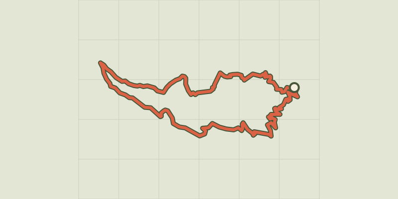 Plan IGN © IGN 2026Le Col Salidès par Saint-André de ValborgneCévennes, Saint-André-de-Valborgne (30) · LoopOfficial rating by Parc national des Cévennes
 Plan IGN © IGN 2026Le ColletPays de la Loire, Les Moutiers-en-Retz (44) · LoopOfficial rating by Département de Loire-Atlantique
 Plan IGN © IGN 2026 · track © OpenStreetMapLe ColombierHauts-de-France, Quend (80) · Loop
 Plan IGN © IGN 2026Le ColombyHaut-Jura, Gex (01) · LoopOfficial rating by Département de l'Ain
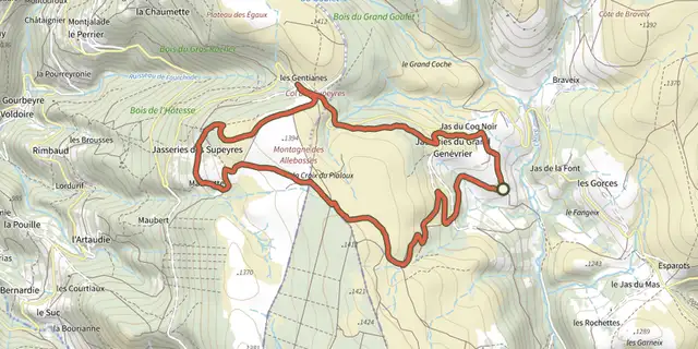 Plan IGN © IGN 2026Le Colporteur des JasseriesAuvergne, Saint-Anthème (63) · Loop
 Plan IGN © IGN 2026Le ColvertPays de la Loire, La Chapelle-des-Marais (44) · LoopOfficial rating by Département de Loire-Atlantique
 Plan IGN © IGN 2026 · track © OpenStreetMapLe Coq RougeHauts-de-France, Campagne-lès-Boulonnais (62) · Point to point
 Plan IGN © IGN 2026Le Coteau du Mesnil SoleilNormandy, Damblainville (14) · Loop
 Plan IGN © IGN 2026Le Coupe GorgeNormandy, Mutrécy (14) · Loop
 Plan IGN © IGN 2026CourpatasCévennes, Sumène (30) · LoopOfficial rating by Parc national des Cévennes
 Plan IGN © IGN 2026Le CrestAuvergne, Chanonat (63) · Loop
 Plan IGN © IGN 2026Le Creux de- 'OuletteAuvergne, Saillant (63) · Loop
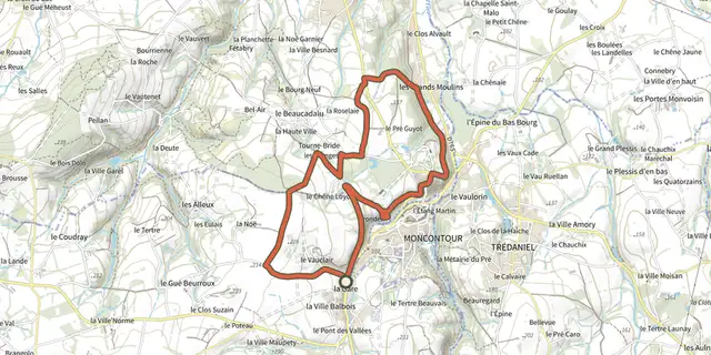 Plan IGN © IGN 2026Le cri de la chouetteBrittany, Plémy (22) · LoopOfficial rating by Département des Côtes d'Armor