
Traces GPX en France (page 194)
7 609 traces GPX en France, avec distance, dénivelé et durée pour chaque trace. Choisissez une région sur la carte, puis filtrez par département, sport, distance, dénivelé et durée.
Toutes les traces GPX en France
Discipline : Toutes les disciplines

 Plan IGN © IGN 2026Le col des FossesCévennes, Saint-Roman-de-Codières (30) · BoucleCotation officielle selon Parc national des Cévennes
 Plan IGN © IGN 2026Le col des PeygusProvence-Alpes-Côte d'Azur, Cervières (05) · Aller-retourCotation officielle selon Parc national des Écrins
 Plan IGN © IGN 2026Le col des PradeauxAuvergne, Grandrif (63) · Boucle
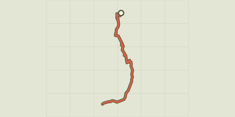 Plan IGN © IGN 2026Le col des Terres Blanches depuis DormillouseÉcrins, Freissinières (05) · Aller-retourCotation officielle selon Parc national des Écrins
 Plan IGN © IGN 2026Le col des Terres Blanches depuis PrapicÉcrins, Orcières (05) · Aller-retourCotation officielle selon Parc national des Écrins
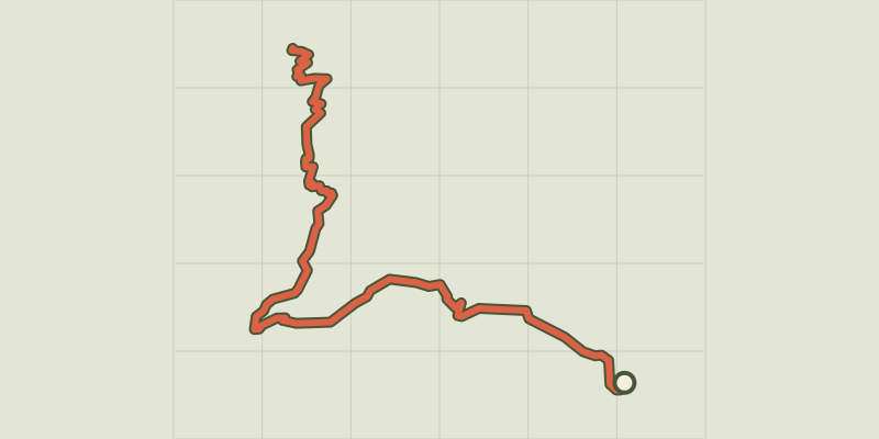 Plan IGN © IGN 2026Le col des TourettesÉcrins, Châteauroux-les-Alpes (05) · Aller-retourCotation officielle selon Parc national des Écrins
 Plan IGN © IGN 2026Le Col du ChardonnetProvence-Alpes-Côte d'Azur, Névache (05) · Aller-retourCotation officielle selon Parc national des Écrins
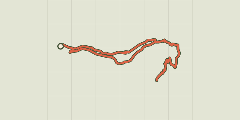 Plan IGN © IGN 2026Le col du cheval de boisÉcrins, Champoléon (05) · BoucleCotation officielle selon Parc national des Écrins
 Plan IGN © IGN 2026Le col du Granon par les TronchetsProvence-Alpes-Côte d'Azur, Saint-Chaffrey (05) · BoucleCotation officielle selon Parc national des Écrins
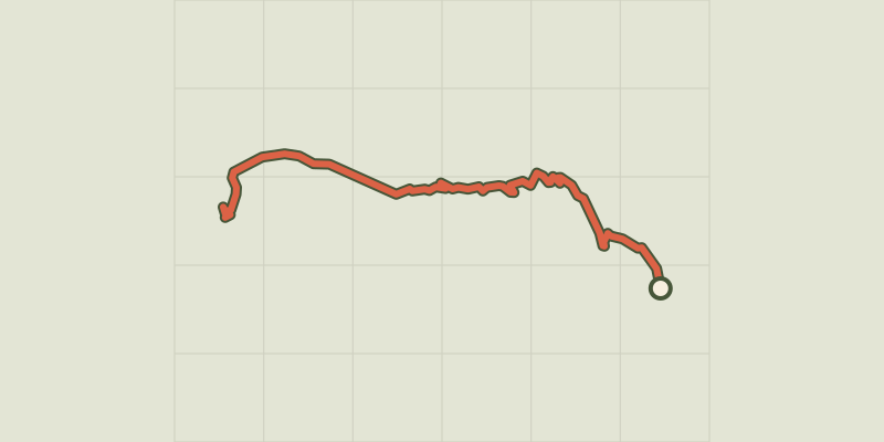 Plan IGN © IGN 2026Le col du Granon par Val-des-PrésProvence-Alpes-Côte d'Azur, Val-des-Prés (05) · Aller-retourCotation officielle selon Parc national des Écrins

 Plan IGN © IGN 2026Le col LebrautProvence-Alpes-Côte d'Azur, Chorges (05) · BoucleCotation officielle selon Parc national des Écrins
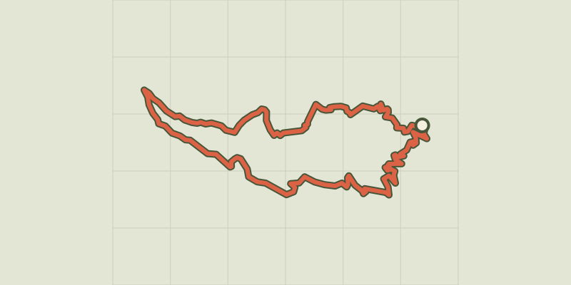 Plan IGN © IGN 2026Le Col Salidès par Saint-André de ValborgneCévennes, Saint-André-de-Valborgne (30) · BoucleCotation officielle selon Parc national des Cévennes
 Plan IGN © IGN 2026Le ColletPays de la Loire, Les Moutiers-en-Retz (44) · BoucleCotation officielle selon Département de Loire-Atlantique
 Plan IGN © IGN 2026 · tracé © OpenStreetMapLe ColombierHauts-de-France, Quend (80) · Boucle
 Plan IGN © IGN 2026Le ColombyHaut-Jura, Gex (01) · BoucleCotation officielle selon Département de l'Ain
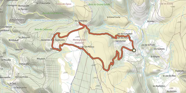 Plan IGN © IGN 2026Le Colporteur des JasseriesAuvergne, Saint-Anthème (63) · Boucle
 Plan IGN © IGN 2026Le ColvertPays de la Loire, La Chapelle-des-Marais (44) · BoucleCotation officielle selon Département de Loire-Atlantique
 Plan IGN © IGN 2026 · tracé © OpenStreetMapLe Coq RougeHauts-de-France, Campagne-lès-Boulonnais (62) · Traversée
 Plan IGN © IGN 2026Le Coteau du Mesnil SoleilNormandie, Damblainville (14) · Boucle
 Plan IGN © IGN 2026Le Coupe GorgeNormandie, Mutrécy (14) · Boucle
 Plan IGN © IGN 2026Le CourpatasCévennes, Sumène (30) · BoucleCotation officielle selon Parc national des Cévennes
 Plan IGN © IGN 2026Le CrestAuvergne, Chanonat (63) · Boucle
 Plan IGN © IGN 2026Le Creux de- 'OuletteAuvergne, Saillant (63) · Boucle
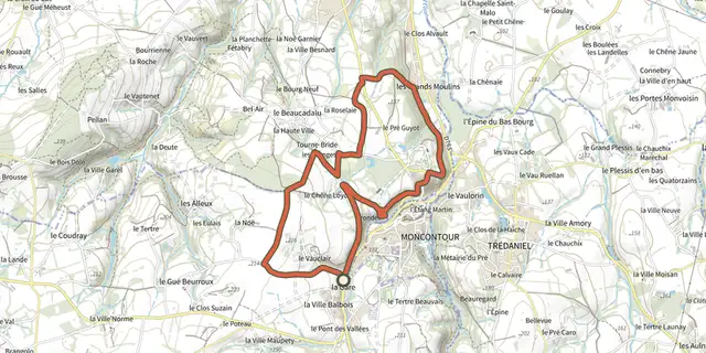 Plan IGN © IGN 2026Le cri de la chouetteBretagne, Plémy (22) · BoucleCotation officielle selon Département des Côtes d'Armor