
GPX tracks in France (page 183)
7,609 GPX tracks in France, with distance, elevation gain and time for each track. Pick a region on the map, then filter by department, sport, distance, elevation gain and time.
All GPX tracks in France
Activity : All activities

 Plan IGN © IGN 2026 · track © OpenStreetMapLac de DarbonAuvergne-Rhône-Alpes, La Chapelle-d'Abondance (74) · Point to point
 Plan IGN © IGN 2026Lac de l'HivernetÉcrins, Embrun (05) · LoopOfficial rating by Parc national des Écrins
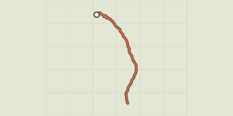 Plan IGN © IGN 2026Lac de l'Orceyrette depuis le Centre MontagneProvence-Alpes-Côte d'Azur, Villar-Saint-Pancrace (05) · Out and backOfficial rating by Parc national des Écrins
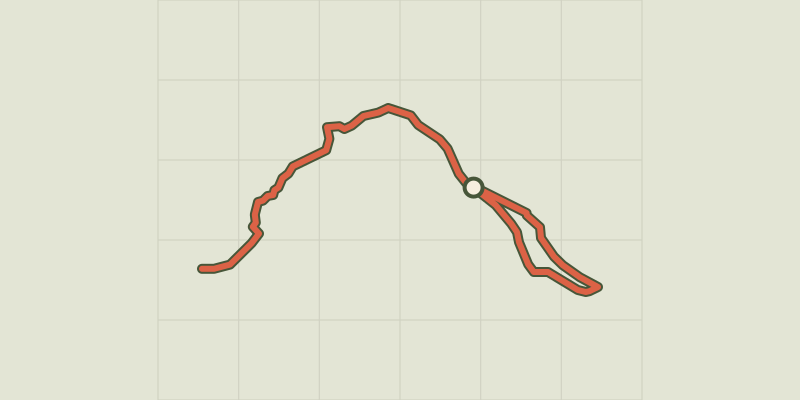 Plan IGN © IGN 2026 · track © OpenStreetMapLac de l'Oronaye et col de RoburentProvence-Alpes-Côte d'Azur, Val d'Oronaye (04) · Point to point
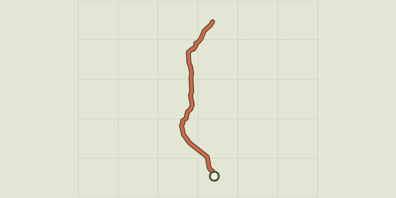 Plan IGN © IGN 2026Lac de l’OuleProvence-Alpes-Côte d'Azur, Saint-Chaffrey (05) · Out and backOfficial rating by Parc national des Écrins
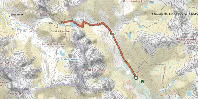 Plan IGN © IGN 2026Lac de la Clarée, Lac Rond et Lac du Grand BanProvence-Alpes-Côte d'Azur, Névache (05) · Out and backOfficial rating by Parc national des Écrins
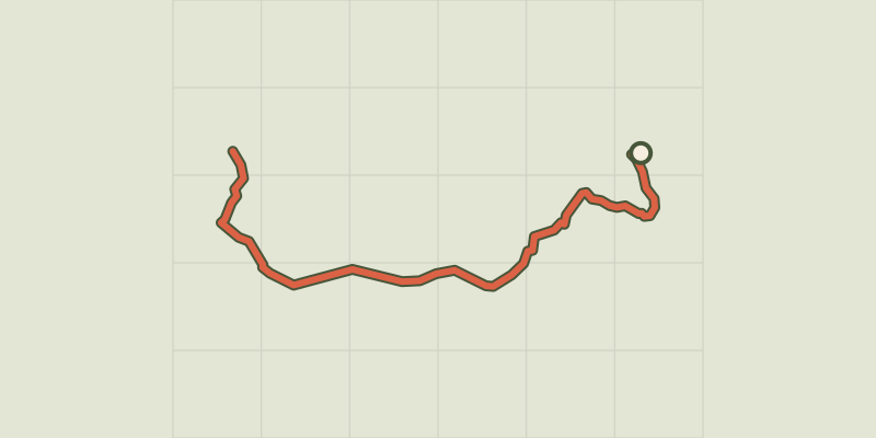 Plan IGN © IGN 2026Lac de la Mine et anciennes mines du ChardonnetProvence-Alpes-Côte d'Azur, Névache (05) · Out and backOfficial rating by Parc national des Écrins
 Plan IGN © IGN 2026Lac de PormenazChamonix-Mont-Blanc, Servoz (74) · Point to point
 Plan IGN © IGN 2026 · track © OpenStreetMapLac de Pouey-LaünPyrenees, Arrens-Marsous (65) · Point to point
 Plan IGN © IGN 2026Lac de RemorayHaut-Jura, Labergement-Sainte-Marie (25) · LoopOfficial rating by Département du Doubs
 Plan IGN © IGN 2026Lac de Remoray et FourperetHaut-Jura, Longevilles-Mont-d'Or (25) · LoopOfficial rating by Département du Doubs
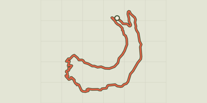 Plan IGN © IGN 2026Saint-Apollinaire lakeÉcrins, Réallon (05) · LoopOfficial rating by Parc national des Écrins
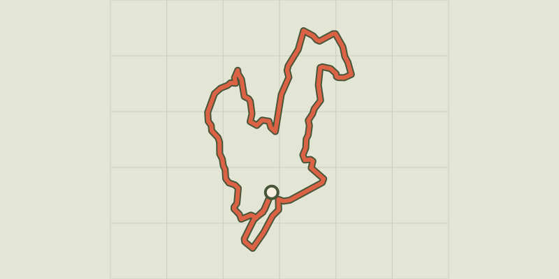 Plan IGN © IGN 2026Lac du SiguretProvence-Alpes-Côte d'Azur, Saint-André-d'Embrun (05) · LoopOfficial rating by Parc national des Écrins
 Plan IGN © IGN 2026Lac de St AgnanMorvan, Saint-Agnan-en-Morvan (58) · Loop
 Plan IGN © IGN 2026 · track © OpenStreetMapLac de Suyen et refuge de LarribetPyrenees, Arrens-Marsous (65) · Point to point
 Plan IGN © IGN 2026Villefort LakeCévennes, Villefort (48) · LoopOfficial rating by Parc national des Cévennes
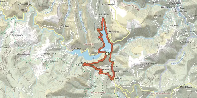
 Plan IGN © IGN 2026Lac de Villefort - Trail n° 1Cévennes, Villefort (48) · LoopOfficial rating by Parc national des Cévennes
 Plan IGN © IGN 2026Lac de VioreauPays de la Loire, Joué-sur-Erdre (44) · LoopOfficial rating by Département de Loire-Atlantique
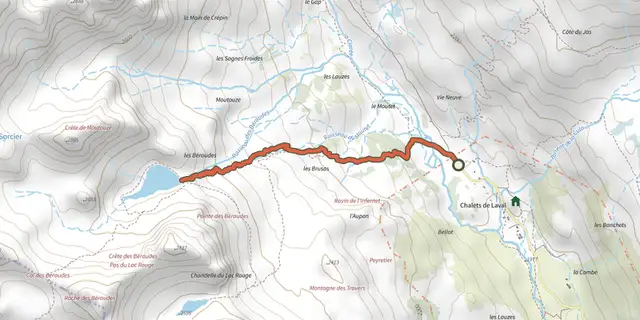 Plan IGN © IGN 2026Lac des BeraudesProvence-Alpes-Côte d'Azur, Névache (05) · Out and backOfficial rating by Parc national des Écrins
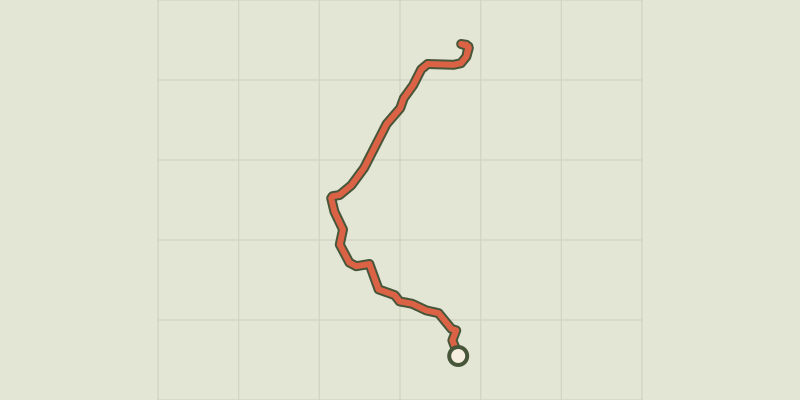 Plan IGN © IGN 2026Lac des ChiensProvence-Alpes-Côte d'Azur, Cervières (05) · Out and backOfficial rating by Parc national des Écrins
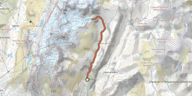 Plan IGN © IGN 2026Lake QuirliesÉcrins, Clavans-en-Haut-Oisans (38) · Out and backOfficial rating by Parc national des Écrins
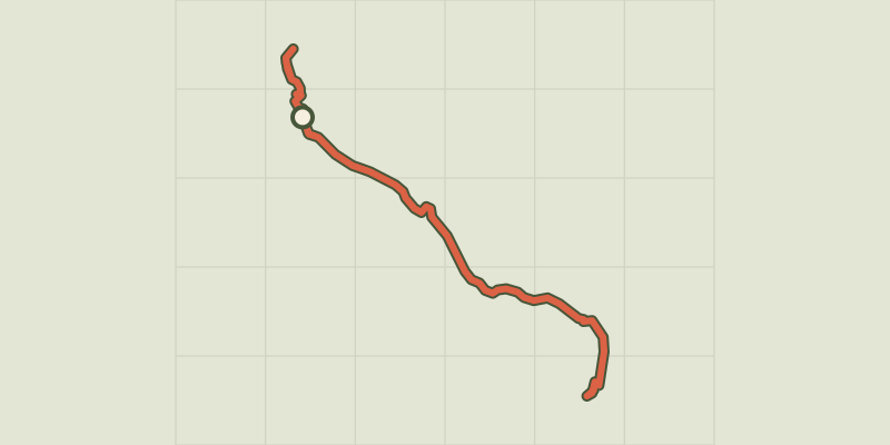 Plan IGN © IGN 2026Lac des SaraillesProvence-Alpes-Côte d'Azur, Cervières (05) · LoopOfficial rating by Parc national des Écrins
 Plan IGN © IGN 2026Lac du CrachetProvence-Alpes-Côte d'Azur, Crévoux (05) · Out and backOfficial rating by Parc national des Écrins
 Plan IGN © IGN 2026Lac du Goléon depuis les HièresÉcrins, La Grave (05) · Out and backOfficial rating by Parc national des Écrins