
GPX tracks in France (page 182)
7,609 GPX tracks in France, with distance, elevation gain and time for each track. Pick a region on the map, then filter by department, sport, distance, elevation gain and time.
All GPX tracks in France
Activity : All activities
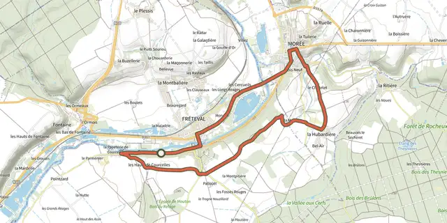
 Plan IGN © IGN 2026La vigie du LoirCentre-Val de Loire, Fréteval (41) · Loop

 Plan IGN © IGN 2026La VigneNormandy, Culey-le-Patry (14) · Loop
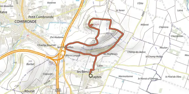 Plan IGN © IGN 2026La vigne du Puy de l'OuleAuvergne, Beauregard-Vendon (63) · Loop

 Plan IGN © IGN 2026La Violette n° 47Bourgogne-Franche-Comté, Pierrefontaine-les-Varans (25) · LoopOfficial rating by Département du Doubs
 Plan IGN © IGN 2026La VisadeAuvergne, Égliseneuve-d'Entraigues (63) · Loop
 Plan IGN © IGN 2026 · track © OpenStreetMapLa Voie BertrandVosges, Combrimont (88) · Point to point
 Plan IGN © IGN 2026La voie d'AgrippaAuvergne, Voingt (63) · Loop
 Plan IGN © IGN 2026La Voie dite Romaine et le Bois de RegheatAuvergne, Pionsat (63) · Loop
 Plan IGN © IGN 2026La voie du tacot - n° 30Bourgogne-Franche-Comté, Maîche (25) · LoopOfficial rating by Département du Doubs
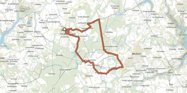 Plan IGN © IGN 2026La voie romaineBrittany, Trébédan (22) · LoopOfficial rating by Département des Côtes d'Armor
 Plan IGN © IGN 2026La voie romaineNormandy, Condé-en-Normandie (14) · Loop
 Plan IGN © IGN 2026 · track © OpenStreetMapLa Voie RomaineAuvergne-Rhône-Alpes, Vaugneray (69) · Loop
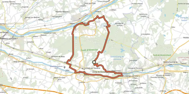 Plan IGN © IGN 2026La voie royaleCentre-Val de Loire, La Croix-en-Touraine (37) · Loop
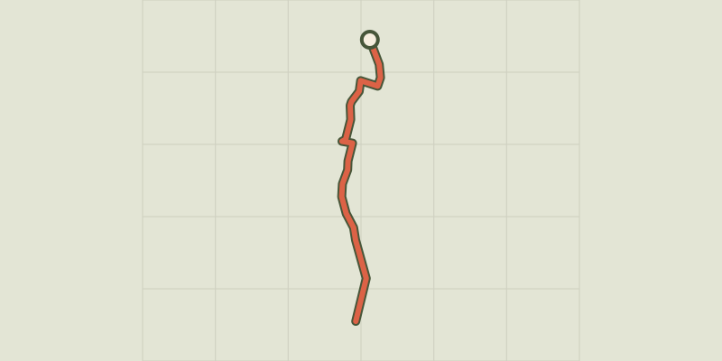 Plan IGN © IGN 2026The L’Argentière-la-Bessée green route ("Voie Verte")Écrins, L'Argentière-la-Bessée (05) · Out and backOfficial rating by Parc national des Écrins
 Plan IGN © IGN 2026The Puy Saint-Vincent green route ("Voie Verte")Écrins, Puy-Saint-Vincent (05) · Out and backOfficial rating by Parc national des Écrins
 Plan IGN © IGN 2026La Vouivre à la traceBourgogne-Franche-Comté, Chenecey-Buillon (25) · LoopOfficial rating by Département du Doubs
 Plan IGN © IGN 2026The Liou wetlandÉcrins, Baratier (05) · Out and backOfficial rating by Parc national des Écrins
 Plan IGN © IGN 2026 · track © OpenStreetMapLabastide-Castel-Amouroux à ciel ouvert - 17.7 kmNouvelle-Aquitaine, Labastide-Castel-Amouroux (47) · Loop
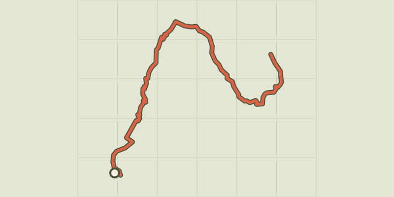 Plan IGN © IGN 2026Lake BrunÉcrins, Réallon (05) · Out and backOfficial rating by Parc national des Écrins
 Plan IGN © IGN 2026Lac ChambonAuvergne, Chambon-sur-Lac (63) · Loop
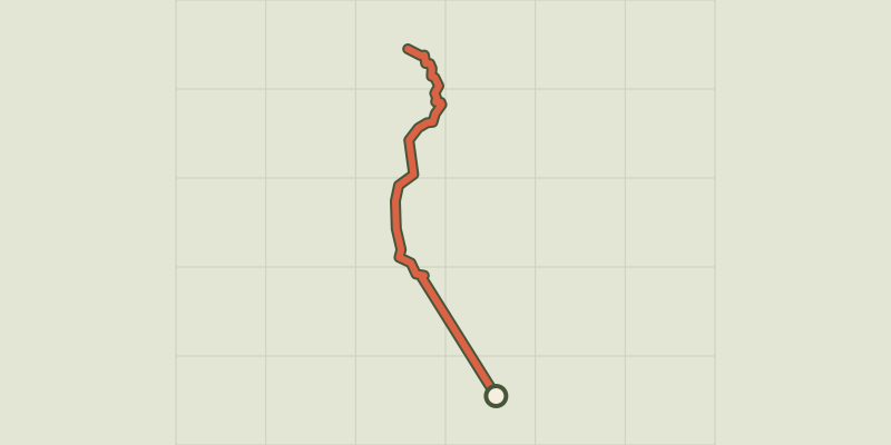 Plan IGN © IGN 2026 · track © OpenStreetMapLac CornuChamonix-Mont-Blanc, Chamonix-Mont-Blanc (74) · Point to point
 Plan IGN © IGN 2026Lac de BouveransBourgogne-Franche-Comté, Bouverans (25) · Out and backOfficial rating by Département du Doubs
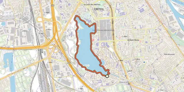 Plan IGN © IGN 2026 · track © OpenStreetMapLac de CréteilÎle-de-France, Créteil (94) · Loop
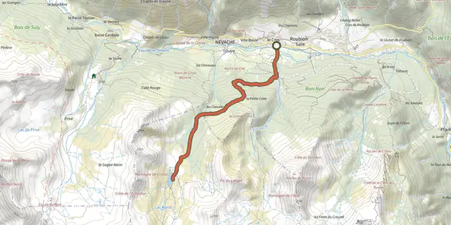 Plan IGN © IGN 2026Lac de CristolProvence-Alpes-Côte d'Azur, Névache (05) · Out and backOfficial rating by Parc national des Écrins