
Hiking GPX tracks in Occitanie
377 GPX tracks in Occitanie, with distance, elevation gain and time for each track. Filter by department, sport, distance, elevation gain and time.
Departments in Occitanie
Filter the list below by department.
Regions
Pick a region on the map or below. Grey regions have no tracks yet.
Mountain ranges
Pick a mountain range on the map or below: all its tracks, whatever the region.
All GPX tracks in Occitanie


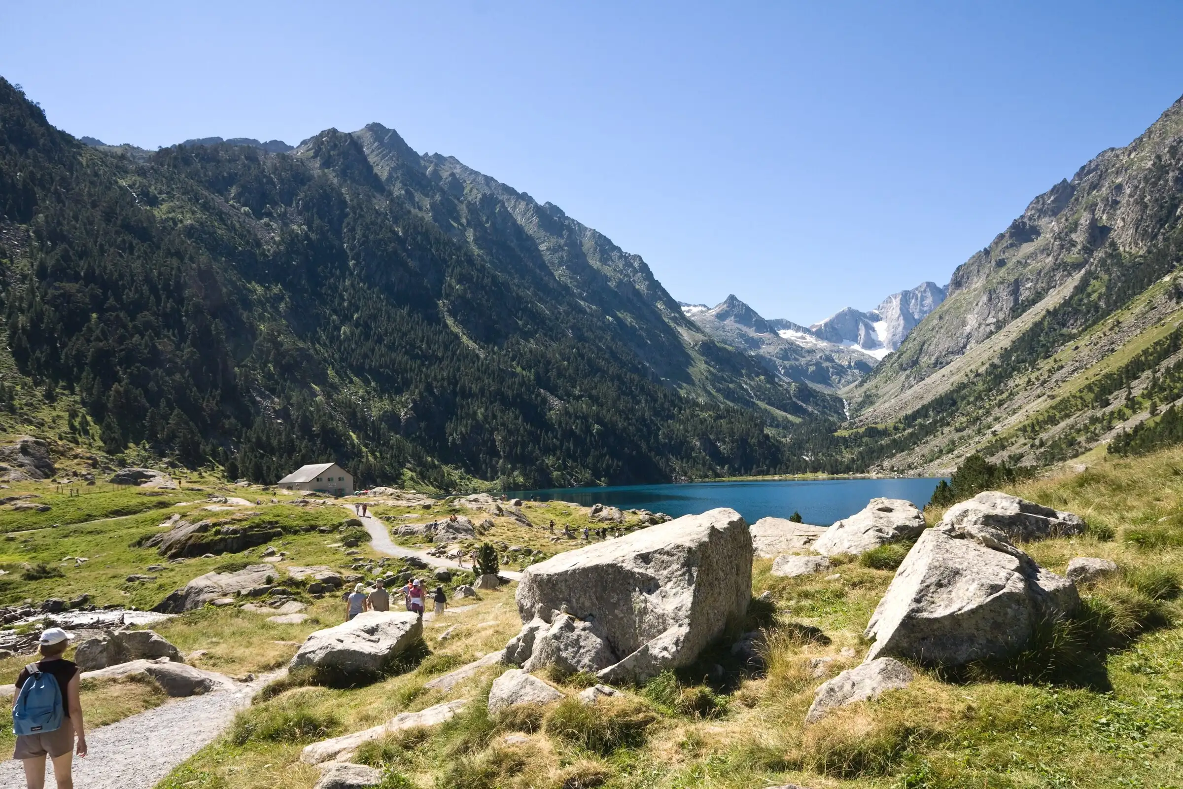
 Lac de Gaube from Pont d'EspagnePyrenees, Cauterets (65) · Out and backOfficial rating by Vallées de Gavarnie (fiche Geotrek de la CC Pyrénées Vallées des Gaves)
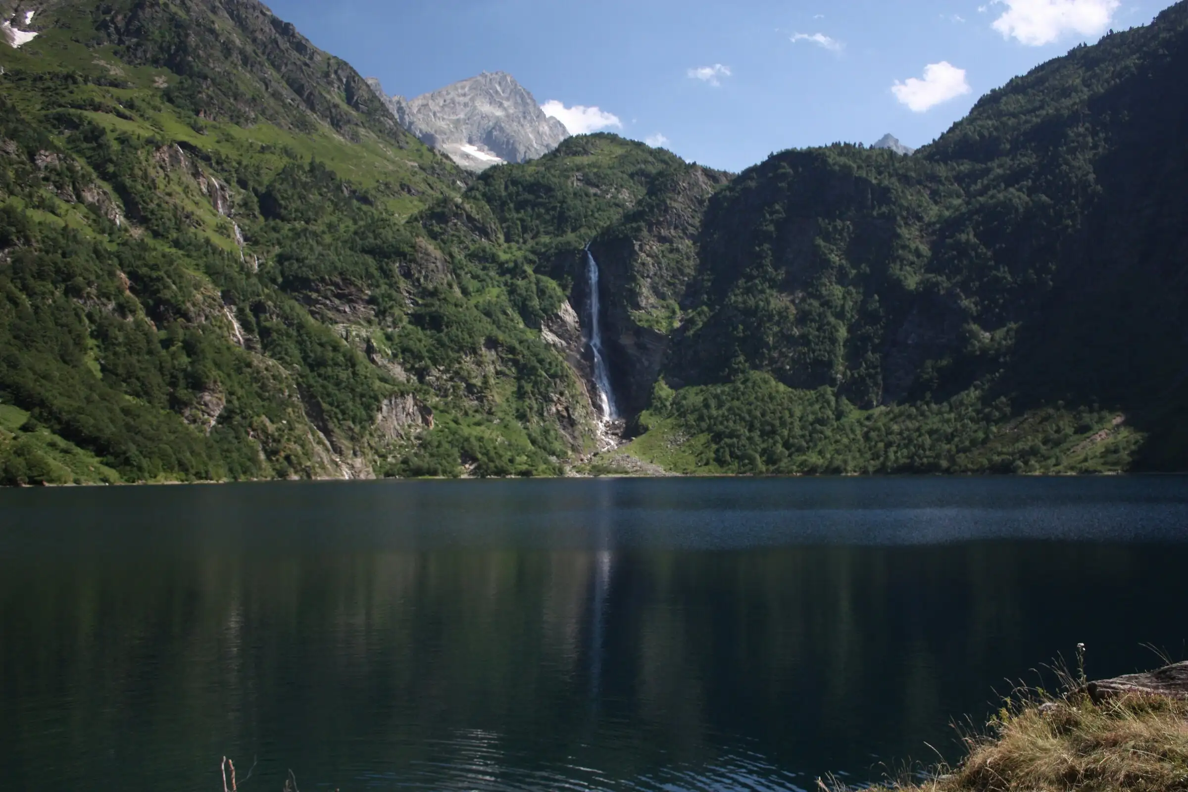 Lac d'Oô from Granges d'AstauPyrenees, Oô (31) · Out and backOfficial rating by Haute-Garonne Tourisme (fiche 41, le lac d'Oô)
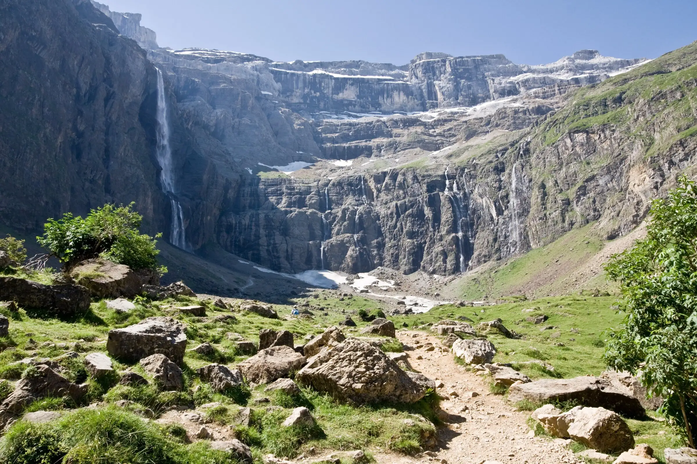 Cirque de Gavarnie via the Espugues ledge pathPyrenees, Gavarnie-Gèdre (65) · LoopOfficial rating by Vallées de Gavarnie (fiche Geotrek de la CC Pyrénées Vallées des Gaves)
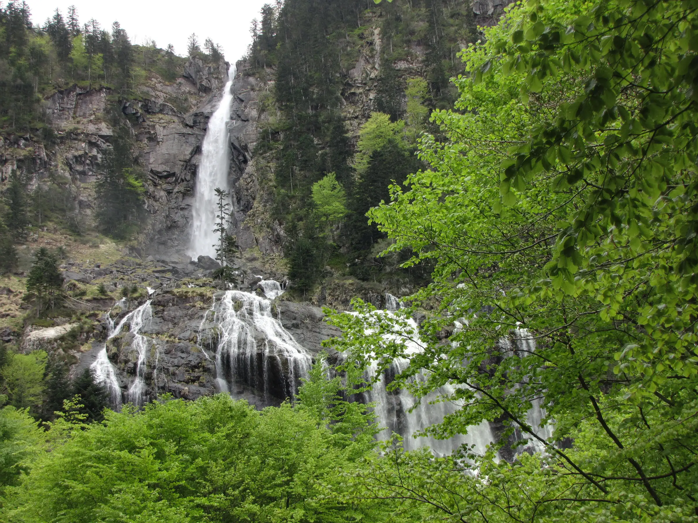 Cascade d'Ars from Aulus-les-BainsPyrenees, Aulus-les-Bains (09) · Out and backOfficial rating by CRT Occitanie (seule fiche randonnée officielle trouvée ; la fiche de l'office du Couserans est une fiche trail sans cotation)
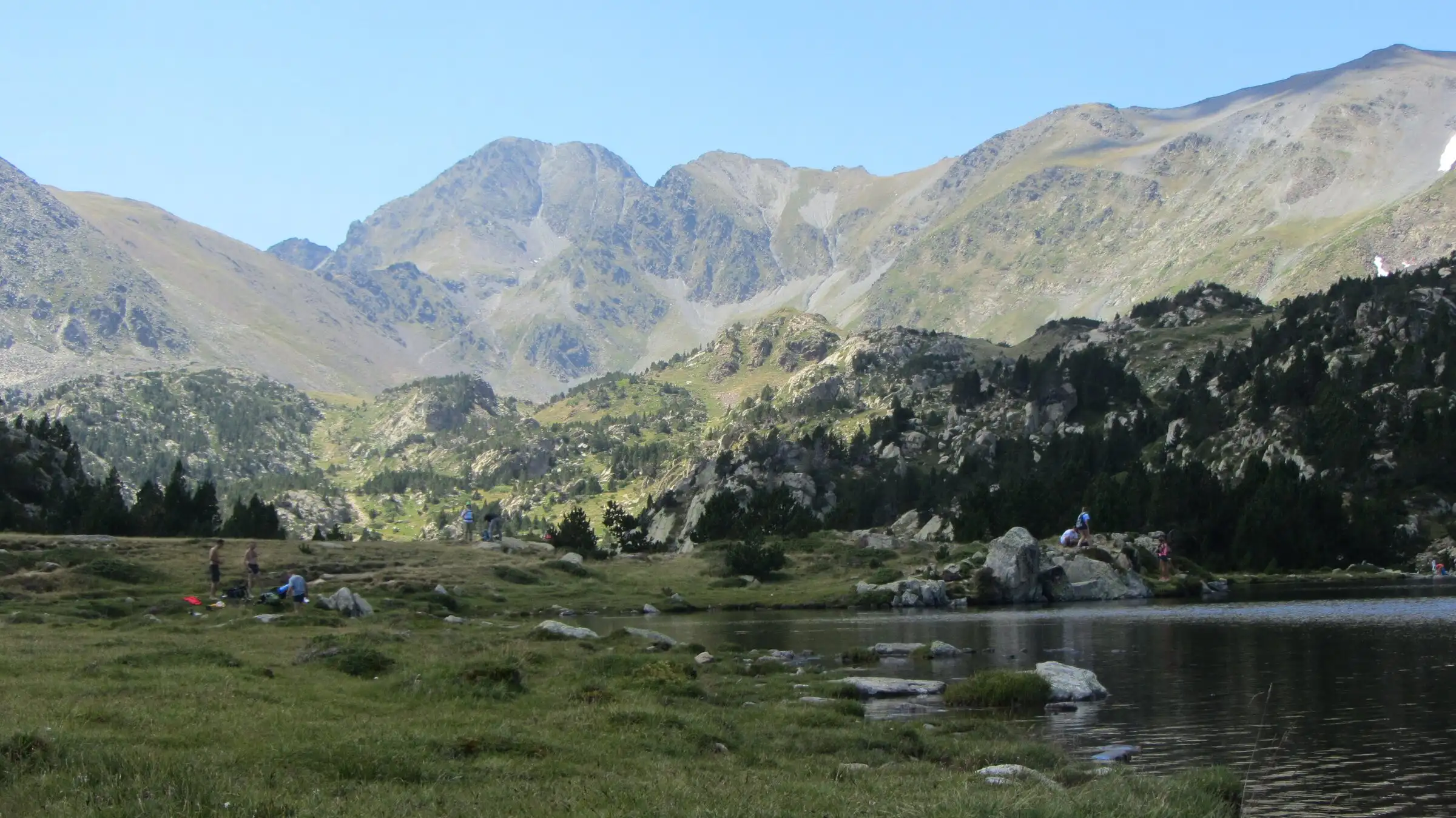 Carlit lakes loop (9 lakes)Pyrenees, Font-Romeu-Odeillo-Via (66) · LoopOfficial rating by Département des Pyrénées-Orientales (brochure des Bouillouses)
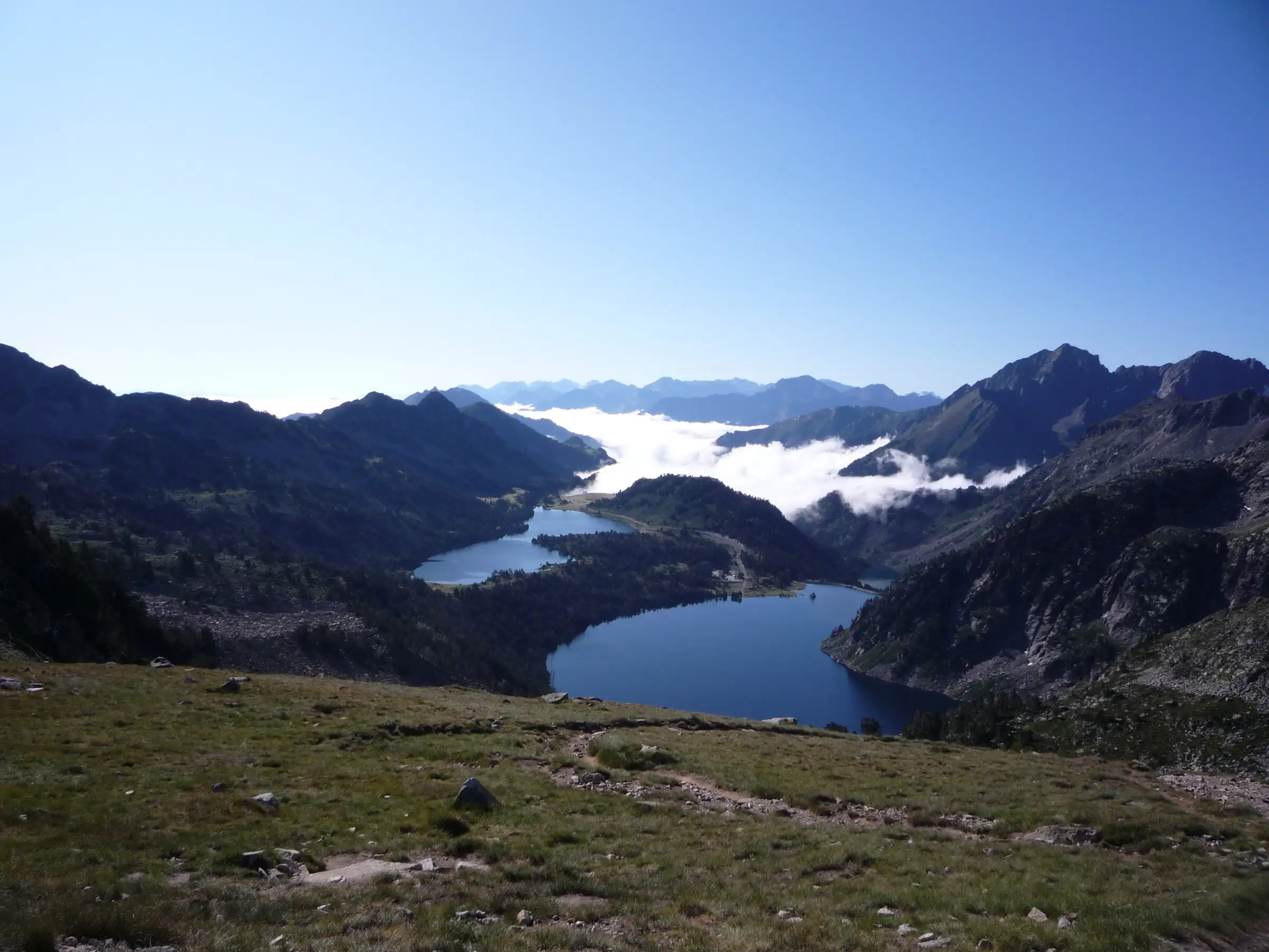 Néouvielle lakes via the Col d'EstoudouPyrenees, Saint-Lary-Soulan / Aragnouet (65) · LoopOfficial rating by Office de tourisme de Piau-Engaly (fiche Geotrek Hautes-Pyrénées)
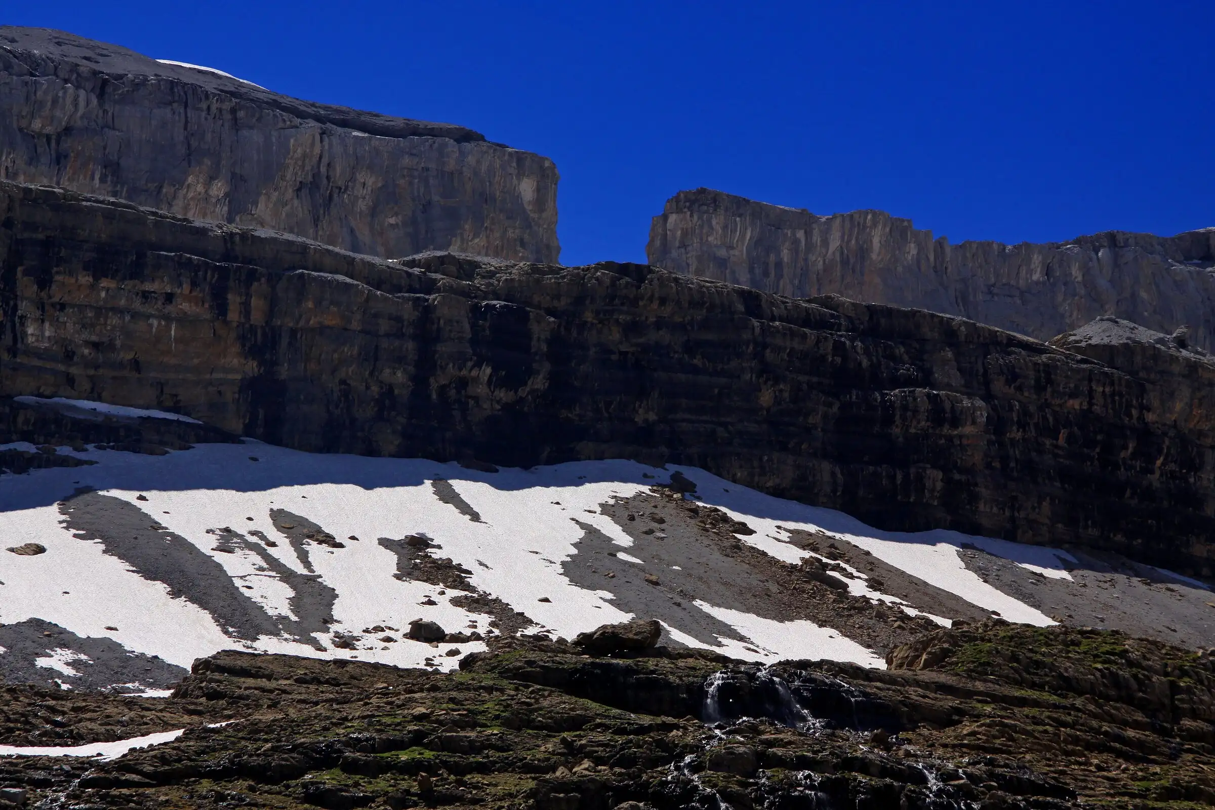 Brèche de Roland from the Col des TentesPyrenees, Gavarnie-Gèdre (65) · Out and backOfficial rating by Vallées de Gavarnie (fiche Geotrek de la CC Pyrénées Vallées des Gaves)
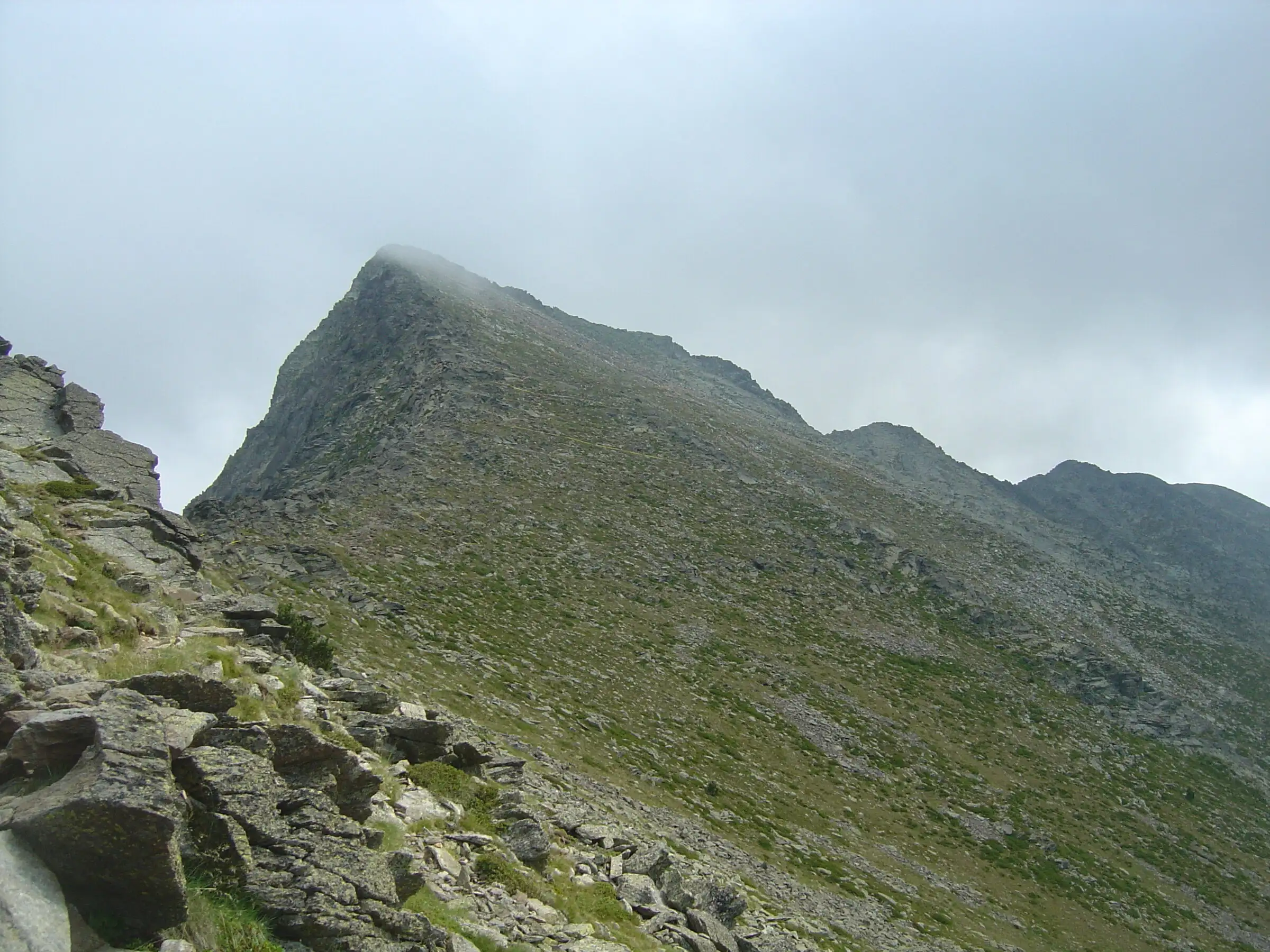 Pic du Canigou via the CortaletsPyrenees, Estoher (66) · Out and backOfficial rating by Office de tourisme Conflent Canigó
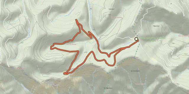 Plan IGN © IGN 2026Aire-de-CôteCévennes, Bassurels (48) · LoopOfficial rating by Parc national des Cévennes
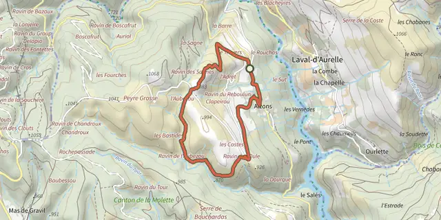 Plan IGN © IGN 2026AlzonsOccitanie, Prévenchères (48) · LoopOfficial rating by Parc national des Cévennes
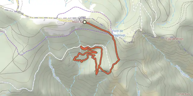 Plan IGN © IGN 2026L'Hort de Dieu arboretumCévennes, Val-d'Aigoual (30) · LoopOfficial rating by Parc national des Cévennes
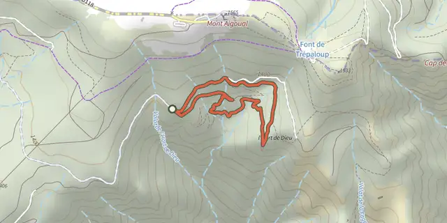 Plan IGN © IGN 2026L'Hort de Dieu arboretum, shortCévennes, Val-d'Aigoual (30) · LoopOfficial rating by Parc national des Cévennes
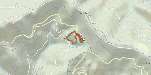 Plan IGN © IGN 2026Arborétum de La FouxCévennes, Lanuéjols (30) · LoopOfficial rating by Parc national des Cévennes
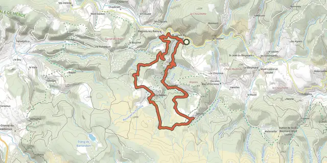 Plan IGN © IGN 2026The Clochers de Tourmente (Blizzard belltowers)Cévennes, Mont Lozère et Goulet (48) · LoopOfficial rating by Parc national des Cévennes
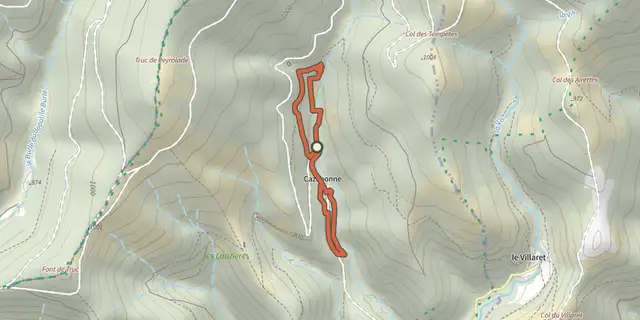 Plan IGN © IGN 2026Around CazebonneCévennes, Alzon (30) · LoopOfficial rating by Parc national des Cévennes
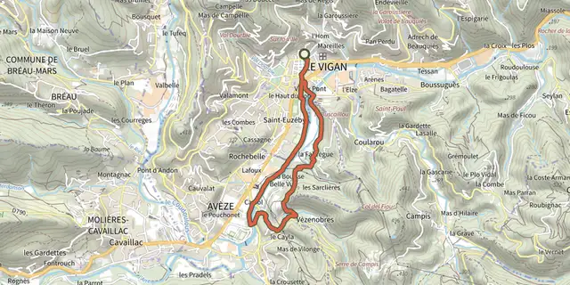 Plan IGN © IGN 2026By the River ArreCévennes, Le Vigan (30) · LoopOfficial rating by Parc national des Cévennes
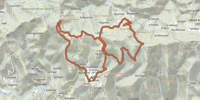 Plan IGN © IGN 2026Around Les AigladinesCévennes, Mialet (30) · LoopOfficial rating by Parc national des Cévennes
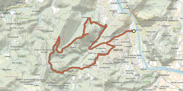 Plan IGN © IGN 2026Around Le CapelanCévennes, Anduze (30) · LoopOfficial rating by Parc national des Cévennes
 Plan IGN © IGN 2026 · track © OpenStreetMapAutour du vallon des PontilsOccitanie, Blauzac (30) · Loop
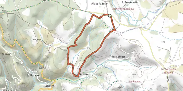 Plan IGN © IGN 2026A walk in Menhir CountryCévennes, Saint-Étienne-du-Valdonnez (48) · LoopOfficial rating by Parc national des Cévennes
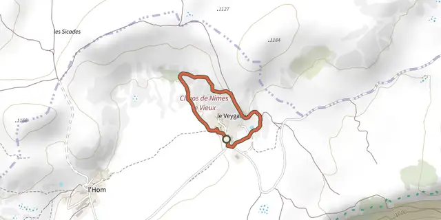 Plan IGN © IGN 2026Balade autour de Nîmes le vieux - variante courteCévennes, Fraissinet-de-Fourques (48) · LoopOfficial rating by Parc national des Cévennes
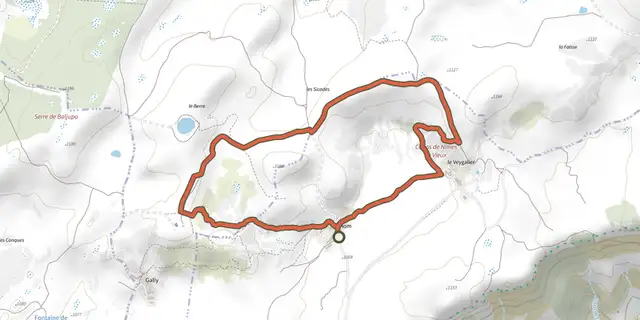 Plan IGN © IGN 2026Nîmes-le-VieuxCévennes, Fraissinet-de-Fourques (48) · LoopOfficial rating by Parc national des Cévennes
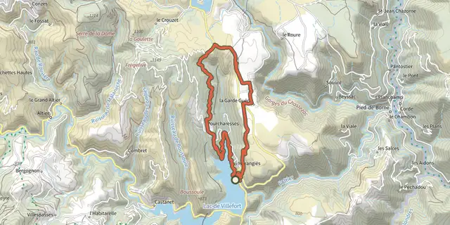 Plan IGN © IGN 2026The cliffs of PourcharessesCévennes, Villefort (48) · LoopOfficial rating by Parc national des Cévennes
 Plan IGN © IGN 2026Baousse del BielCévennes, Massegros Causses Gorges (48) · LoopOfficial rating by Parc national des Cévennes