
MTB GPX tracks in Nouvelle-Aquitaine
87 GPX tracks in Nouvelle-Aquitaine, with distance, elevation gain and time for each track. Filter by department, sport, distance, elevation gain and time.
Departments in Nouvelle-Aquitaine
Filter the list below by department.
Regions
Pick a region on the map or below. Grey regions have no tracks yet.
Mountain ranges
Pick a mountain range on the map or below: all its tracks, whatever the region.
All GPX tracks in Nouvelle-Aquitaine


 Plan IGN © IGN 2026 · track © OpenStreetMapAu Long des LavoirsNouvelle-Aquitaine, Collonges-la-Rouge (19) · Loop
 Plan IGN © IGN 2026 · track © OpenStreetMapBallade des PuysNouvelle-Aquitaine, Clergoux (19) · Loop
 Plan IGN © IGN 2026 · track © OpenStreetMapBoucle Biron,Maslacq,CastetnerNouvelle-Aquitaine, Biron (64) · Loop
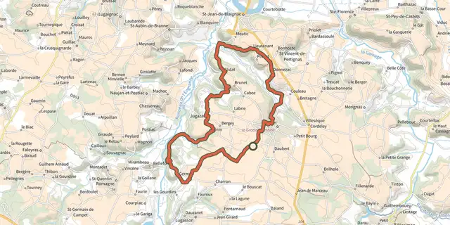 Plan IGN © IGN 2026 · track © OpenStreetMapBoucle des VaillantsNouvelle-Aquitaine, Jugazan (33) · Loop
 Plan IGN © IGN 2026 · track © OpenStreetMapCêpes et ChataîgnesNouvelle-Aquitaine, Clergoux (19) · Loop
 Plan IGN © IGN 2026 · track © OpenStreetMapChambon Station Circuit n°5 VTTNouvelle-Aquitaine, Écuras (16) · Loop
 Plan IGN © IGN 2026 · track © OpenStreetMapChambon Station Circuit n°7 VTTPérigord, Varaignes (24) · Loop
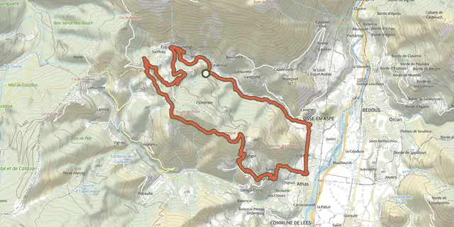 Plan IGN © IGN 2026 · track © OpenStreetMapChemin de Pirait VTT asp42Pyrenees, Osse-en-Aspe (64) · Loop
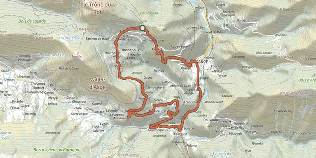 Plan IGN © IGN 2026 · track © OpenStreetMapChemins de Bosdapous VTT asp03Pyrenees, Sarrance (64) · Loop
 Plan IGN © IGN 2026 · track © OpenStreetMapChemins du Gave VTC asp13Pyrenees, Bedous (64) · Loop
 Plan IGN © IGN 2026 · track © OpenStreetMapCircuit de le BuisNouvelle-Aquitaine, Thouron (87) · Loop
 Plan IGN © IGN 2026 · track © OpenStreetMapCircuit entre Adour et ChalosseNouvelle-Aquitaine, Montfort-en-Chalosse (40) · Loop
 Plan IGN © IGN 2026 · track © OpenStreetMapCircuit Henri IVNouvelle-Aquitaine, Montrol-Sénard (87) · Loop
 Plan IGN © IGN 2026 · track © OpenStreetMapCircuit n°1 - De Saint-Paul à la GeneytouseNouvelle-Aquitaine, La Geneytouse (87) · Loop
 Plan IGN © IGN 2026 · track © OpenStreetMapCircuit n°2 - De La Geneytouse à St-Léonard-de-NoblatNouvelle-Aquitaine, Saint-Léonard-de-Noblat (87) · Loop
 Plan IGN © IGN 2026 · track © OpenStreetMapCircuit n°4 - Champnétery - Monts d'AuriatNouvelle-Aquitaine, Auriat (23) · Loop
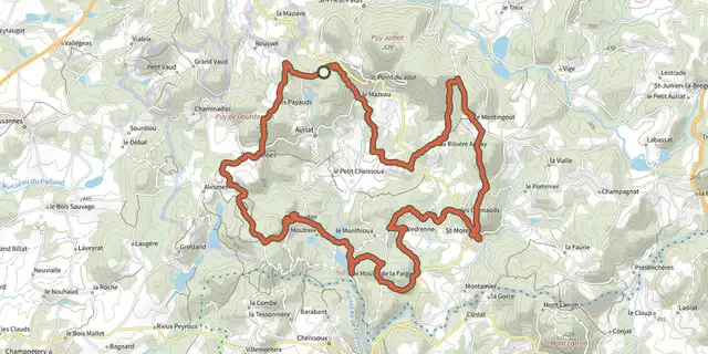 Plan IGN © IGN 2026 · track © OpenStreetMapCircuit n°5 - Saint-Moreil - Monts d'AuriatNouvelle-Aquitaine, Auriat (23) · Loop
 Plan IGN © IGN 2026 · track © OpenStreetMapCircuit n°6 - Monts d'AuriatNouvelle-Aquitaine, Auriat (23) · Loop
 Plan IGN © IGN 2026Circuit VTT 1 vertNouvelle-Aquitaine, Les Mathes (17) · LoopOfficial rating by Communauté d'agglomération Royan Atlantique
 Plan IGN © IGN 2026Circuit VTT 10 bleuNouvelle-Aquitaine, Semussac (17) · LoopOfficial rating by Communauté d'agglomération Royan Atlantique
 Plan IGN © IGN 2026Circuit VTT 11 vertNouvelle-Aquitaine, Arces (17) · LoopOfficial rating by Communauté d'agglomération Royan Atlantique
 Plan IGN © IGN 2026Circuit VTT 12 bleuNouvelle-Aquitaine, Cozes (17) · LoopOfficial rating by Communauté d'agglomération Royan Atlantique
 Plan IGN © IGN 2026Circuit VTT 13 vertNouvelle-Aquitaine, Médis (17) · LoopOfficial rating by Communauté d'agglomération Royan Atlantique
 Plan IGN © IGN 2026Circuit VTT 14 vertNouvelle-Aquitaine, Saujon (17) · LoopOfficial rating by Communauté d'agglomération Royan Atlantique