
Hiking GPX tracks in Hauts-de-France (page 9)
212 GPX tracks in Hauts-de-France, with distance, elevation gain and time for each track. Filter by department, sport, distance, elevation gain and time.
All GPX tracks in Hauts-de-France


 Plan IGN © IGN 2026 · track © OpenStreetMapSentier des PoissonniersHauts-de-France, Landrethun-le-Nord (62) · Point to point
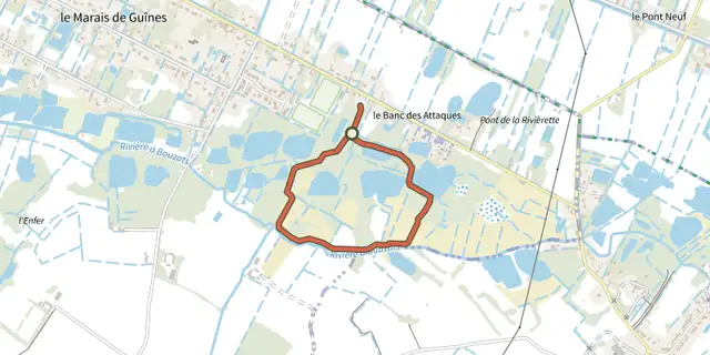 Plan IGN © IGN 2026 · track © OpenStreetMapSentier des TêtardsHauts-de-France, Guînes (62) · Loop
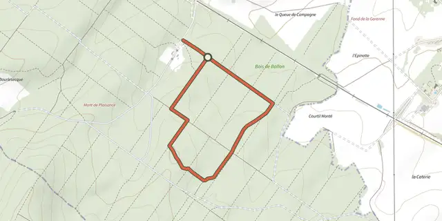 Plan IGN © IGN 2026 · track © OpenStreetMapSentier du Bois de BallonHauts-de-France, Guînes (62) · Loop
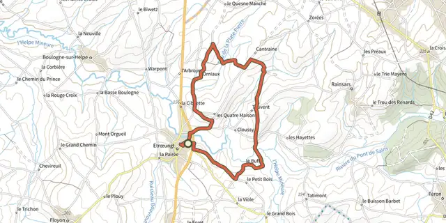 Plan IGN © IGN 2026 · track © OpenStreetMapSentier du BuffleHauts-de-France, Étrœungt (59) · Loop
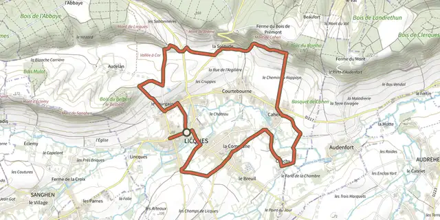 Plan IGN © IGN 2026 · track © OpenStreetMapSentier du Cah-Licqu'CoHauts-de-France, Licques (62) · Loop
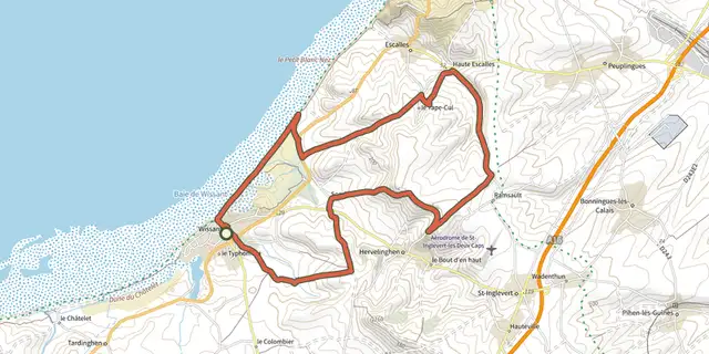 Plan IGN © IGN 2026 · track © OpenStreetMapSentier du Cap Blanc NezHauts-de-France, Wissant (62) · Loop
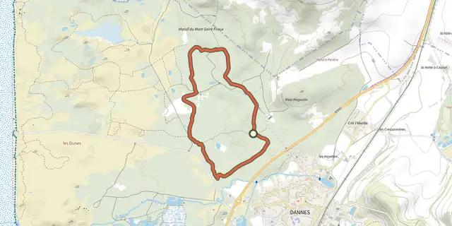 Plan IGN © IGN 2026 · track © OpenStreetMapSentier du ChablisHauts-de-France, Dannes (62) · Loop
 Plan IGN © IGN 2026 · track © OpenStreetMapSentier du DonjonHauts-de-France, Bours (62) · Loop
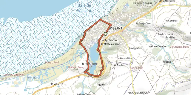 Plan IGN © IGN 2026 · track © OpenStreetMapSentier du FartzHauts-de-France, Wissant (62) · Loop
 Plan IGN © IGN 2026 · track © OpenStreetMapSentier du HalageHauts-de-France, Guînes (62) · Loop
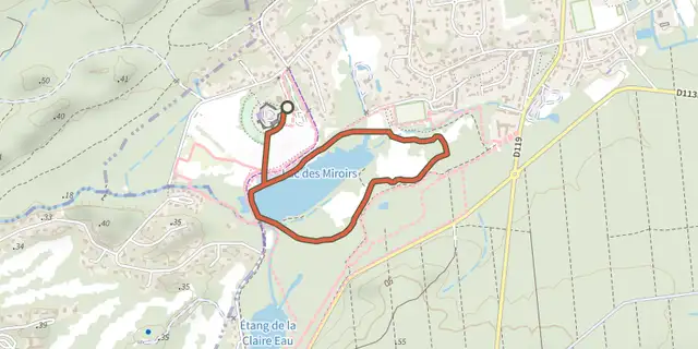 Plan IGN © IGN 2026 · track © OpenStreetMapSentier du MaraisHauts-de-France, Condette (62) · Loop
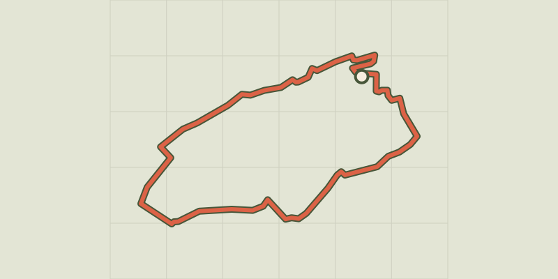 Plan IGN © IGN 2026 · track © OpenStreetMapSentier du PignoletHauts-de-France, Nédon (62) · Loop
 Plan IGN © IGN 2026 · track © OpenStreetMapSentier du TilleulHauts-de-France, Fiennes (62) · Loop
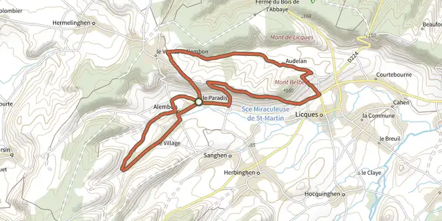 Plan IGN © IGN 2026 · track © OpenStreetMapSentier du VentuHauts-de-France, Alembon (62) · Loop
 Plan IGN © IGN 2026 · track © OpenStreetMapSentier Le BliotHauts-de-France, Anvin (62) · Loop
 Plan IGN © IGN 2026 · track © OpenStreetMapTrois Hameaux et Une MontagneHauts-de-France, Fresnoy-le-Luat (60) · Loop
 Plan IGN © IGN 2026 · track © OpenStreetMapVallée de BienfayHauts-de-France, Moyenneville (80) · Loop
 Plan IGN © IGN 2026 · track © OpenStreetMapValloireHauts-de-France, Argoules (80) · Loop
 Plan IGN © IGN 2026 · track © OpenStreetMapVoie VerteHauts-de-France, Ormoy-Villers (60) · Point to point
 Plan IGN © IGN 2026 · track © OpenStreetMapWarandepad WatouHauts-de-France · Loop