
Voie Verte

Key facts
- Distance
- 18.5 km
- Ascent
- +17 m
- Descent
- −52 m
- Estimated time
- 4 hr 10
- hiking
- Difficulty
- Not rated
- Route
- Point to point
- ends elsewhere
Profile and gradient
- under 10%
- 10 to 20%
- over 20%
Gradient along the route: 18.5 km under 10%. Elevation from 67 m to 115 m over 18.5 km.
Surface and path types
- Surface
- Paved 18%
- Unknown 82%
- Path types
- Trail 100%
Difficulty
No official rating for this track: we do not make one up.
Getting there
Start: Ormoy-Villers, Ormoy-Villers (60).
Sources
- Track: © OpenStreetMap contributors, ODbL 1.0 (www.openstreetmap.org/relation/14485849). Time estimated by GPX Path with the Mac app rule, breaks not included.
- Surface and path types: © OpenStreetMap contributors, ODbL, extract of 28 October 2026, matched to the track every 10 m (openstreetmap.org/copyright)
Nearby tracks
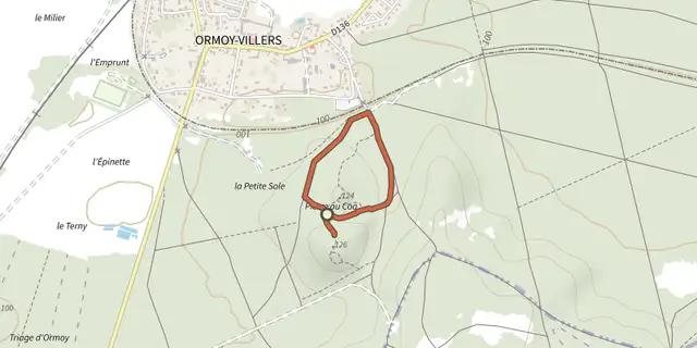
 Plan IGN © IGN 2026 · track © OpenStreetMapLa Pierre au CoqHauts-de-France, Ormoy-Villers (60) · Loop
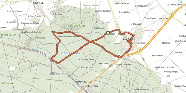 Plan IGN © IGN 2026 · track © OpenStreetMapParcours Nature à LévignenHauts-de-France, Lévignen (60) · Loop
 Plan IGN © IGN 2026 · track © OpenStreetMapBoucle dans les GombriesHauts-de-France, Boissy-Fresnoy (60) · Loop
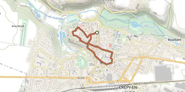 Plan IGN © IGN 2026 · track © OpenStreetMapFlânerie au Coeur de la Cité des ValoisHauts-de-France, Crépy-en-Valois (60) · Loop
 Plan IGN © IGN 2026 · track © OpenStreetMapLes Montagnes d'AugerHauts-de-France, Auger-Saint-Vincent (60) · Loop
 Plan IGN © IGN 2026 · track © OpenStreetMapAutour du château de VersignyHauts-de-France, Versigny (60) · Loop