
Road cycling GPX tracks in Hauts-de-France
10 GPX tracks in Hauts-de-France, with distance, elevation gain and time for each track. Filter by department, sport, distance, elevation gain and time.
Departments in Hauts-de-France
Filter the list below by department.
Regions
Pick a region on the map or below. Grey regions have no tracks yet.
All GPX tracks in Hauts-de-France

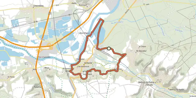
 Plan IGN © IGN 2026 · track © OpenStreetMapCircuit cyclotouriste de la CCBAHauts-de-France, Verberie (60) · Loop
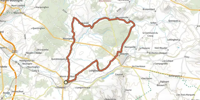 Plan IGN © IGN 2026 · track © OpenStreetMapLa Cité des PotiersHauts-de-France, Samer (62) · Loop
 Plan IGN © IGN 2026 · track © OpenStreetMapLe Haut PaysHauts-de-France, Hucqueliers (62) · Loop
 Plan IGN © IGN 2026 · track © OpenStreetMapLe Mont des MerveillesHauts-de-France, Preures (62) · Loop
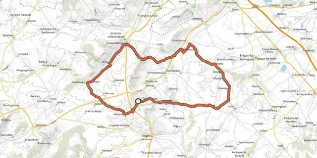 Plan IGN © IGN 2026 · track © OpenStreetMapLes Boucles de l’AaHauts-de-France, Radinghem (62) · Loop
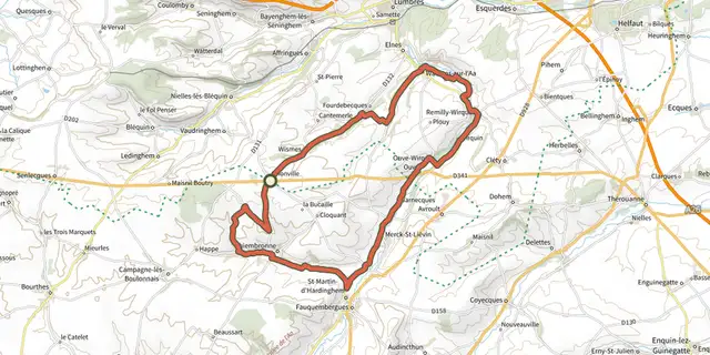 Plan IGN © IGN 2026 · track © OpenStreetMapLes CoteauxHauts-de-France, Vaudringhem (62) · Loop
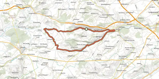 Plan IGN © IGN 2026 · track © OpenStreetMapLes Monts et les ValléesHauts-de-France, Seninghem (62) · Loop
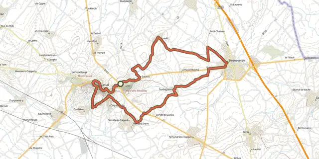 Plan IGN © IGN 2026 · track © OpenStreetMapLes Moulins de Flandre n°1 (Facettes du Nord Côté Vélo)Hauts-de-France, Cassel (59) · Loop
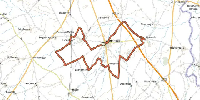 Plan IGN © IGN 2026 · track © OpenStreetMapLes Rives de l'Yser n°2 (Facettes du Nord Côté Vélo)Hauts-de-France, Wormhout (59) · Loop
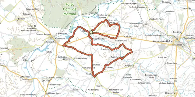 Plan IGN © IGN 2026 · track © OpenStreetMapMoulins et Kiosques en ThiéracheHauts-de-France, Maroilles (59) · Loop