
Road cycling GPX tracks in the Écrins
22 GPX tracks in the Écrins, with distance, elevation gain and time for each track. Filter by sport, distance, elevation gain and time.
Regions
Pick a region on the map or below. Grey regions have no tracks yet.
Mountain ranges
Pick a mountain range on the map or below: all its tracks, whatever the region.
All GPX tracks in the Écrins


 Plan IGN © IGN 2026At the gateway to the EcrinsÉcrins, Savines-le-Lac (05) · LoopOfficial rating by Parc national des Écrins
 Plan IGN © IGN 2026Col de Pontis depuis Savines-le-LacÉcrins, Savines-le-Lac (05) · Point to pointOfficial rating by Parc national des Écrins
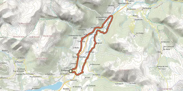 Plan IGN © IGN 2026From one bank of the Durance to the otherÉcrins, Embrun (05) · LoopOfficial rating by Parc national des Écrins
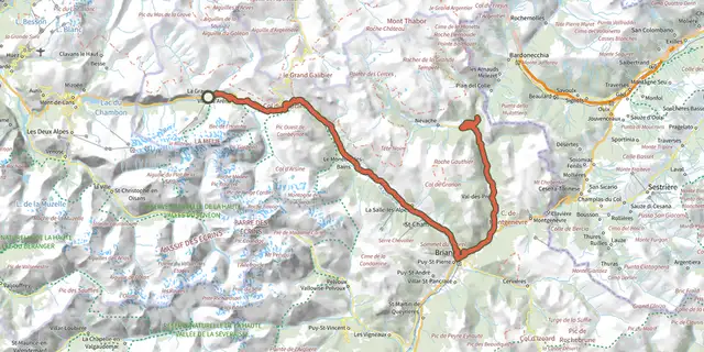 Plan IGN © IGN 2026De La Grave au Col de l'ÉchelleÉcrins, La Grave (05) · Out and backOfficial rating by Parc national des Écrins
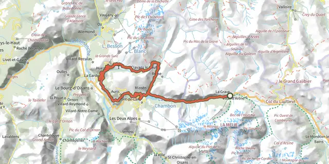 Plan IGN © IGN 2026De La Grave au col de Sarenne par l'Alpe d'HuezÉcrins, La Grave (05) · LoopOfficial rating by Parc national des Écrins
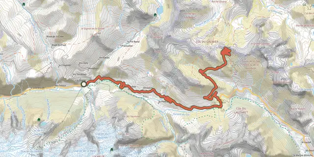 Plan IGN © IGN 2026De La Grave au Col du GalibierÉcrins, La Grave (05) · Out and backOfficial rating by Parc national des Écrins
 Plan IGN © IGN 2026De La Grave au Lac du Verney par les balcons de l'OisansÉcrins, La Grave (05) · LoopOfficial rating by Parc national des Écrins
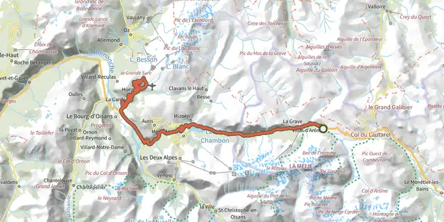 Plan IGN © IGN 2026De Villar d'Arène à l'Alpe d'HuezÉcrins, Villar-d'Arêne (05) · LoopOfficial rating by Parc national des Écrins
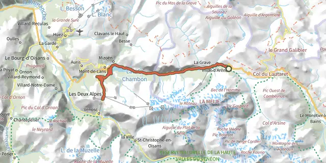 Plan IGN © IGN 2026De Villar d'Arène aux Deux AlpesÉcrins, Villar-d'Arêne (05) · Out and backOfficial rating by Parc national des Écrins
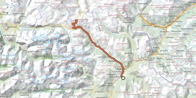 Plan IGN © IGN 2026De Villard-Saint-Pancrace au col du GalibierÉcrins, Villar-Saint-Pancrace (05) · Out and backOfficial rating by Parc national des Écrins
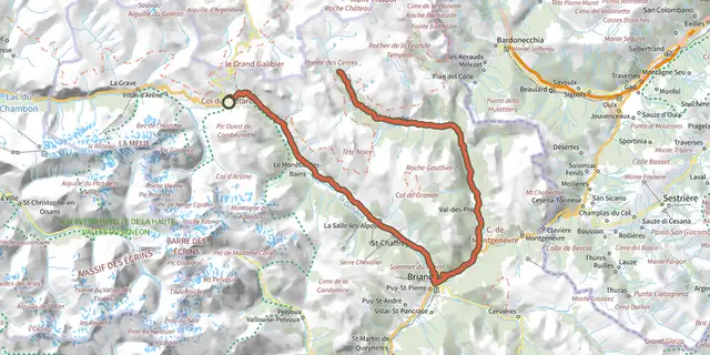 Plan IGN © IGN 2026Du Col du Lautaret à la haute vallée de la ClaréeÉcrins, Le Monêtier-les-Bains (05) · Out and backOfficial rating by Parc national des Écrins
 Plan IGN © IGN 2026Du Col du Lautaret au Col de l'IzoardÉcrins, Le Monêtier-les-Bains (05) · Out and backOfficial rating by Parc national des Écrins
 Plan IGN © IGN 2026L'argentière La Bessée - Les RobertsÉcrins, L'Argentière-la-Bessée (05) · Point to pointOfficial rating by Parc national des Écrins
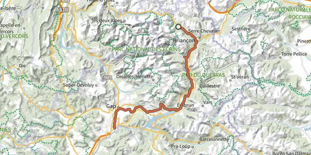 Plan IGN © IGN 2026The Durance by bikeÉcrins, Le Monêtier-les-Bains (05) · Point to pointOfficial rating by Parc national des Écrins
 Plan IGN © IGN 2026Around Lake Serre-PonçonÉcrins, Embrun (05) · LoopOfficial rating by Parc national des Écrins
 Plan IGN © IGN 2026The balconies of EmbrunÉcrins, Embrun (05) · LoopOfficial rating by Parc national des Écrins
 Plan IGN © IGN 2026Les Trois RivièresÉcrins, Savines-le-Lac (05) · LoopOfficial rating by Parc national des Écrins
 Plan IGN © IGN 2026Montée de la DrayeÉcrins, Crots (05) · Point to pointOfficial rating by Parc national des Écrins
 Plan IGN © IGN 2026Montée de Réallon depuis ChorgesÉcrins, Chorges (05) · Point to pointOfficial rating by Parc national des Écrins
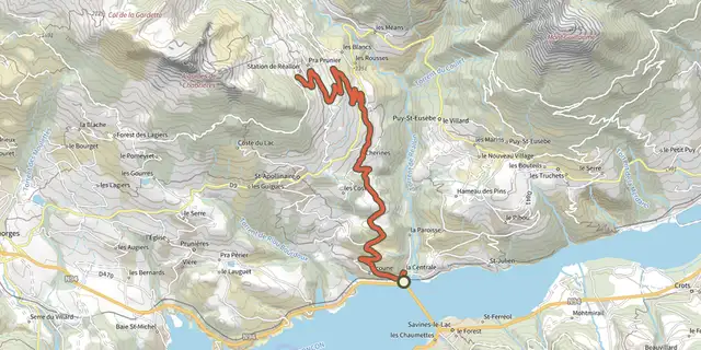 Plan IGN © IGN 2026Montée de Réallon depuis Savines-le-LacÉcrins, Savines-le-Lac (05) · Point to pointOfficial rating by Parc national des Écrins
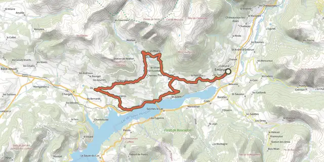 Plan IGN © IGN 2026Right bank Serre-PonçonÉcrins, Embrun (05) · LoopOfficial rating by Parc national des Écrins
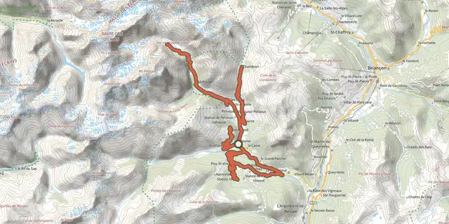 Plan IGN © IGN 2026Séjour en étoile - 3 jours de vélo en VallouiseÉcrins, Vallouise-Pelvoux (05) · LoopOfficial rating by Parc national des Écrins