
Plan Vianney lake and the Périer gap

Key facts
- Distance
- 14.1 km
- Ascent
- +1,540 m
- Descent
- −1,521 m
- Estimated time
- 8 hr 05
- hiking
- Difficulty
- Difficult
- official rating
- Route
- Out and back
- same way back
Profile and gradient
- under 10%
- 10 to 20%
- over 20%
Gradient along the route: 2.8 km under 10%, 1.4 km at 10 to 20% and 9.9 km over 20%. Elevation from 984 m to 2,513 m over 14.1 km.
Surface and path types
- Surface
- Paved 4%
- Dirt & gravel 94%
- Unknown 2%
- Path types
- Trail 94%
- Road 4%
- Off-network 2%
Description
Of lesser dimensions and reputation than the Lauvitel, the Plan Vianney lake is however worth the detour, as is the panorama over the Valbonnais Oisans areas from the Périer gap. This demanding hike that starts on the family (and busy) trail that leads to the Lauvitel lake then leaves the crowd to follow a different footpath that is high and steep overlooking the Lauvitel lake followed by the Plan Vianny lake. It therefore has a wonderful view before getting to the Périer gap. Cross the Danchère and continue to the crossing near to the Lauvitel stream. Go up the paved road to the left on the right bank of the stream. Cross the Selles stream near to the water catchment and climb up the bends among deciduous trees and spruce. After crossing an unobstructed area, you will come to a flat terrain that leads to the edge of the lake (1530m). To the right cross the large blocks towards the huts. Turn left onto a footpath that climbs on a ledge above the lake. Cross the Héritière stream then further on, the Mas stream and continue the meandering climb on the left bank of the Plan Vianney. Cross it to get to the upper valley. Continue up the valley and cross the first rocky projection by climbing up a small grassy corridor (steep slope) then a second, which is not so steep. Link up to the Plan Vianney lake (2250 m) before taking the footpath on a ledge that starts to the right above the lake. Cross over the rocky ledges until you reach a fork at the foot of the last slope. Go straight ahead and climb a vague, steep corridor (crumbling stones), that leads to the summit. Follow it to the right up to the highest point (2576 m) The return trip is made using the same itinerary in the opposite direction.
Difficulty
Official rating: difficult, by Parc national des Écrins.
Before you go
- It is preferable to make an early morning start as the path that leads to the Plan Vianney and then the gap is steep and exposed.
Getting there
Start: La Danchère, Les Deux Alpes (38).
Sources
- Track: Parc national des Écrins, Licence Ouverte 2.0, Licence Ouverte 2.0 (Etalab) (destination.ecrins-parcnational.fr/trek/903456-Le-lac-de-Plan-Vianney-et-la-breche-du-Perier). Time estimated by GPX Path with the Mac app rule, breaks not included.
- Surface and path types: © OpenStreetMap contributors, ODbL, extract of 28 October 2026, matched to the track every 10 m (openstreetmap.org/copyright)
- Official elevation gain: 1,540 m, Parc national des Écrins
Nearby tracks

 Plan IGN © IGN 2026Lauvitel LakeÉcrins, Les Deux Alpes (38) · LoopOfficial rating by Parc national des Écrins
 Plan IGN © IGN 2026Tour de l'Aiguille de VénoscÉcrins, Les Deux Alpes (38) · Point to pointOfficial rating by Parc national des Écrins
 Plan IGN © IGN 2026Muzelle LakeÉcrins, Les Deux Alpes (38) · Out and backOfficial rating by Parc national des Écrins
 Plan IGN © IGN 2026Tour GourmandÉcrins, Les Deux Alpes (38) · Point to pointOfficial rating by Parc national des Écrins
 Plan IGN © IGN 2026Le vallon de LanchâtraÉcrins, Saint-Christophe-en-Oisans (38) · Out and backOfficial rating by Parc national des Écrins
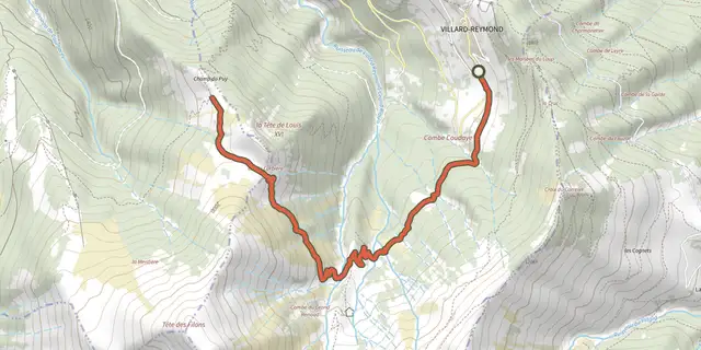 Plan IGN © IGN 2026Tête de Louis XVI via Col de CorbièreÉcrins, Villard-Reymond (38) · Out and backOfficial rating by Parc national des Écrins