
GPX tracks in the Écrins (page 4)
367 GPX tracks in the Écrins, with distance, elevation gain and time for each track. Filter by department, sport, distance, elevation gain and time.
All GPX tracks in the Écrins

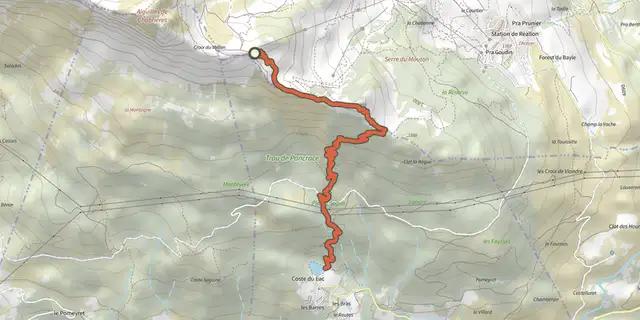
 Plan IGN © IGN 2026Enduro de JoubelleÉcrins, Réallon (05) · Point to pointOfficial rating by Parc national des Écrins
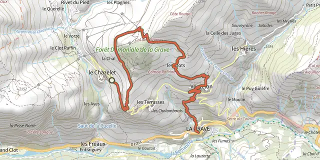 Plan IGN © IGN 2026Enduro de la GraveÉcrins, La Grave (05) · Point to pointOfficial rating by Parc national des Écrins
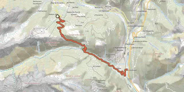 Plan IGN © IGN 2026ENDURO N°01 - L'EndurOréacÉcrins, Puy-Saint-Vincent (05) · Point to pointOfficial rating by Parc national des Écrins

 Plan IGN © IGN 2026Entrainement - Boucle Longue - FreissinièresÉcrins, Freissinières (05) · LoopOfficial rating by Parc national des Écrins
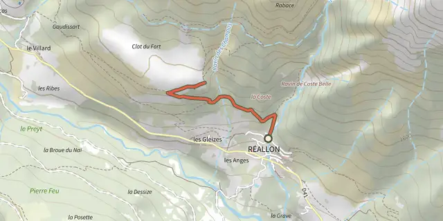
 Plan IGN © IGN 2026Réallon FortÉcrins, Réallon (05) · Out and backOfficial rating by Parc national des Écrins
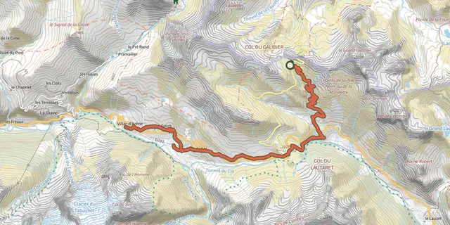 Plan IGN © IGN 2026Galibier Villar-d'ArêneÉcrins, Le Monêtier-les-Bains (05) · Point to pointOfficial rating by Parc national des Écrins
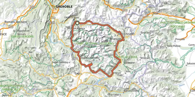 Plan IGN © IGN 2026Grand Tour des Ecrins VTT- Grande Traversée VTT-FFCÉcrins, Le Bourg-d'Oisans (38) · Point to pointOfficial rating by Parc national des Écrins
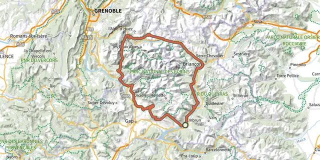 Plan IGN © IGN 2026Grand Tour des Ecrins VTTAE - Grande Traversée VTT-FFCÉcrins, Embrun (05) · Point to pointOfficial rating by Parc national des Écrins
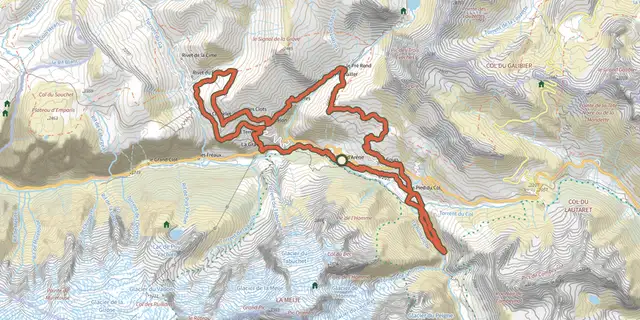 Plan IGN © IGN 2026Grand Tour du CantonÉcrins, Villar-d'Arêne (05) · LoopOfficial rating by Parc national des Écrins
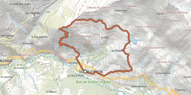 Plan IGN © IGN 2026Grande boucle de l'AiguillonÉcrins, Villar-d'Arêne (05) · LoopOfficial rating by Parc national des Écrins
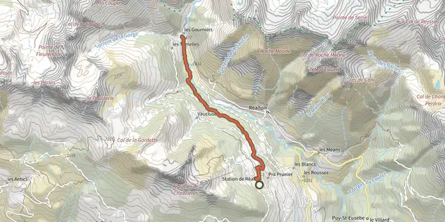 Plan IGN © IGN 2026Hamlet of GourniersÉcrins, Réallon (05) · Point to pointOfficial rating by Parc national des Écrins
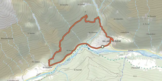 Plan IGN © IGN 2026Village of Les PeinesÉcrins, Villar-Loubière (05) · LoopOfficial rating by Parc national des Écrins
 Plan IGN © IGN 2026Kilomètre Vertical - FreissinièresÉcrins, Freissinières (05) · Out and backOfficial rating by Parc national des Écrins
 Plan IGN © IGN 2026Kilomètre Vertical - L'Argentière-la-BesséeÉcrins, L'Argentière-la-Bessée (05) · Out and backOfficial rating by Parc national des Écrins
 Plan IGN © IGN 2026Kilomètre Vertical - Vallouise-PelvouxÉcrins, Vallouise-Pelvoux (05) · Out and backOfficial rating by Parc national des Écrins
 Plan IGN © IGN 2026Kilomètre vertical des FréauxÉcrins, La Grave (05) · Out and backOfficial rating by Parc national des Écrins
 Plan IGN © IGN 2026L'AiguillonÉcrins, Villar-d'Arêne (05) · LoopOfficial rating by Parc national des Écrins
 Plan IGN © IGN 2026L'Aiguillon depuis les HièresÉcrins, La Grave (05) · Out and backOfficial rating by Parc national des Écrins
 Plan IGN © IGN 2026The Alpe de Villar d'ArêneÉcrins, Villar-d'Arêne (05) · LoopOfficial rating by Parc national des Écrins

 Plan IGN © IGN 2026L'argentière La Bessée - Les RobertsÉcrins, L'Argentière-la-Bessée (05) · Point to pointOfficial rating by Parc national des Écrins
 Plan IGN © IGN 2026L’Onde and Le VillardÉcrins, Vallouise-Pelvoux (05) · LoopOfficial rating by Parc national des Écrins
 Plan IGN © IGN 2026La BlancheÉcrins, Vallouise-Pelvoux (05) · Out and backOfficial rating by Parc national des Écrins
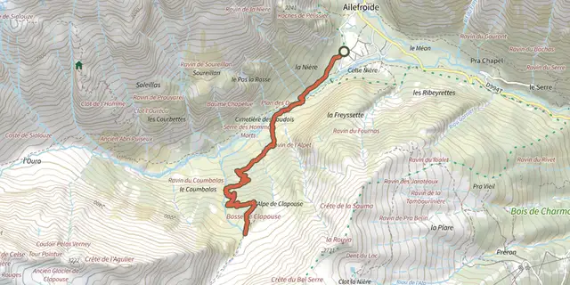 Plan IGN © IGN 2026La Bosse de ClapouseÉcrins, Vallouise-Pelvoux (05) · Out and backOfficial rating by Parc national des Écrins
 Plan IGN © IGN 2026The Ailefroide loopÉcrins, Vallouise-Pelvoux (05) · LoopOfficial rating by Parc national des Écrins