
Traces GPX dans les Écrins (page 4)
367 traces GPX dans les Écrins, avec distance, dénivelé et durée pour chaque trace. Filtrez par département, sport, distance, dénivelé et durée.
Toutes les traces GPX dans les Écrins

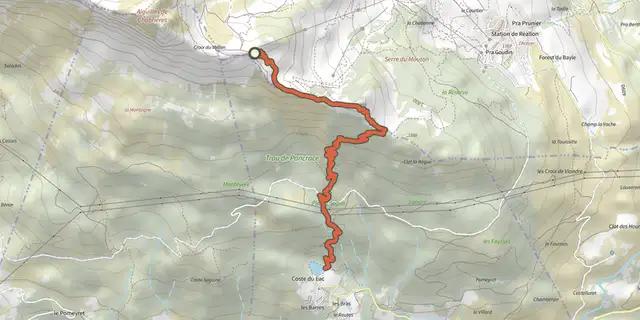
 Plan IGN © IGN 2026Enduro de JoubelleÉcrins, Réallon (05) · TraverséeCotation officielle selon Parc national des Écrins
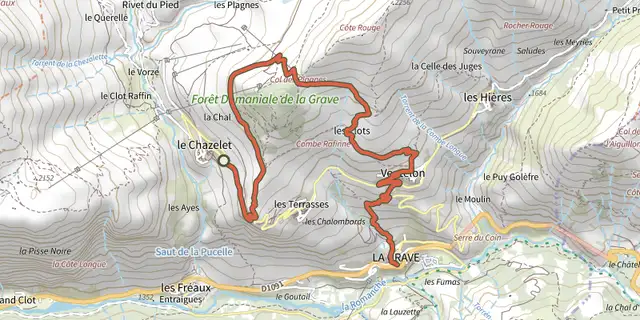 Plan IGN © IGN 2026Enduro de la GraveÉcrins, La Grave (05) · TraverséeCotation officielle selon Parc national des Écrins
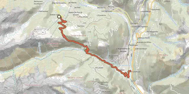 Plan IGN © IGN 2026ENDURO N°01 - L'EndurOréacÉcrins, Puy-Saint-Vincent (05) · TraverséeCotation officielle selon Parc national des Écrins

 Plan IGN © IGN 2026Entrainement - Boucle Longue - FreissinièresÉcrins, Freissinières (05) · BoucleCotation officielle selon Parc national des Écrins
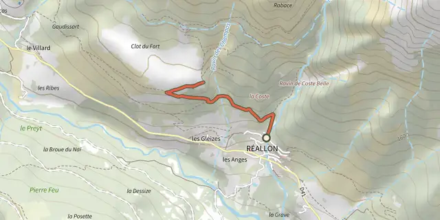
 Plan IGN © IGN 2026Fort de RéallonÉcrins, Réallon (05) · Aller-retourCotation officielle selon Parc national des Écrins
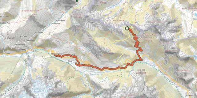 Plan IGN © IGN 2026Galibier Villar-d'ArêneÉcrins, Le Monêtier-les-Bains (05) · TraverséeCotation officielle selon Parc national des Écrins
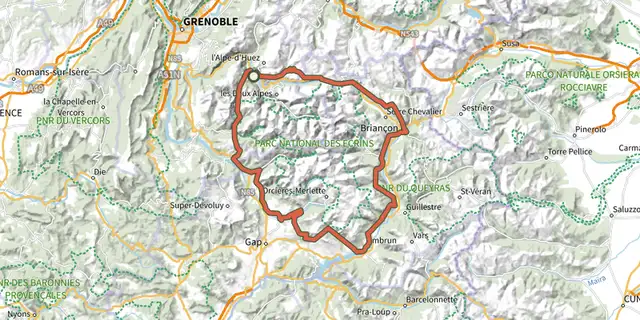 Plan IGN © IGN 2026Grand Tour des Ecrins VTT- Grande Traversée VTT-FFCÉcrins, Le Bourg-d'Oisans (38) · TraverséeCotation officielle selon Parc national des Écrins
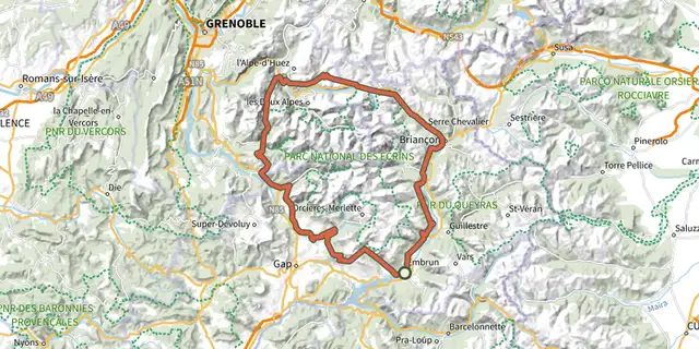 Plan IGN © IGN 2026Grand Tour des Ecrins VTTAE - Grande Traversée VTT-FFCÉcrins, Embrun (05) · TraverséeCotation officielle selon Parc national des Écrins
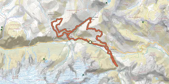 Plan IGN © IGN 2026Grand Tour du CantonÉcrins, Villar-d'Arêne (05) · BoucleCotation officielle selon Parc national des Écrins
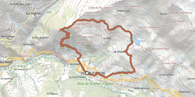 Plan IGN © IGN 2026Grande boucle de l'AiguillonÉcrins, Villar-d'Arêne (05) · BoucleCotation officielle selon Parc national des Écrins
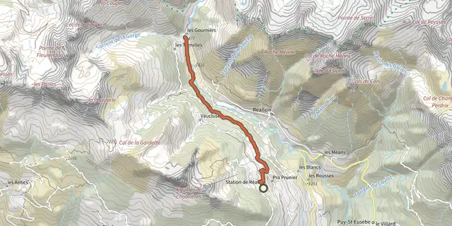 Plan IGN © IGN 2026Hameau des GourniersÉcrins, Réallon (05) · TraverséeCotation officielle selon Parc national des Écrins
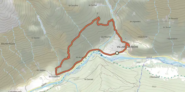 Plan IGN © IGN 2026Hameau des PeinesÉcrins, Villar-Loubière (05) · BoucleCotation officielle selon Parc national des Écrins
 Plan IGN © IGN 2026Kilomètre Vertical - FreissinièresÉcrins, Freissinières (05) · Aller-retourCotation officielle selon Parc national des Écrins
 Plan IGN © IGN 2026Kilomètre Vertical - L'Argentière-la-BesséeÉcrins, L'Argentière-la-Bessée (05) · Aller-retourCotation officielle selon Parc national des Écrins
 Plan IGN © IGN 2026Kilomètre Vertical - Vallouise-PelvouxÉcrins, Vallouise-Pelvoux (05) · Aller-retourCotation officielle selon Parc national des Écrins
 Plan IGN © IGN 2026Kilomètre vertical des FréauxÉcrins, La Grave (05) · Aller-retourCotation officielle selon Parc national des Écrins
 Plan IGN © IGN 2026L'AiguillonÉcrins, Villar-d'Arêne (05) · BoucleCotation officielle selon Parc national des Écrins
 Plan IGN © IGN 2026L'Aiguillon depuis les HièresÉcrins, La Grave (05) · Aller-retourCotation officielle selon Parc national des Écrins
 Plan IGN © IGN 2026L'Alpe de Villar d'ArêneÉcrins, Villar-d'Arêne (05) · BoucleCotation officielle selon Parc national des Écrins

 Plan IGN © IGN 2026L'argentière La Bessée - Les RobertsÉcrins, L'Argentière-la-Bessée (05) · TraverséeCotation officielle selon Parc national des Écrins
 Plan IGN © IGN 2026L’Onde et Le VillardÉcrins, Vallouise-Pelvoux (05) · BoucleCotation officielle selon Parc national des Écrins
 Plan IGN © IGN 2026La BlancheÉcrins, Vallouise-Pelvoux (05) · Aller-retourCotation officielle selon Parc national des Écrins
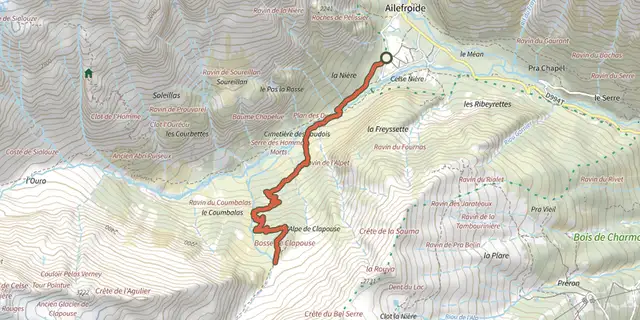 Plan IGN © IGN 2026La Bosse de ClapouseÉcrins, Vallouise-Pelvoux (05) · Aller-retourCotation officielle selon Parc national des Écrins
 Plan IGN © IGN 2026La boucle d’AilefroideÉcrins, Vallouise-Pelvoux (05) · BoucleCotation officielle selon Parc national des Écrins