
Castelviel
Key facts
- Distance
- 8.4 km
- Ascent
- +387 m
- Descent
- −325 m
- Estimated time
- 2 hr 35
- hiking
- Difficulty
- Moderate
- official rating
- Route
- Loop
- back to the start
Profile and gradient
- under 10%
- 10 to 20%
- over 20%
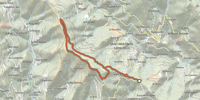
Gradient along the route: 6.1 km under 10%, 2.1 km at 10 to 20% and 0.2 km over 20%. Elevation from 670 m to 914 m over 8.4 km.
Description
This ridge path offers exceptional panoramic views over the Trabassac valley, the Corniche des Cévennes and Mont Aigoual: a singular area, where history and landscape merge! From the parking area, cross the road and take the forestry track opposite. - After 600 m, take the track on the right. You walk below pines and clear-cut areas. - At the intersection, take the track on the right; at the second intersection, continue straight ahead. - Take the leftmost track and cross over to the other side of the ridge. - After 1.1 km, the track turns slightly left. Then it changes into a path and veers right (steep slope). Walk alongside the ridge. Be careful: some sections are vertiginous and schist bedrock might be slippery when it is raining. - When you arrive at the highest point, take the path on the left to another high point. - Continue for 20 metres, until you see the path again (steep section on schist). - At the intersection, turn left. At the second intersection, continue straight ahead. Finally, at the third intersection, turn right onto the first track of this walk. You will reach the parking area after 1.4 km.
Difficulty
Official rating: moderate, by Parc national des Cévennes.
Before you go
- Make sure your equipment is appropriate for the day’s weather conditions. Remember that the weather changes quickly in the mountains. Take enough water, wear sturdy shoes and put on a hat. Please close all gates and barriers behind you.
Getting there
Start: Au col à 2km avant Saint-Martin de Lansuscle (D 28), Saint-Martin-de-Lansuscle (48).
Sources
- Track: Parc national des Cévennes, Licence Ouverte 1.0, Licence Ouverte 1.0 (Etalab) (destination.cevennes-parcnational.fr/trek/43205-Castelviel). Time estimated by GPX Path with the Mac app rule, breaks not included.
- Official elevation gain: 387 m, Parc national des Cévennes
Nearby tracks
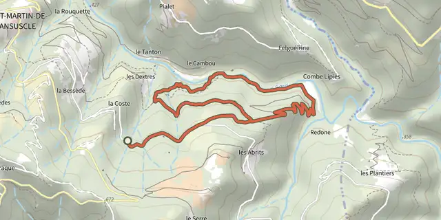
 Plan IGN © IGN 2026Béal des AbritsCévennes, Saint-Martin-de-Lansuscle (48) · LoopOfficial rating by Parc national des Cévennes
 Plan IGN © IGN 2026Trail of MemoriesCévennes, Sainte-Croix-Vallée-Française (48) · LoopOfficial rating by Parc national des Cévennes
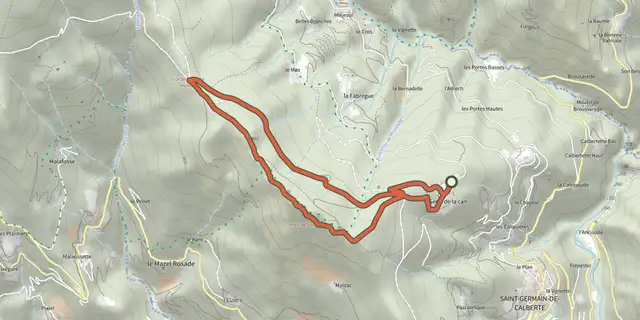 Plan IGN © IGN 2026The Rocks of GaltaCévennes, Saint-Germain-de-Calberte (48) · LoopOfficial rating by Parc national des Cévennes
 Plan IGN © IGN 2026Saint-Germain-de-CalberteCévennes, Saint-Germain-de-Calberte (48) · LoopOfficial rating by Parc national des Cévennes
 Plan IGN © IGN 2026La FlandonenqueCévennes, Saint-Germain-de-Calberte (48) · LoopOfficial rating by Parc national des Cévennes
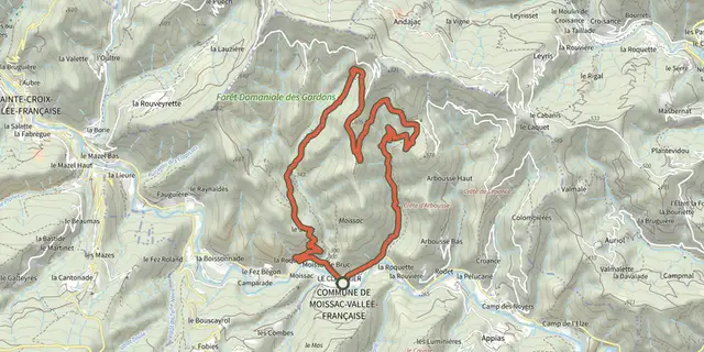 Plan IGN © IGN 2026La Carrière, sur les pas des MaquisardsCévennes, Moissac-Vallée-Française (48) · LoopOfficial rating by Parc national des Cévennes