
Saint-Germain-de-Calberte

Key facts
- Distance
- 2.3 km
- Ascent
- +108 m
- Descent
- −59 m
- Estimated time
- 40 min
- hiking
- Difficulty
- Very easy
- official rating
- Route
- Loop
- back to the start
Profile and gradient
- under 10%
- 10 to 20%
- over 20%
Gradient along the route: 2.1 km under 10% and 0.2 km at 10 to 20%. Elevation from 470 m to 532 m over 2.3 km.
Description
This path takes you through the history of the village and the landscape, of which Les Calquières hamlet constitutes one of the most remarkable sites. This walk takes you through Saint-Germain de Calberte, a land of refuge deep in the Cévennes. This village bears witness to the history of a Cévenol valley from the Middle Ages to World War Two. The hamlet of les Calquières is surrounded by landscapes shaped by its inhabitants throughout the centuries and is one of Saint Germain’s most remarkable sites. At the centre of the village, a monument pays homage to the Cévenols and to all people who live in harmony with nature.
Difficulty
Official rating: very easy, by Parc national des Cévennes.
Before you go
- There are vertiginous sections that are also slippery when wet on the path to Les Calquières (between signs 10 and 11). If necessary, you can avoid these by staying on the road on the way there and back.
- This path consists of 13 numbered signs.
Getting there
Start: En face de la mairie, Saint-Germain-de-Calberte (48).
Sources
- Track: Parc national des Cévennes, Licence Ouverte 1.0, Licence Ouverte 1.0 (Etalab) (destination.cevennes-parcnational.fr/trek/37916-Saint-Germain-de-Calberte). Time estimated by GPX Path with the Mac app rule, breaks not included.
- Official elevation gain: 108 m, Parc national des Cévennes
Nearby tracks
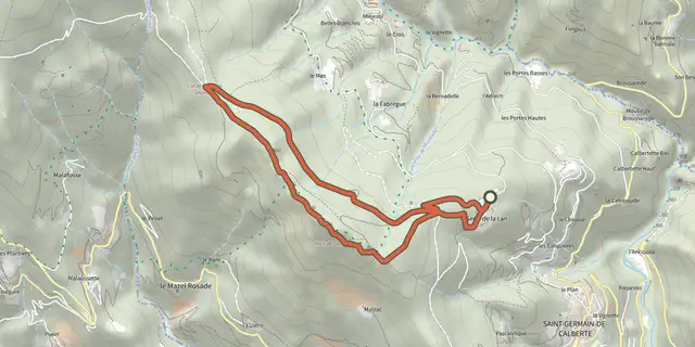
 Plan IGN © IGN 2026The Rocks of GaltaCévennes, Saint-Germain-de-Calberte (48) · LoopOfficial rating by Parc national des Cévennes
 Plan IGN © IGN 2026Grisou the MuleCévennes, Saint-André-de-Lancize (48) · LoopOfficial rating by Parc national des Cévennes
 Plan IGN © IGN 2026La FlandonenqueCévennes, Saint-Germain-de-Calberte (48) · LoopOfficial rating by Parc national des Cévennes
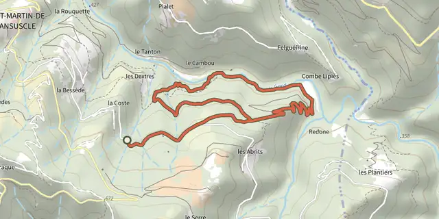 Plan IGN © IGN 2026Béal des AbritsCévennes, Saint-Martin-de-Lansuscle (48) · LoopOfficial rating by Parc national des Cévennes
 Plan IGN © IGN 2026CastelvielCévennes, Saint-Martin-de-Lansuscle (48) · LoopOfficial rating by Parc national des Cévennes
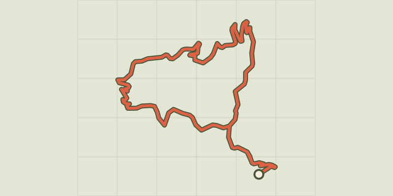 Plan IGN © IGN 2026Le GardonnetCévennes, Saint-Hilaire-de-Lavit (48) · LoopOfficial rating by Parc national des Cévennes